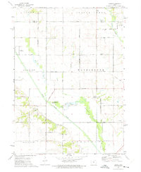
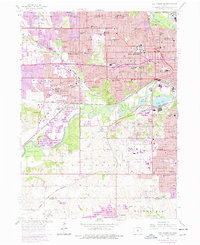
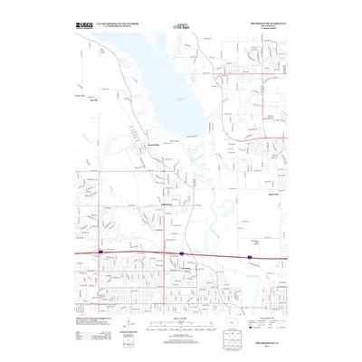
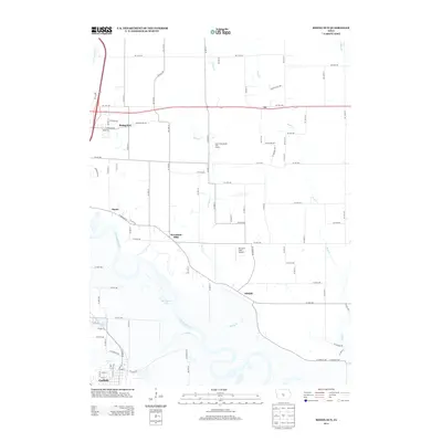
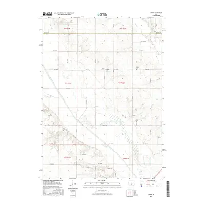
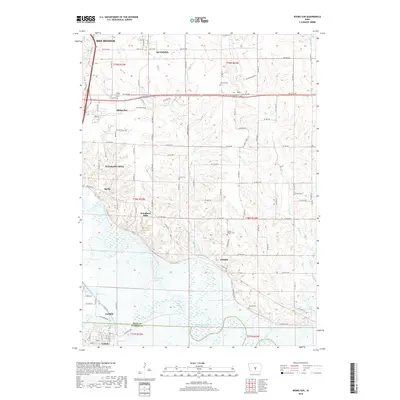
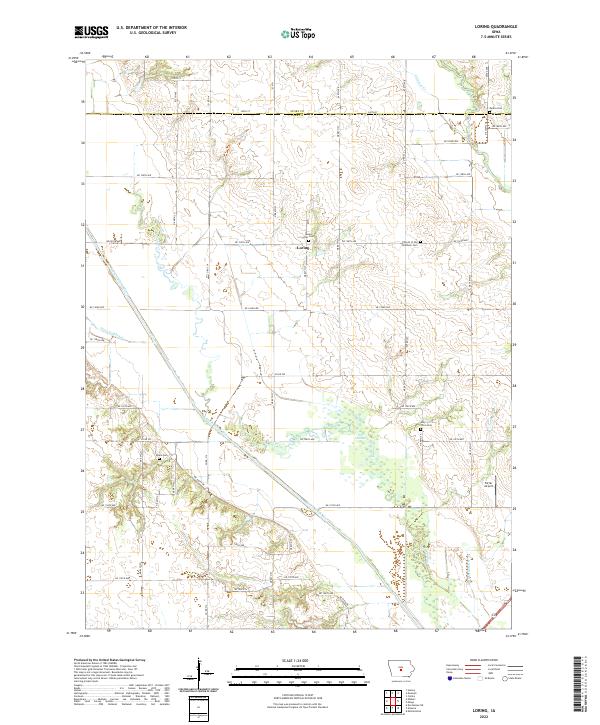
1972 Map of Loring
USGS Topo · Published 1975About this map
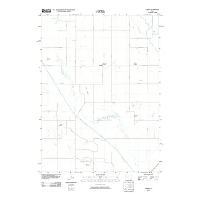
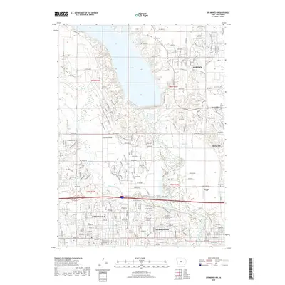
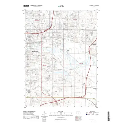
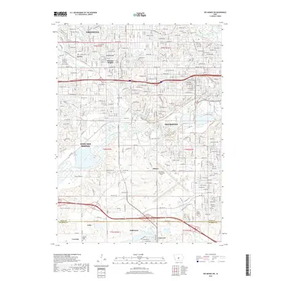
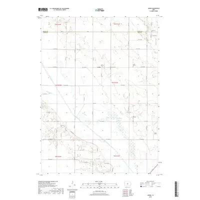
The South Skunk River valley dominates this portion of central Iowa, where the landscape is a grid-work of agricultural roads and managed natural areas. The Chichaqua Wildlife Habitat follows the meandering path of an Old Channel, preserving a portion of the river's original hydrology alongside more modern engineered waterways like Ditch No 11 and Ditch No 38. The small settlement of Loring sits at a crossroads, representing the rural communities that anchored the region's farming economy during the early 1970s. For genealogists and local historians, the map provides precise locations for several small country landmarks, including the Cory Grove Ch and Byers Cem. The presence of an Old Railroad Grade in the east and the North Polk Landing Strip in the west illustrates the shifting modes of rural transportation and commerce through the mid-20th century.
Find a feature on this map
40 named features on this map. Tap any name to fly to it.
Don’t see what you’re looking for? This feature index may not catch every label — zoom into the map to look around manually.
Map Details
Editions of this 1972 Loring Map
This is the sole edition of this map. No revisions or reprints were ever made.
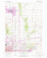
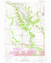
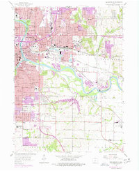
Historical Maps of Loring Through Time
36 maps found
1956 Des Moines NE
Polk County, IA
1956 Des Moines NW
Polk County, IA
1956 Des Moines SE
Polk County, IA
1956 Des Moines SW
Polk County, IA
1972 Loring
Polk County, IA

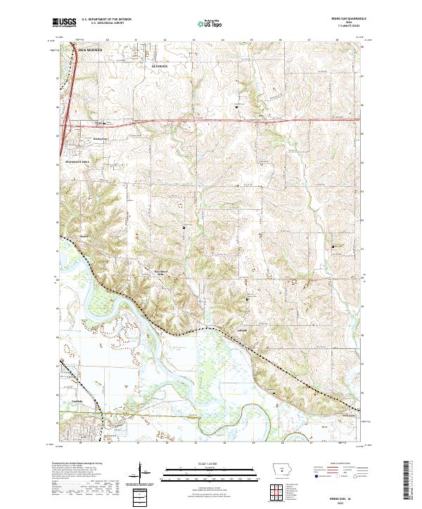
1972 Rising Sun
Polk County, IA
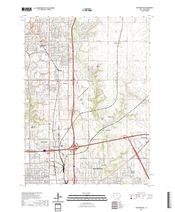
2010 Des Moines NE
Polk County, IA
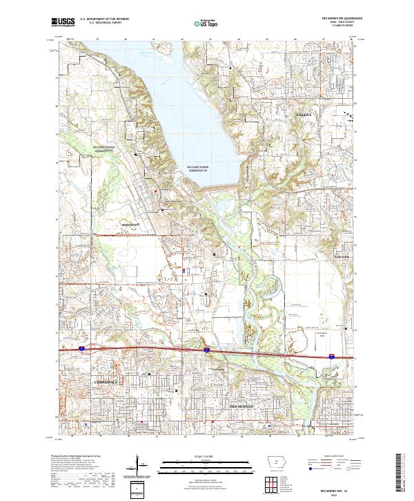
2010 Des Moines NW
Polk County, IA
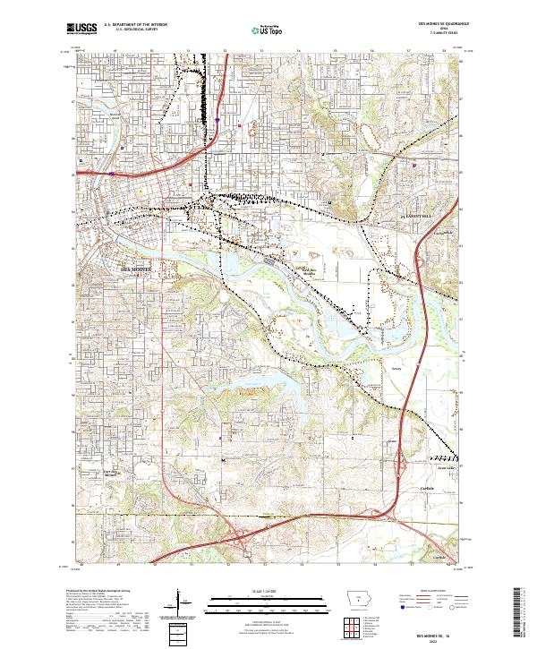
2010 Des Moines SE
Polk County, IA
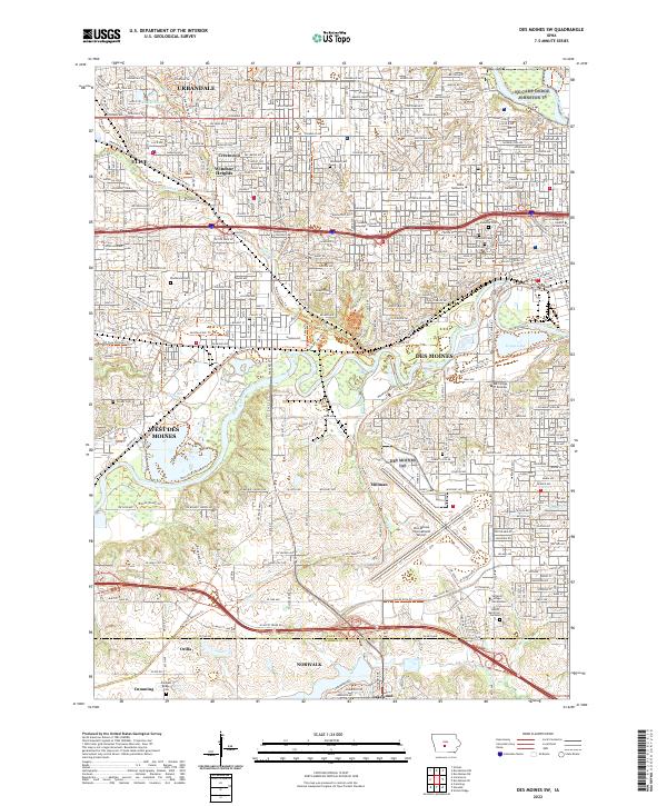
2010 Des Moines SW
Polk County, IA
2010 Loring
Polk County, IA
2010 Rising Sun
Polk County, IA
2013 Des Moines NE
Polk County, IA
2013 Des Moines NW
Polk County, IA
2013 Des Moines SE
Polk County, IA
2013 Des Moines SW
Polk County, IA
2013 Loring
Polk County, IA
2013 Rising Sun
Polk County, IA
2015 Des Moines NE
Polk County, IA
2015 Des Moines NW
Polk County, IA
2015 Des Moines SE
Polk County, IA
2015 Des Moines SW
Polk County, IA
2015 Loring
Polk County, IA
2015 Rising Sun
Polk County, IA
2018 Des Moines NE
Polk County, IA
2018 Des Moines NW
Polk County, IA
2018 Des Moines SE
Polk County, IA
2018 Des Moines SW
Polk County, IA
2018 Loring
Polk County, IA
2018 Rising Sun
Polk County, IA
2022 Des Moines NE
Polk County, IA
2022 Des Moines NW
Polk County, IA
2022 Des Moines SE
Polk County, IA
2022 Des Moines SW
Polk County, IA
2022 Loring
Polk County, IA
2022 Rising Sun
Polk County, IA