Old Maps of Washington Township, Iowa for Metal Detecting
Plan your next treasure hunt with 30 historic maps of Washington Township. Find old homesites, ghost towns, trails, and gathering spots that may be lost to time — perfect for identifying promising metal detecting locations.
- Locate forgotten sites: Uncover places like long-lost settlements, abandoned rail lines, or gathering spots.
- Plan better hunts: Use map overlays combined with LiDAR or satellite views to narrow in on historically rich areas.
- Made for detectorists: Thousands of hobbyists use these maps to discover relics, coins, and hidden history.
Use these historic maps to boost your research and find new opportunities beneath the surface of Washington Township.
Washington Township, IA maps
(30)- 1930 Map of Mitchellville
 1930 Mitchellville1930 Print · USGSCentral Iowa's fertile prairie and river valleys come alive in this late 1920s survey of the settlements between the Skunk and Des Moines rivers. Researchers can locate dozens of country schools like Nebo Sch and Peacock Sch or trace family roots near Camp Center Ch.3 unique versions available
 - 1954 Map of Des Moines, 1973 Print
 1954 Des Moines1973 Print · USGSCentral Iowa's evolving landscape is captured here in the early seventies, just as major reservoirs were reshaping the river valleys. Genealogists and historians can trace the rail corridors of the Burlington Northern or locate family roots near Pella, Indianola, and Knoxville.2 unique versions available
 - 1956 Map of Des Moines
 1956 Des Moines1956 Print · USGSCentral Iowa in the mid-fifties shows a landscape defined by bustling rail hubs and deep-rooted agricultural research. Genealogists and researchers can trace the growth of Des Moines and Ames, locate the Sac and Fox Indian Reservation, or study the paths of the Skunk River and South Skunk River.
 - 1957 Map of Des Moines
 1957 Des Moines1957 Print · USGSCentral Iowa's post-war landscape is defined here by the converging rail lines and river valleys that shaped its earliest settlements. Genealogists and historians can trace the paths of the Rock Island Railroad and locate community landmarks in Des Moines, Ames, and Newton.
 - 1965 Map of Prairie City, 1966 Print
 1965 Prairie City1966 Print · USGSPrairie City and the surrounding Jasper County townships are shown in the mid-sixties as the landscape transitioned with new infrastructure and water management. Genealogists can locate family sites at Waveland Cem, Griffis Cem, and the Church of the Brethren.
 - 1965 Map of Colfax, 1966 Print
 1965 Colfax1966 Print · USGSJasper County in the mid-sixties reveals a landscape shaped by the South Skunk River and the expanding highway network. Researchers can trace family roots at Slaughter Cem or explore the rail-side settlement of Metz and the streets of Colfax.
 - 1969 Map of Des Moines
 1969 Des Moines1969 Print · USGSCentral Iowa's fertile plains and growing capital are captured here during the late sixties, a time of major highway expansion and reservoir construction. Genealogists and researchers can trace rural township boundaries, local cemeteries, and rail lines serving towns like Pella, Grinnell, and Oskaloosa.
 - 1972 Map of Runnells, 1974 Print
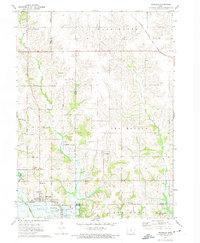 1972 Runnells1974 Print · USGSRunnells and the southern Polk County borderlands are shown here in the early seventies, just as the regional landscape was adjusting to the presence of Lake Red Rock. Researchers can trace old family sites and rural infrastructure through the Vandalia Cem, the Runnells Sch, and the Norfolk and Western rail line.
 - 1972 Map of Mitchellville, 1974 Print
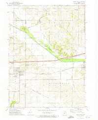 1972 Mitchellville1974 Print · USGSAcross the Polk and Jasper County line in the early 1970s, this area shows a landscape defined by rail corridors and the meandering South Skunk River. Genealogists can locate family landmarks like Sams Cem and Fisher Cem or trace the small-town footprints of Valeria and Mitchellville.
 - 1984 Map of Des Moines, 1985 Print
 1984 Des Moines1985 Print · USGSCentral Iowa's heartland is captured in the mid-1980s as suburban growth met long-standing farm and rail infrastructure. Genealogists and researchers can trace the reaches of the Chicago and North Western through Maxwell or locate Laurel Hill Cem and Camp Dodge Military Reservation.2 unique versions available
 - 2010 Map of Mitchellville, 2010 Print
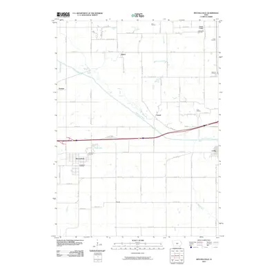 2010 Mitchellville2010 Print · USGSMitchellville and the surrounding farm country of Central Iowa are captured here in the early twenty-first century as the South Skunk River flows past established rural townships. Researchers can locate numerous local burial grounds including Sams Cemetery, Fisher Cemetery, and the Shipp Cemetery.
 - 2010 Map of Prairie City, 2010 Print
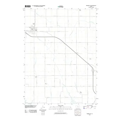 2010 Prairie City2010 Print · USGSPrairie City and the surrounding Jasper County countryside are shown here in the early 2000s, defined by a rich agricultural grid and numerous rural burial sites. Genealogists can trace family locations near Waveland Cemetery, Griffis Cemetery, and the settlement of Fairmont.
 - 2010 Map of Runnells, 2010 Print
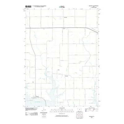 2010 Runnells2010 Print · USGSThe community of Runnells and the northern reaches of Lake Red Rock are captured here in the early twenty-first century. Family historians can locate specific sites like the Vandalia Cemetery, Lowman Cemetery, and the Runnells Post Office.
 - 2010 Map of Colfax, 2010 Print
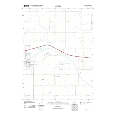 2010 Colfax2010 Print · USGSJasper County as it appeared in the early twenty-first century shows a landscape defined by the South Skunk River and rural settlement patterns. Genealogists can trace several historic interments including Slaughter Cemetery, Sugar Grove Cemetery, and the Kelley Family Burial Ground.
 - 2013 Map of Runnells, 2013 Print
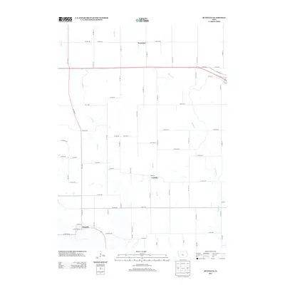 2013 Runnells2013 Print · USGSRunnells and the surrounding Polk County countryside are captured here in the early twenty-first century, showing a landscape shaped by rural roads and prairie streams. Researchers can trace the local geographies of Vandalia and Prairiebell or follow the paths of Camp Cr and Walnut Cr.
 - 2013 Map of Mitchellville, 2013 Print
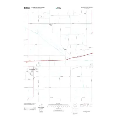 2013 Mitchellville2013 Print · USGSMitchellville and the surrounding Polk County farm country are shown here in the early twenty-first century as the landscape maintains its deep agricultural roots. Researchers can trace rural settlement patterns near Valeria, Oswalt, and the banks of the S Skunk River.
 - 2013 Map of Prairie City, 2013 Print
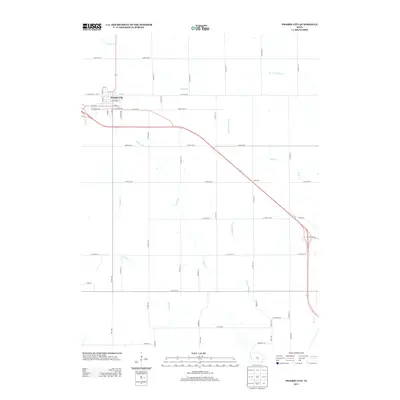 2013 Prairie City2013 Print · USGSJasper County's prairie landscape is mapped here during a period of modern transit expansion alongside traditional farming grids. Genealogists and local historians can trace the town layout of Prairie City, the small settlement of Fairmont, and the original route of Old Ia 163.
 - 2013 Map of Colfax, 2013 Print
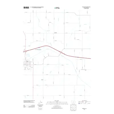 2013 Colfax2013 Print · USGSJasper County as it appeared in the early 2010s shows a landscape where the S Skunk River valley dictates the placement of towns and roads. Genealogists and local historians can trace the rural hubs of Colfax, Goddard, and Metz among the creek-fed prairies.
 - 2015 Map of Mitchellville, 2015 Print
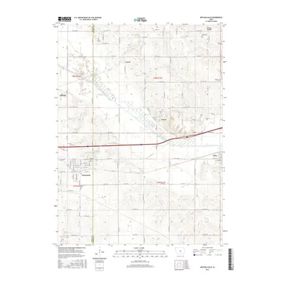 2015 Mitchellville2015 Print · USGSThe Polk and Jasper county border comes to life in this mid-2010s survey, showing the agrarian landscape surrounding the South Skunk River. Researchers can trace old family sites and local burials at Mitchellville Cem, Mckeever Cem, and the high ground of Green Castle.
 - 2015 Map of Runnells, 2015 Print
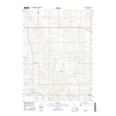 2015 Runnells2015 Print · USGSRunnells and the surrounding farm country of Polk and Jasper counties are captured here in the mid-2010s. Genealogists and local historians can trace legacy land patterns and locate rural burial sites like Lowman Cem, Vandalia Cem, and Prairie Belle Cem.
 - 2015 Map of Prairie City, 2015 Print
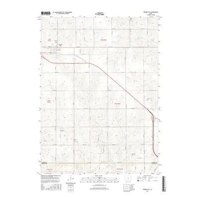 2015 Prairie City2015 Print · USGSPrairie City and the surrounding Jasper County farmlands are captured in the mid-2010s, illustrating the enduring agricultural patterns of central Iowa. Family historians can trace ancestral sites across several rural burial grounds, including Dowler Cem, Griffis Cem, and Rhinehart Cem.
 - 2015 Map of Colfax, 2015 Print
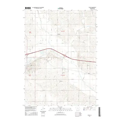 2015 Colfax2015 Print · USGSJasper County as it appeared in 2015 remains a landscape of river valleys and rural crossroads. Researchers can trace family history through several significant burial sites, including Kelley Family Burial Ground, Sugar Grove Cem, and Slaughter Cem.
 - 2018 Map of Runnells, 2018 Print
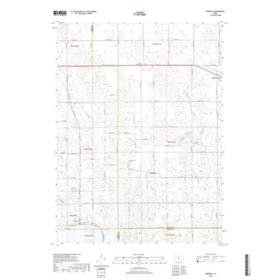 2018 Runnells2018 Print · USGSThe rural landscapes of central Iowa are shown here during the late 2010s, where three counties meet. Researchers can trace the layout of Runnells and Prairie City or locate old burial grounds like Vandalia Cem and Lowman Cem along the Camp Creek drainage.
 - 2018 Map of Mitchellville, 2018 Print
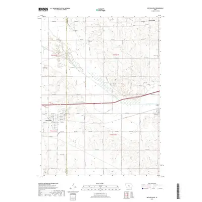 2018 Mitchellville2018 Print · USGSThe borderlands of Polk and Jasper counties are captured here in the late 2010s, centered on the South Skunk River valley. Genealogists can locate numerous rural burial sites including Greencastle and Sams Cem, while tracing the footprints of Mitchellville, Valeria, and Oswalt.
 - 2018 Map of Colfax, 2018 Print
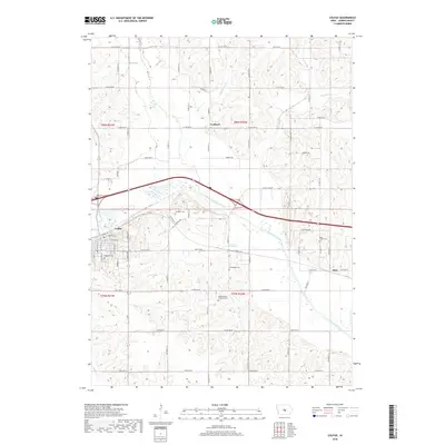 2018 Colfax2018 Print · USGSJasper County landscape at the end of the 2010s reveals a patchwork of river valleys and rural homesteads. Genealogists can locate several historic burial sites, including the Kelley Family Burial Ground, Sugar Grove Cem, and Slaughter Cem.
Showing maps 1-25 of 30
Top cities near Washington Township
- Des Moines historical maps
- Altoona historical maps
- Newton historical maps
- Pleasant Hill historical maps
- Bondurant historical maps
- Carlisle historical maps
See more
Top neighborhoods of Washington Township
Frequently asked questions
- What are the different types of historical maps available for Washington Township?
- What is the oldest map of Washington Township?
- Where can I purchase historical maps of Washington Township for my home or office?
- Where can I download high-res historical maps of Washington Township?
- Are there historical topographic maps available for Washington Township?
- Is there historical aerial imagery available for Washington Township?
- Where are historical maps of Washington Township sourced from?