2020s Maps of Johnson County, Iowa
Explore 18 historic maps of Johnson County from the 2020s. These maps offer a rare glimpse into what life looked like during the 2020s — showing old roads, neighborhoods, homes, and landmarks that have changed or disappeared over time.
Whether you're researching your family's past, planning a metal detecting trip, or studying how Johnson County's landscape evolved across the 2020s, these high-resolution maps are a powerful tool for exploring the history of this region.
- Focus on a specific era: All maps on this page are from the 2020s, giving you a focused view of this time period.
- See what’s changed: Compare century-old streets, trails, and buildings to today's modern landscape using overlays and satellite layers.
- Research with precision: Use these maps for genealogy, historical research, land use analysis, or educational projects.
- View, download, or print: Maps are fully viewable online in high resolution, and can be downloaded or printed for your own records.
Start exploring Johnson County's history through authentic maps from the 2020s. This is your window into the past.
Johnson County, IA maps
(18)- 2022 Map of West Liberty SW, 2022 Print
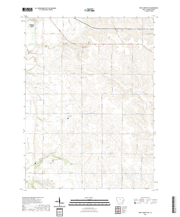 2022 West Liberty SW2022 Print · USGSSoutheast of the county seat in the early 2020s, this landscape shows the rural heritage of Johnson County. Genealogists can locate several local burial grounds like Thompson Cherry Cem and Walker Cem along the banks of Big Slough.
 - 2022 Map of Amish, 2022 Print
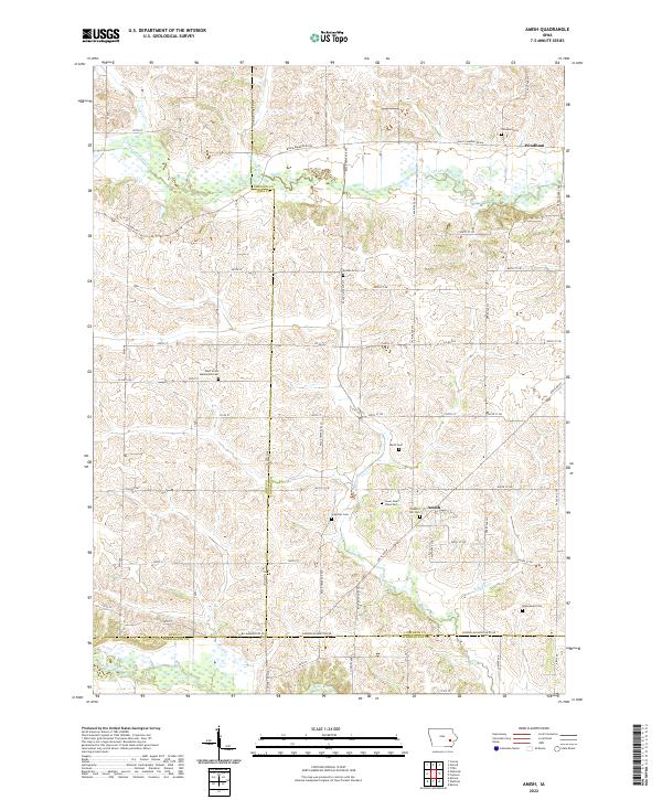 2022 Amish2022 Print · USGSThe rural borderlands of Johnson and Iowa counties are captured here in the early twenty-first century, showcasing a landscape of steady agricultural tradition. Genealogists can trace family heritage through numerous burial sites like West Union Mennonite Cem, Bethel Cem, and the village of Amish.
 - 2022 Map of Iowa City West, 2022 Print
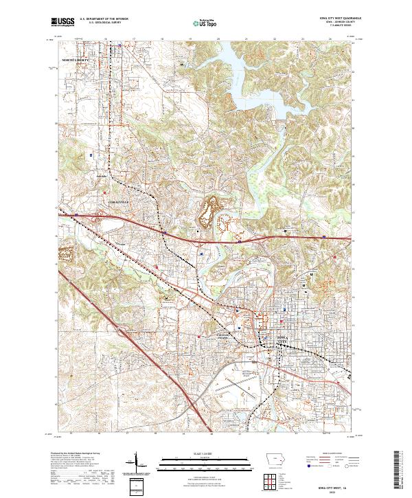 2022 Iowa City West2022 Print · USGSIowa City and Coralville are shown during their modern expansion in the early twenty-first century. Researchers can locate numerous historic burial sites like the Pioneer Burial Ground or trace the grounds of the University of Iowa and Johnson County Courthouse.
 - 2022 Map of Hills, 2022 Print
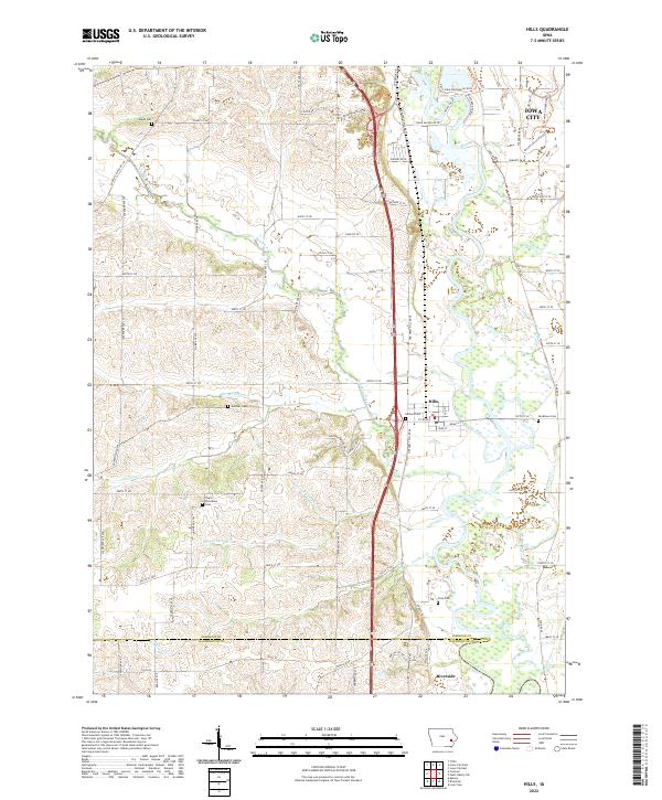 2022 Hills2022 Print · USGSThe Iowa River valley south of Iowa City is documented here during the early twenty-first century. Genealogists and local historians can locate several rural cemeteries including Saint Stanislaus Cem, Welsh Cem, and Mentzer Cem.
 - 2022 Map of Iowa City East, 2022 Print
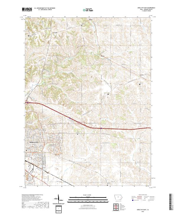 2022 Iowa City East2022 Print · USGSThe eastern edges of Iowa City and its rural Johnson County surroundings are captured in this 2022 survey. Genealogists can locate several local burial sites, including Saint Marys Cem and Morse Cem, or trace early settlements like Elmira and Oasis.
 - 2022 Map of Cedar Bluff, 2022 Print
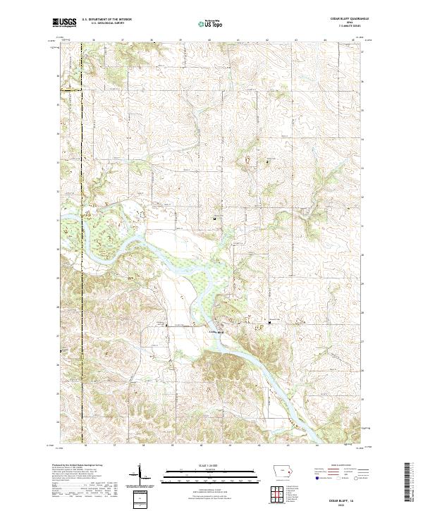 2022 Cedar Bluff2022 Print · USGSThe Cedar River valley in the early 2020s remains a landscape of traditional Iowa agriculture and rural community. Genealogists and historians can trace family roots through numerous sites like Evergreen Hill Cem, Achey Cem, and the settlement of Cedar Bluff.
 - 2022 Map of Lone Tree, 2022 Print
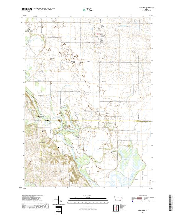 2022 Lone Tree2022 Print · USGSLone Tree and the Iowa River valley are shown here in the 2020s, revealing a landscape defined by meandering waterways and numerous family burial sites. Genealogists can locate Smith Family Cem, River Junction Cem, and Saint Pauls Cem among the rural homesteads.
 - 2022 Map of Riverside, 2022 Print
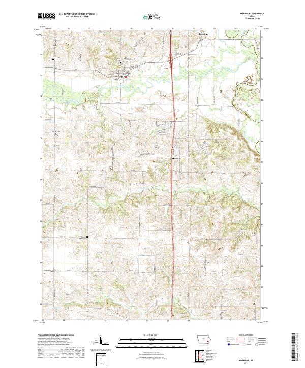 2022 Riverside2022 Print · USGSRiverside and the neighboring farmlands of Washington County are shown here as they appeared in the early twenty-first century. Genealogists can trace local lineages through a high density of burial grounds including Kupka Cem, Harrisburg Cem, and Patterson Cem.
 - 2022 Map of Swisher, 2022 Print
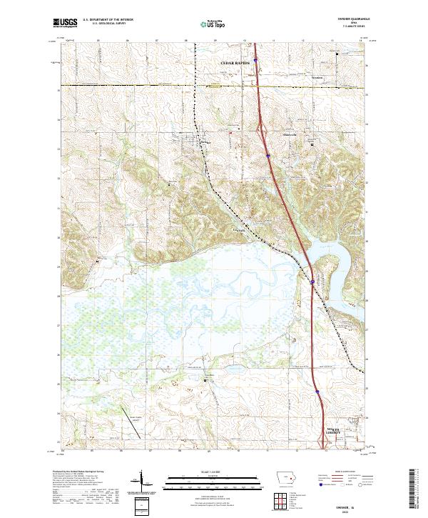 2022 Swisher2022 Print · USGSThe Johnson County countryside south of Cedar Rapids is documented here in the early twenty-first century as suburban growth meets rural farmland. Genealogists can locate several historic burial sites like Greencastle Cem and Shueyville Cem along the Iowa River valley.
 - 2022 Map of Oxford, 2022 Print
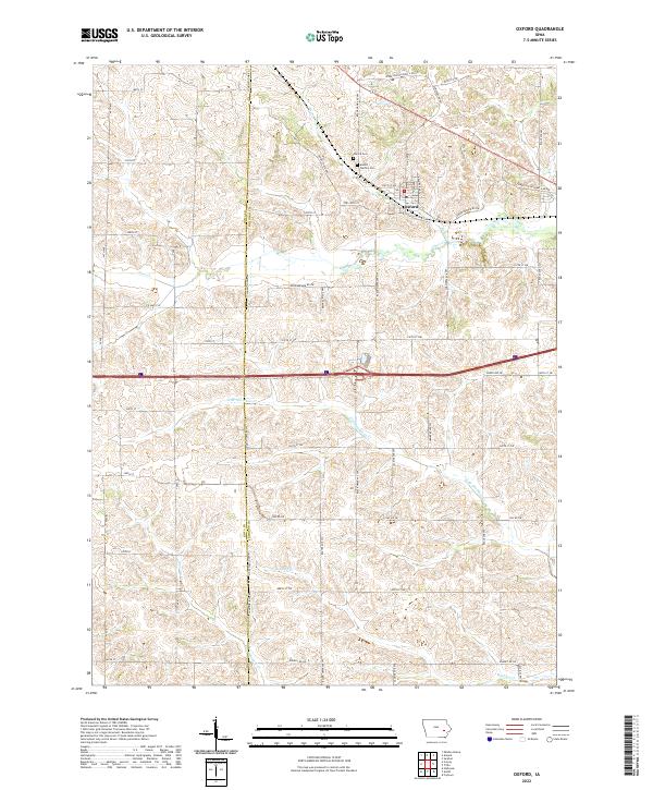 2022 Oxford2022 Print · USGSOxford and the surrounding Johnson County farmland appear in this modern survey during a period of continued rural stability. Researchers can trace family sites near Oxford Cem, follow the historic path of Upper Old Highway 6 Rd NW, or map the drainages of Clear Cr and Bradley Cr.
 - 2022 Map of Solon, 2022 Print
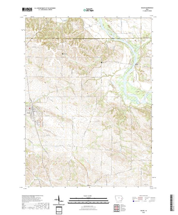 2022 Solon2022 Print · USGSJohnson County's eastern landscape is documented here in the early twenty-first century as the Cedar River valley continues its long history of settlement. Genealogists and local historians can trace family plots at Saints Peter and Paul Cem or explore the corridor of the Hoover Nature Trl.
 - 2022 Map of Frytown, 2022 Print
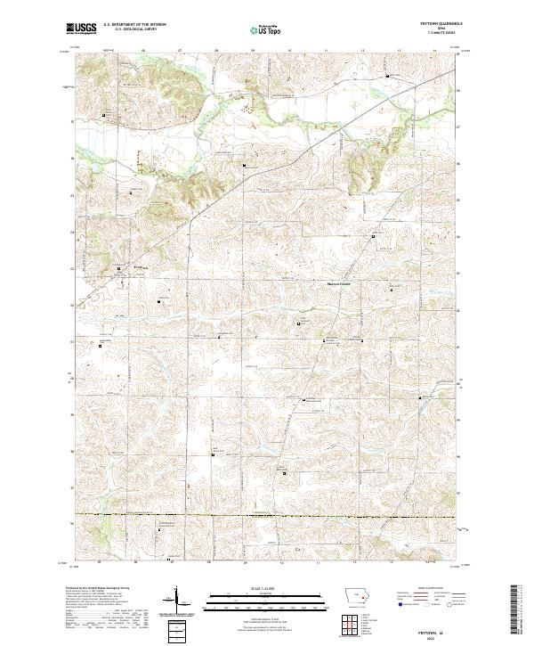 2022 Frytown2022 Print · USGSThe rural township borders of Johnson and Washington counties come into focus in the early 2020s, showing a landscape defined by agrarian heritage. Family historians can trace numerous burial sites like John Helmuth Cem and Yoder Cem near Sharon Center.
 - 2022 Map of Nichols, 2022 Print
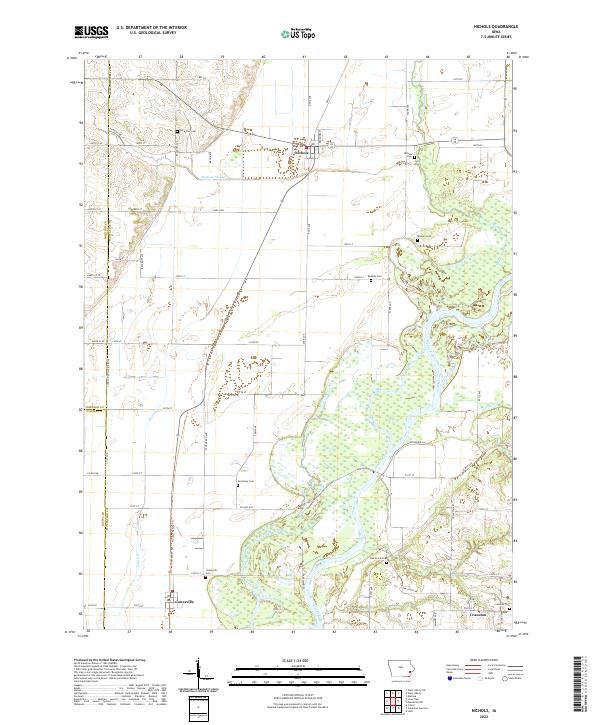 2022 Nichols2022 Print · USGSMuscatine County's river valleys and rural townships are captured in this recent survey of the Cedar River basin. Genealogists and local historians can trace family plots at Nichols Cemetery, Brockway Cemetery, and Oak Grove Cemetery.
 - 2022 Map of Ely, 2022 Print
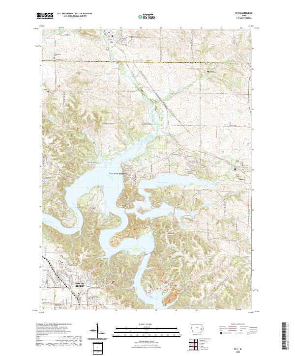 2022 Ely2022 Print · USGSThe corridor between Linn and Johnson County shows significant development and water recreation in this contemporary survey. Family historians can trace numerous rural burial grounds such as Sulek Cem and Oakland Cem or explore the shores of Lake McBride.
 - 2022 Map of Tiffin, 2022 Print
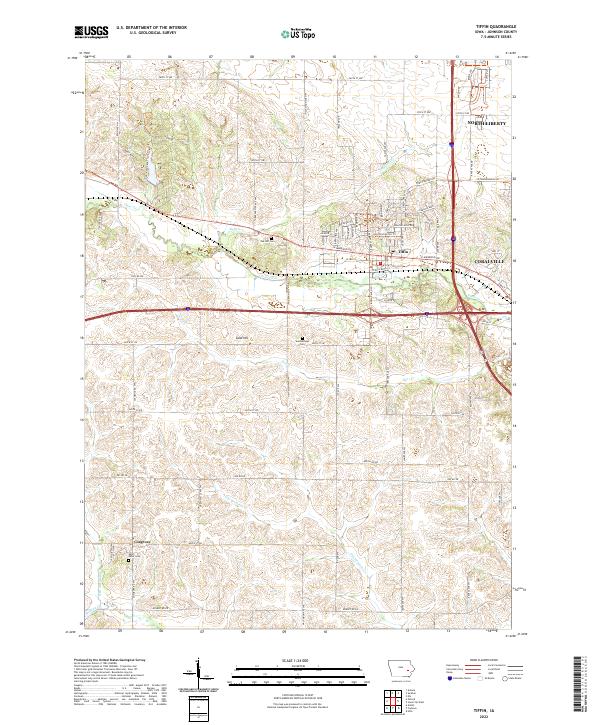 2022 Tiffin2022 Print · USGSThis Johnson County survey captures the modern expansion around Tiffin and North Liberty during the early twenty-first century. Researchers can trace historic burial sites like Summerhays Cem and local landmarks such as Sand Hill and Kent Park.
 - 2022 Map of West Liberty, 2022 Print
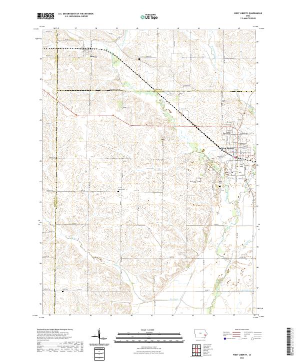 2022 West Liberty2022 Print · USGSThe rural borderlands of Muscatine, Cedar, and Johnson counties are captured here in the early twenty-first century. Genealogists can trace family connections through numerous local burial sites like North Prairie Cem, Lenz Cem, and Downey Cem.
 - 2022 Map of Amana, 2022 Print
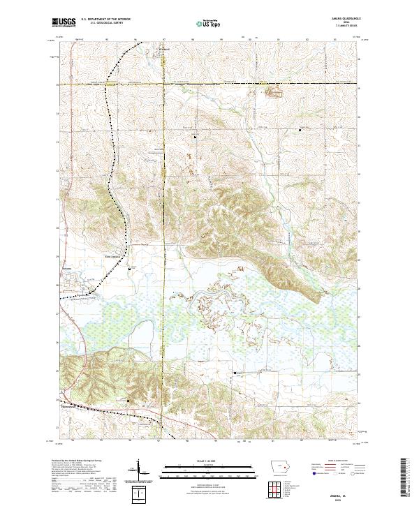 2022 Amana2022 Print · USGSThe Amana Colonies and the Iowa River valley are shown in detail here during the early 2020s. Genealogists can locate several local burial sites like Hala Cem and Castek Cem tucked among the fields near Walford and Rich Field.
 - 2022 Map of West Branch, 2022 Print
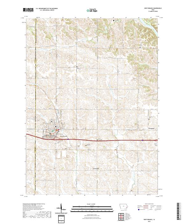 2022 West Branch2022 Print · USGSWest Branch and the surrounding Cedar County farmland are shown here in the early twenty-first century. Genealogists can locate numerous local burial sites like Honey Grove Cem and the Gravesite of President and Mrs Hoover.
End of results
Showing maps 1-18 of 18
Top cities of Johnson County
- Iowa City historical maps
- Coralville historical maps
- North Liberty historical maps
- Tiffin historical maps
- Solon historical maps
- Lone Tree historical maps
See more
Frequently asked questions
- What are the different types of historical maps available for Johnson County?
- What is the oldest map of Johnson County?
- Where can I purchase historical maps of Johnson County for my home or office?
- Where can I download high-res historical maps of Johnson County?
- Are there historical topographic maps available for Johnson County?
- Is there historical aerial imagery available for Johnson County?
- Where are historical maps of Johnson County sourced from?