2000s (21st Century) Maps of Anamosa, Iowa
Explore 15 historic maps of Anamosa from the 2000s (21st Century). These maps offer a rare glimpse into what life looked like during the 2000s — showing old roads, neighborhoods, homes, and landmarks that have changed or disappeared over time.
Whether you're researching your family's past, planning a metal detecting trip, or studying how Anamosa's landscape evolved across the 2000s, these high-resolution maps are a powerful tool for exploring the history of this region.
- Focus on a specific era: All maps on this page are from the 2000s, giving you a focused view of this time period.
- See what’s changed: Compare century-old streets, trails, and buildings to today's modern landscape using overlays and satellite layers.
- Research with precision: Use these maps for genealogy, historical research, land use analysis, or educational projects.
- View, download, or print: Maps are fully viewable online in high resolution, and can be downloaded or printed for your own records.
Start exploring Anamosa's history through authentic maps from the 2000s. This is your window into the past.
Anamosa, IA maps
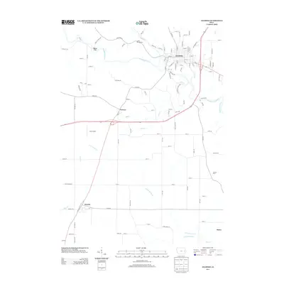
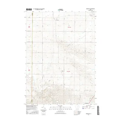
(15)- 2010 Map of Anamosa, 2010 Print
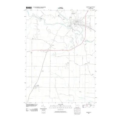 2010 Anamosa2010 Print · USGSCovers Anamosa, including Martelle, Stone City, and other nearby areas
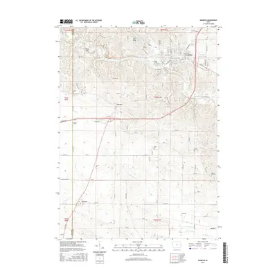
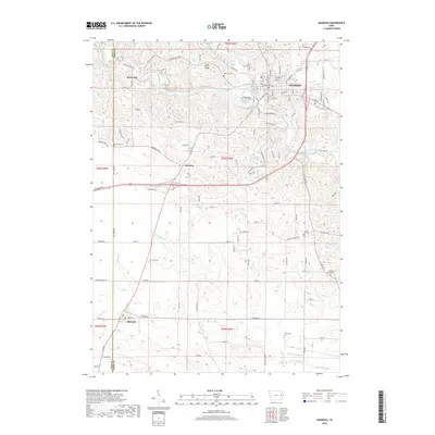
 - 2010 Map of Anamosa NE, 2010 Print
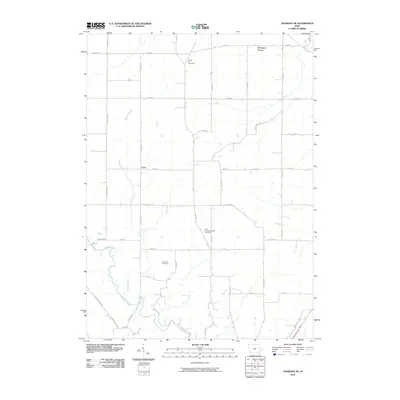 2010 Anamosa NE2010 Print · USGSCovers Anamosa, including Downers Grove, Cass, and other nearby areas
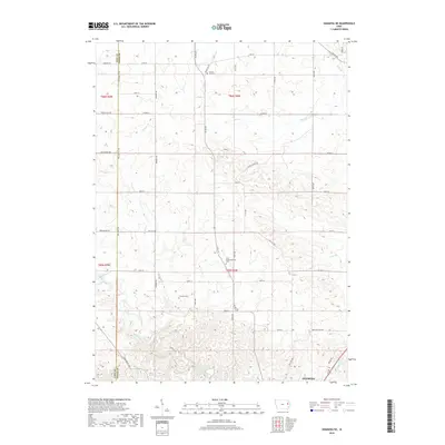
 - 2010 Map of Morley, 2010 Print
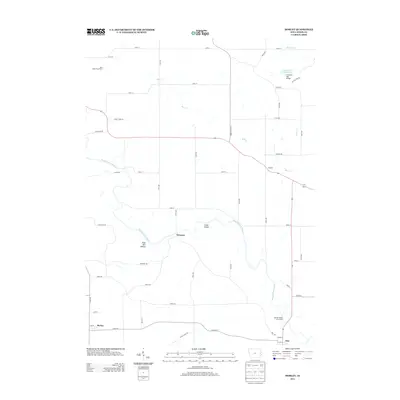
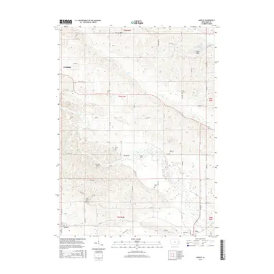
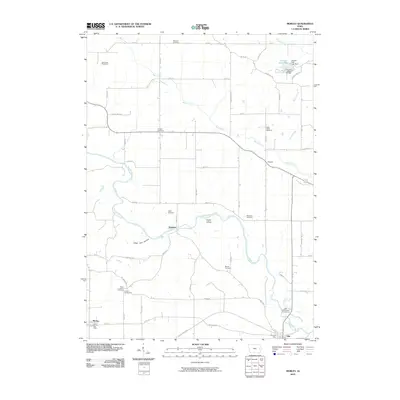 2010 Morley2010 Print · USGSCovers Anamosa, including Olin, Morley, and other nearby areas
 - 2013 Map of Anamosa NE, 2013 Print
 2013 Anamosa NE2013 Print · USGSCovers Anamosa, including Downers Grove, Cass, and other nearby areas
 - 2013 Map of Anamosa, 2013 Print
 2013 Anamosa2013 Print · USGSCovers Anamosa, including Martelle, Stone City, and other nearby areas
 - 2013 Map of Morley, 2013 Print
 2013 Morley2013 Print · USGSCovers Anamosa, including Olin, Morley, and other nearby areas
 - 2015 Map of Anamosa, 2015 Print
 2015 Anamosa2015 Print · USGSCovers Anamosa, including Martelle, Stone City, and other nearby areas
 - 2015 Map of Morley, 2015 Print
 2015 Morley2015 Print · USGSCovers Anamosa, including Olin, Morley, and other nearby areas
 - 2015 Map of Anamosa NE, 2015 Print
 2015 Anamosa NE2015 Print · USGSCovers Anamosa, including Downers Grove, Cass, and other nearby areas
 - 2018 Map of Anamosa, 2018 Print
 2018 Anamosa2018 Print · USGSCovers Anamosa, including Martelle, Stone City, and other nearby areas
 - 2018 Map of Anamosa NE, 2018 Print
 2018 Anamosa NE2018 Print · USGSCovers Anamosa, including Downers Grove, Cass, and other nearby areas
 - 2018 Map of Morley, 2018 Print
 2018 Morley2018 Print · USGSCovers Anamosa, including Olin, Morley, and other nearby areas
 - 2022 Map of Anamosa NE, 2022 Print
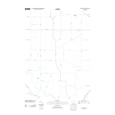
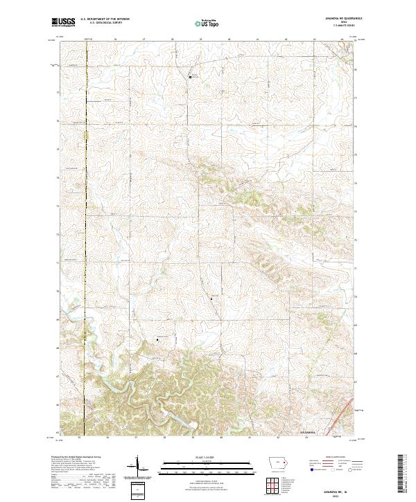 2022 Anamosa NE2022 Print · USGSJones County's rural landscape is captured here in the contemporary era, showing the northern reaches of the seat at Anamosa. Genealogists can locate family burial plots at Prairie Hill Cem, Cass Cem, or Fremont Cem along the creek valleys.
 - 2022 Map of Anamosa, 2022 Print
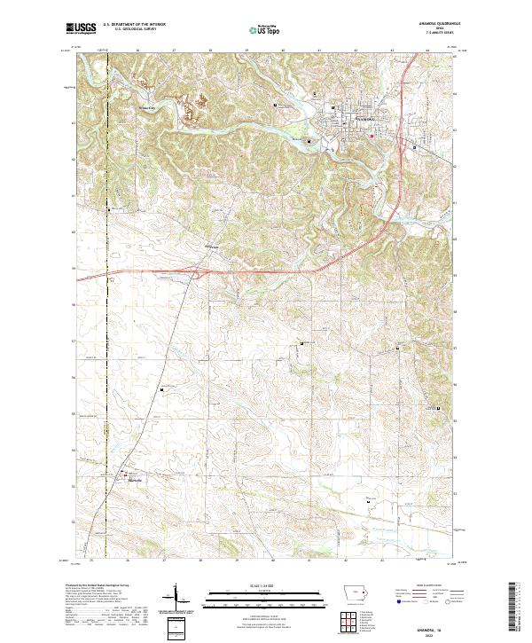 2022 Anamosa2022 Print · USGSThe Wapsipinicon River valley in Jones County comes into focus in this recent survey of eastern Iowa. Genealogists and historians can locate legacy sites like Stone City, the Anamosa State Penitentiary Cem, and Wilcox Cem.
 - 2022 Map of Morley, 2022 Print
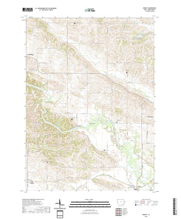 2022 Morley2022 Print · USGSJones County at the start of the 2020s shows a landscape defined by the winding Wapsipinicon River and its rural settlements. Researchers can trace old family roots through numerous burial sites like Merritt Cem and Grafft Cem or explore the river terrain around Cedar Island.
End of results
Showing maps 1-15 of 15
Top cities near Anamosa
- Mount Vernon historical maps
- Monticello historical maps
- Lisbon historical maps
- Springville historical maps
- Clarence historical maps
- Mechanicsville historical maps
See more
Frequently asked questions
- What are the different types of historical maps available for Anamosa?
- What is the oldest map of Anamosa?
- Where can I purchase historical maps of Anamosa for my home or office?
- Where can I download high-res historical maps of Anamosa?
- Are there historical topographic maps available for Anamosa?
- Is there historical aerial imagery available for Anamosa?
- Where are historical maps of Anamosa sourced from?