Old Maps of Anamosa, Iowa for Metal Detecting
Plan your next treasure hunt with 26 historic maps of Anamosa. Find old homesites, ghost towns, trails, and gathering spots that may be lost to time — perfect for identifying promising metal detecting locations.
- Locate forgotten sites: Uncover places like long-lost settlements, abandoned rail lines, or gathering spots.
- Plan better hunts: Use map overlays combined with LiDAR or satellite views to narrow in on historically rich areas.
- Made for detectorists: Thousands of hobbyists use these maps to discover relics, coins, and hidden history.
Use these historic maps to boost your research and find new opportunities beneath the surface of Anamosa.
Anamosa, IA maps
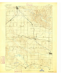
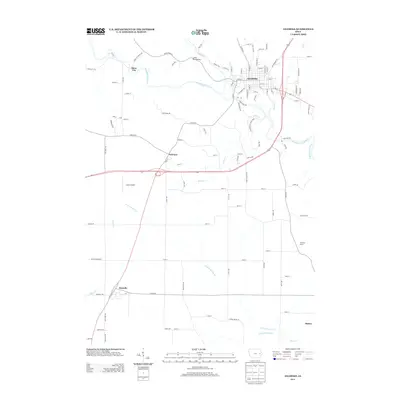
(26)- 1890 Map of Anamosa
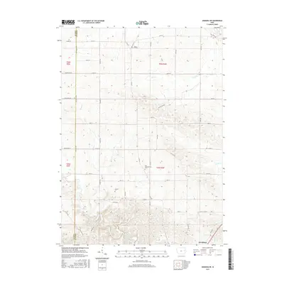
 1890 Anamosa1890 Print · USGSEastern Iowa was a landscape defined by river valleys and expanding rail lines in the 1890s. Genealogists can trace family roots through early settlements like Anamosa, Springville, and Viola along the Chicago Milwaukee and St. Paul Railroad.2 unique versions available
 - 1891 Map of Monticello
 1891 Monticello1891 Print · USGSJones County at the peak of the rail era shows a landscape organized by iron rails and river bends. Trace the junctions and early plats of Monticello, Center Junction, and Wyoming along the Chicago and North Western Railroad.3 unique versions available
 - 1900 Map of Anamosa
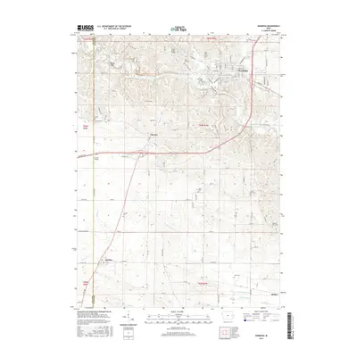
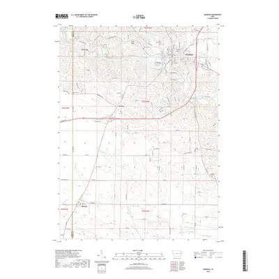
 1900 Anamosa1900 Print · USGSEastern Iowa is shown here during the peak of its rail-driven development at the end of the century. Genealogists and historians can trace the early layouts of Anamosa and Monticello or locate smaller settlements like Sand Spring and Rockville.4 unique versions available
 - 1959 Map of Dubuque, 1982 Print
 1959 Dubuque1982 Print · USGSThe Tri-State region comes alive in the mid-twentieth century as a hub of river commerce and rail transit. Genealogists and historians can trace the paths of the Illinois Central Gulf through Dubuque or locate the Savanna Ordnance Depot and Lock and Dam No 11.
 - 1961 Map of Dubuque
 1961 Dubuque1961 Print · USGSThe Tri-State region's river-and-rail landscape is captured here during the early sixties, showing the convergence of Iowa, Illinois, and Wisconsin. Trace mid-century rail lines like the Chicago Great Western Ry and explore sites like the Savanna Ordnance Depot and Backbone State Park.
 - 1962 Map of Dubuque
 1962 Dubuque1962 Print · USGSThe Tri-State region's river-and-rail economy is captured here in the early sixties, centered on the Mississippi River bluffs. Genealogists and historians can locate Numerous lead and zinc mines, the New Melleray Abbey Monastery, and rural hubs like Saint Olaf.2 unique versions available
 - 1973 Map of Anamosa, 1977 Print
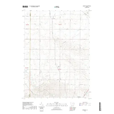
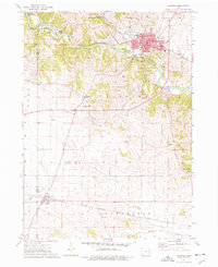 1973 Anamosa1977 Print · USGSAnamosa and the Wapsipinicon River valley are shown here in the early 1970s, during a period defined by both institutional growth and historic limestone industry. Genealogists and local historians can locate Stone City quarries, the State Reformatory, and rural sites like Forest Chapel or Boot Hill Cem.
 - 1973 Map of Anamosa NE, 1977 Print
 1973 Anamosa NE1977 Print · USGSJones County's rural townships and stream valleys are captured here in the early seventies, showing a landscape shaped by rail and agriculture. Genealogists can locate family sites near SS Peter & Paul Ch, Prairie Hill Cem, and the State Penal Farm.
 - 1976 Map of Dubuque
 1976 Dubuque1976 Print · USGSThe tri-state borderlands of Iowa, Wisconsin, and Illinois come alive during the mid-seventies, showing a region built on river commerce and mining. Genealogists and historians can trace the paths of the Illinois Central railroad or locate heritage sites like the New Melleray Abbey Monastery and Backbone State Park.
 - 1980 Map of Morley, 1981 Print
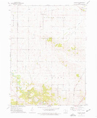
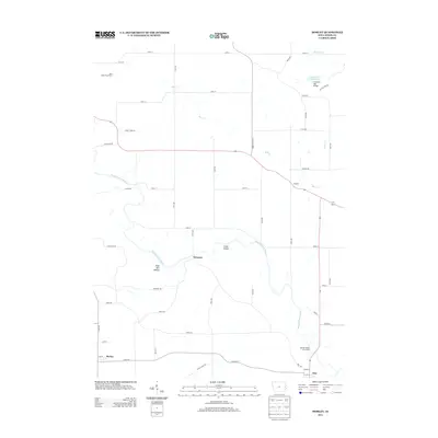
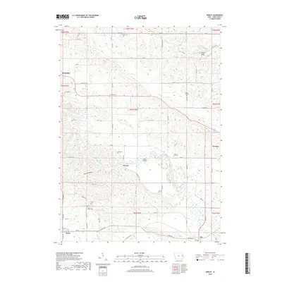
 1980 Morley1981 Print · USGSThe Wapsipinicon River valley in Jones County is captured here in the early eighties, as rail lines still connected the river towns. Researchers can locate the State Penal Farm, Antioch Church, and several rural burial grounds like Graffit Cemetery.
 - 1984 Map of Anamosa, 1985 Print
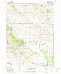
 1984 Anamosa1985 Print · USGSEastern Iowa's river valleys and farming communities are captured here in the mid-eighties, showing a landscape defined by the Wapsipinicon River and Maquoketa River. Genealogists and historians can locate legacy landmarks like the Independence State Hospital, Ebys Mill, and the State Penal Farm.2 unique versions available
 - 2010 Map of Anamosa, 2010 Print
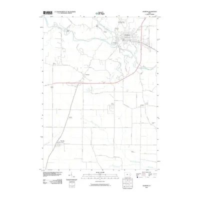 2010 Anamosa2010 Print · USGSCovers Anamosa, including Martelle, Stone City, and other nearby areas
 - 2010 Map of Anamosa NE, 2010 Print
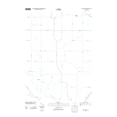
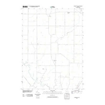 2010 Anamosa NE2010 Print · USGSCovers Anamosa, including Downers Grove, Cass, and other nearby areas
 - 2010 Map of Morley, 2010 Print
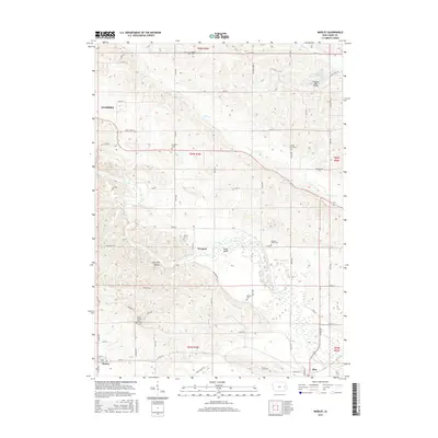
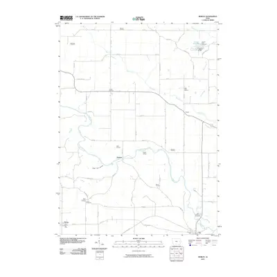 2010 Morley2010 Print · USGSCovers Anamosa, including Olin, Morley, and other nearby areas
 - 2013 Map of Anamosa NE, 2013 Print
 2013 Anamosa NE2013 Print · USGSCovers Anamosa, including Downers Grove, Cass, and other nearby areas
 - 2013 Map of Anamosa, 2013 Print
 2013 Anamosa2013 Print · USGSCovers Anamosa, including Martelle, Stone City, and other nearby areas
 - 2013 Map of Morley, 2013 Print
 2013 Morley2013 Print · USGSCovers Anamosa, including Olin, Morley, and other nearby areas
 - 2015 Map of Anamosa, 2015 Print
 2015 Anamosa2015 Print · USGSCovers Anamosa, including Martelle, Stone City, and other nearby areas
 - 2015 Map of Morley, 2015 Print
 2015 Morley2015 Print · USGSCovers Anamosa, including Olin, Morley, and other nearby areas
 - 2015 Map of Anamosa NE, 2015 Print
 2015 Anamosa NE2015 Print · USGSCovers Anamosa, including Downers Grove, Cass, and other nearby areas
 - 2018 Map of Anamosa, 2018 Print
 2018 Anamosa2018 Print · USGSCovers Anamosa, including Martelle, Stone City, and other nearby areas
 - 2018 Map of Anamosa NE, 2018 Print
 2018 Anamosa NE2018 Print · USGSCovers Anamosa, including Downers Grove, Cass, and other nearby areas
 - 2018 Map of Morley, 2018 Print
 2018 Morley2018 Print · USGSCovers Anamosa, including Olin, Morley, and other nearby areas
 - 2022 Map of Anamosa NE, 2022 Print
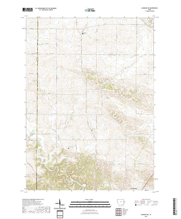 2022 Anamosa NE2022 Print · USGSJones County's rural landscape is captured here in the contemporary era, showing the northern reaches of the seat at Anamosa. Genealogists can locate family burial plots at Prairie Hill Cem, Cass Cem, or Fremont Cem along the creek valleys.
 - 2022 Map of Anamosa, 2022 Print
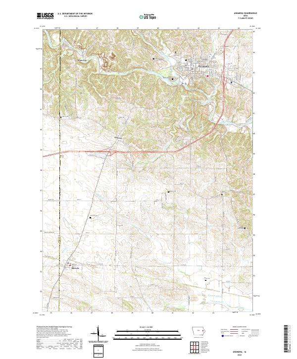 2022 Anamosa2022 Print · USGSThe Wapsipinicon River valley in Jones County comes into focus in this recent survey of eastern Iowa. Genealogists and historians can locate legacy sites like Stone City, the Anamosa State Penitentiary Cem, and Wilcox Cem.
Showing maps 1-25 of 26
Top cities near Anamosa
- Mount Vernon historical maps
- Monticello historical maps
- Lisbon historical maps
- Springville historical maps
- Clarence historical maps
- Mechanicsville historical maps
See more
Frequently asked questions
- What are the different types of historical maps available for Anamosa?
- What is the oldest map of Anamosa?
- Where can I purchase historical maps of Anamosa for my home or office?
- Where can I download high-res historical maps of Anamosa?
- Are there historical topographic maps available for Anamosa?
- Is there historical aerial imagery available for Anamosa?
- Where are historical maps of Anamosa sourced from?