Old Maps of Marshalltown, Iowa for Genealogy
Trace your family roots with 27 historic maps of Marshalltown. These high-res maps reveal old neighborhoods, homesites, landmarks, and streets — helping you uncover where your ancestors lived and how the area evolved over time.
- Explore historic neighborhoods: Identify where your relatives may have lived in the 1800s or 1900s.
- Compare maps over time: Trace the changes in streets, buildings, and landmarks for multi-generational research.
- Perfect for genealogy & ancestry research: Used by family historians and researchers to map out lineage and migration.
These maps are an incredible resource for exploring your personal connection to Marshalltown's past.
Marshalltown, IA maps
(27)- 1954 Map of Waterloo, 1968 Print
 1954 Waterloo1968 Print · USGSCentral Iowa at the height of its mid-century agricultural and rail boom features the growing hubs of Waterloo and Cedar Falls. Genealogists and researchers can trace the rail corridors of the Chicago Great Western and find local landmarks like Iowa State College and Brushy Ridge.4 unique versions available
 - 1954 Map of Des Moines, 1973 Print
 1954 Des Moines1973 Print · USGSCentral Iowa's evolving landscape is captured here in the early seventies, just as major reservoirs were reshaping the river valleys. Genealogists and historians can trace the rail corridors of the Burlington Northern or locate family roots near Pella, Indianola, and Knoxville.2 unique versions available
 - 1955 Map of Waterloo
 1955 Waterloo1955 Print · USGSCentral Iowa in the mid-fifties presents a dense landscape of rail-connected farming towns and growing river cities. Researchers can trace ancestral roots and old transport routes through Waterloo, Marshalltown, and Ames, while locating rural Cemeteries and local Quarries.2 unique versions available
 - 1956 Map of Des Moines
 1956 Des Moines1956 Print · USGSCentral Iowa in the mid-fifties shows a landscape defined by bustling rail hubs and deep-rooted agricultural research. Genealogists and researchers can trace the growth of Des Moines and Ames, locate the Sac and Fox Indian Reservation, or study the paths of the Skunk River and South Skunk River.
 - 1957 Map of Des Moines
 1957 Des Moines1957 Print · USGSCentral Iowa's post-war landscape is defined here by the converging rail lines and river valleys that shaped its earliest settlements. Genealogists and historians can trace the paths of the Rock Island Railroad and locate community landmarks in Des Moines, Ames, and Newton.
 - 1960 Map of Marshalltown, 1962 Print
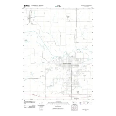
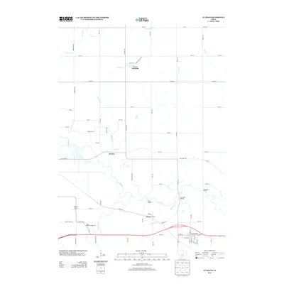
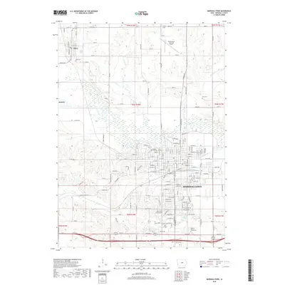
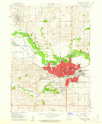 1960 Marshalltown1962 Print · USGSMarshalltown at the dawn of the sixties shows a thriving central Iowa hub defined by its river and rail connections. Genealogists and historians can trace neighborhood developments near Riverside Cemetery or locate family schools like Woodbury Sch and Glick Sch.2 unique versions available
 - 1960 Map of Marshalltown, 1962 Print
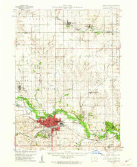 1960 Marshalltown1962 Print · USGSIn the early 1960s, Marshalltown stood as a bustling rail and manufacturing center along the Iowa River. Genealogists can trace family names through several historic sites, including Riverside Cem, Rose Hill Memorial Gardens, and the rural Prairieville Cem.2 unique versions available
 - 1960 Map of Le Grand, 1962 Print
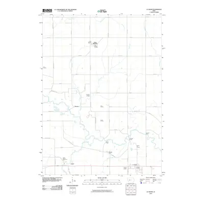
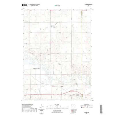
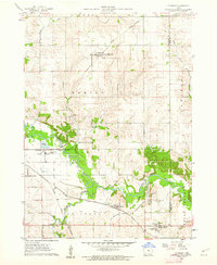 1960 Le Grand1962 Print · USGSMarshall County farm country and the industrial river valley are captured here in the early sixties. Researchers can trace the dual rail lines of the Chicago Great Western and the Chicago and North Western or locate family plots at Rock Valley Cem and Pleasant Hill Cem.2 unique versions available
 - 1969 Map of Des Moines
 1969 Des Moines1969 Print · USGSCentral Iowa's fertile plains and growing capital are captured here during the late sixties, a time of major highway expansion and reservoir construction. Genealogists and researchers can trace rural township boundaries, local cemeteries, and rail lines serving towns like Pella, Grinnell, and Oskaloosa.
 - 1980 Map of Laurel
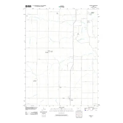
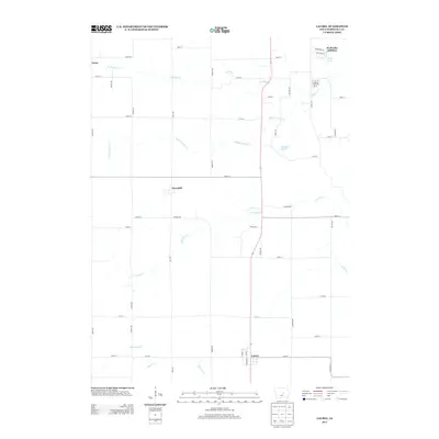
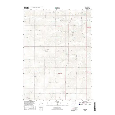
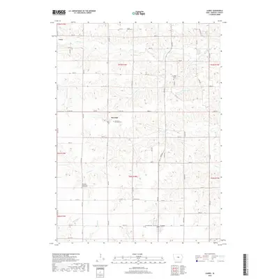
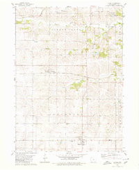 1980 Laurel1980 Print · USGSMarshall County's rural townships are captured in the late twentieth century, showing a landscape of established farmsteads and shifting rail corridors. Genealogists can locate numerous historic burial sites and churches like Center School Cem, Graceland Cem, and the Church of the Bible Covenant.
 - 1984 Map of Marshalltown, 1985 Print
 1984 Marshalltown1985 Print · USGSMid-Iowa's agricultural landscape and river corridors come alive in the mid-eighties as the Cedar River connects industrial hubs and small farm towns. Trace the tracks of the CHICAGO AND NORTHWESTERN or locate local landmarks like Union Grove State Park and Cedar Falls Junction.2 unique versions available
 - 1984 Map of Grinnell, 1985 Print
 1984 Grinnell1985 Print · USGSCentral Iowa's prairie towns and rail corridors are captured in the mid-1980s, showcasing the agricultural grid and protected marshlands. Researchers can trace historic routes along the Chicago and North Western or locate family roots near the Sac and Fox Indian Reservation and Lake Ponderosa.2 unique versions available
 - 2010 Map of Marshalltown, 2010 Print
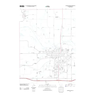
 2010 Marshalltown2010 Print · USGSCovers Marshalltown, including Albion, Iowa Township, and other nearby areas
 - 2010 Map of Le Grand, 2010 Print
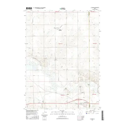
 2010 Le Grand2010 Print · USGSCovers Marshalltown, including Le Grand, Green Mountain, and other nearby areas
 - 2010 Map of Laurel, 2010 Print
 2010 Laurel2010 Print · USGSCovers Marshalltown, including Laurel, Haverhill, and other nearby areas
 - 2013 Map of Laurel, 2013 Print
 2013 Laurel2013 Print · USGSCovers Marshalltown, including Laurel, Haverhill, and other nearby areas
 - 2013 Map of Le Grand, 2013 Print
 2013 Le Grand2013 Print · USGSCovers Marshalltown, including Le Grand, Green Mountain, and other nearby areas
 - 2013 Map of Marshalltown, 2013 Print
 2013 Marshalltown2013 Print · USGSCovers Marshalltown, including Albion, Iowa Township, and other nearby areas
 - 2015 Map of Marshalltown, 2015 Print
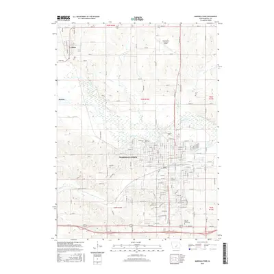 2015 Marshalltown2015 Print · USGSCovers Marshalltown, including Albion, Iowa Township, and other nearby areas
 - 2015 Map of Le Grand, 2015 Print
 2015 Le Grand2015 Print · USGSCovers Marshalltown, including Le Grand, Green Mountain, and other nearby areas
 - 2015 Map of Laurel, 2015 Print
 2015 Laurel2015 Print · USGSCovers Marshalltown, including Laurel, Haverhill, and other nearby areas
 - 2018 Map of Marshalltown, 2018 Print
 2018 Marshalltown2018 Print · USGSCovers Marshalltown, including Albion, Iowa Township, and other nearby areas
 - 2018 Map of Le Grand, 2018 Print
 2018 Le Grand2018 Print · USGSCovers Marshalltown, including Le Grand, Green Mountain, and other nearby areas
 - 2018 Map of Laurel, 2018 Print
 2018 Laurel2018 Print · USGSCovers Marshalltown, including Laurel, Haverhill, and other nearby areas
 - 2022 Map of Le Grand, 2022 Print
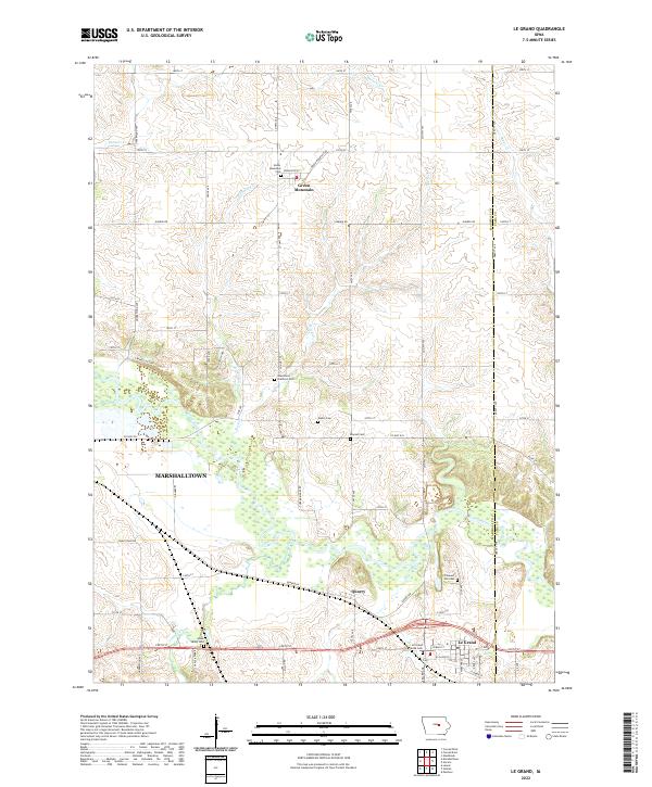 2022 Le Grand2022 Print · USGSThe Marshall County prairie comes into focus in this recent survey of the lands between Green Mountain and Le Grand. Genealogists can trace family heritage through local burial sites like Pleasant Hill Cem, Bowles Cem, and the Green Mountain Cem.
Showing maps 1-25 of 27
Top cities near Marshalltown
- Conrad historical maps
- Le Grand historical maps
- Gladbrook historical maps
- Melbourne historical maps
- Gilman historical maps
- Garwin historical maps
See more
Top neighborhoods of Marshalltown
Frequently asked questions
- What are the different types of historical maps available for Marshalltown?
- What is the oldest map of Marshalltown?
- Where can I purchase historical maps of Marshalltown for my home or office?
- Where can I download high-res historical maps of Marshalltown?
- Are there historical topographic maps available for Marshalltown?
- Is there historical aerial imagery available for Marshalltown?
- Where are historical maps of Marshalltown sourced from?