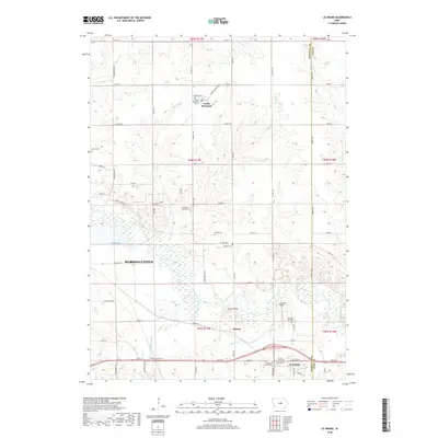
2018 Map of Le Grand
USGS Topo · Published 2018About this map
The Iowa River carves a winding path through this central Iowa landscape, defining the character of the borderlands between Marshall and Tama Counties. In the southeastern corner, the community of Le Grand sits near the riverbanks, anchored by the Le Grand Friends Cemetery and the Le Grand Bridge. To the north, the settlement of Green Mountain serves as a local hub for the surrounding agricultural grid, flanked by Burnett Creek and Nickolson Creek.
Find a feature on this map
66 named features on this map. Tap any name to fly to it.
Don’t see what you’re looking for? This feature index may not catch every label — zoom into the map to look around manually.
Map Details
Editions of this 2018 Le Grand Map
This is the sole edition of this map. No revisions or reprints were ever made.
Other maps of this area

1954 · Waterloo
USGS Topo · 1:250,000

1954 · Des Moines
USGS Topo · 1:250,000

1955 · Waterloo
USGS Topo · 1:250,000

1956 · Des Moines
USGS Topo · 1:250,000

1957 · Des Moines
USGS Topo · 1:250,000

1960 · Marshalltown
USGS Topo · 1:24,000

1960 · Marshalltown
USGS Topo · 1:62,500

1960 · Le Grand
USGS Topo · 1:24,000

1960 · Conrad West
USGS Topo · 1:24,000

1960 · Conrad East
USGS Topo · 1:24,000