Old Maps of Onawa, Iowa for Genealogy
Trace your family roots with 26 historic maps of Onawa. These high-res maps reveal old neighborhoods, homesites, landmarks, and streets — helping you uncover where your ancestors lived and how the area evolved over time.
- Explore historic neighborhoods: Identify where your relatives may have lived in the 1800s or 1900s.
- Compare maps over time: Trace the changes in streets, buildings, and landmarks for multi-generational research.
- Perfect for genealogy & ancestry research: Used by family historians and researchers to map out lineage and migration.
These maps are an incredible resource for exploring your personal connection to Onawa's past.
Onawa, IA maps
(26)- 1955 Map of Sioux City, 1959 Print
 1955 Sioux City1959 Print · USGSThe Missouri River valley in the mid-fifties is captured here during a time of major engineering and social transition. Genealogists and historians can trace the foundations of Gavins Point Dam, tribal boundaries on the Santee Sioux Indian Reservation, and local landmarks like the Norfolk State Hospital.4 unique versions available
 - 1955 Map of Fremont, 1966 Print
 1955 Fremont1966 Print · USGSEastern Nebraska and the Missouri River border are captured during the mid-fifties, just as the interstate system began to emerge. Researchers can trace the development of Omaha, locate the sprawling Offutt Air Force Base, or study the river-bound ecology of the De Soto National Wildlife Refuge.3 unique versions available
 - 1957 Map of Fremont
 1957 Fremont1957 Print · USGSEastern Nebraska and western Iowa thrive along the Platte and Missouri rivers during the mid-fifties. Genealogists can locate small rural schools like Fairview School and tracing the paths of the Union Pacific through towns like Albion and Humphrey.
 - 1958 Map of Sioux City
 1958 Sioux City1958 Print · USGSThe Missouri River valley in the late fifties was a bustling intersection of tribal lands, rail corridors, and river towns. Genealogists can trace family roots through specific rural sites like Daisy Valley School, St Johns Church and School, and Yankton State Hospital.
 - 1958 Map of Fremont
 1958 Fremont1958 Print · USGSEastern Nebraska in the late fifties is captured here as a thriving corridor of river-valley commerce and rail transport. Researchers can trace the development of Omaha and Fremont or locate local landmarks like Midland College and Offutt Air Force Base.
 - 1959 Map of Sioux City
 1959 Sioux City1959 Print · USGSThe tri-state region surrounding the Missouri River is captured here in the late fifties, showing the convergence of Nebraska, South Dakota, and Iowa. Researchers can trace rural lineages through numerous country schoolhouses like Cemetery School and the many numbered Washington School districts.
 - 1969 Map of Onawa, 1971 Print
 1969 Onawa1971 Print · USGSOnawa and the surrounding Monona County flatlands are shown in the late sixties as a landscape defined by industrial-scale drainage and rail transit. Genealogists and local historians can trace the town's footprint from the West Monona Sch to the Cemetery and the small siding at Kennebec.
 - 1969 Map of Onawa SW, 1971 Print
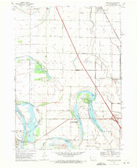 1969 Onawa SW1971 Print · USGSThe Missouri River bottoms at the close of the 1960s reveal a landscape of managed wetlands and vital river crossings. Researchers can trace the Chicago and North Western rail line near Whiting or locate Harrison Cem and Nebowa Camp.
 - 1970 Map of Blencoe, 1972 Print
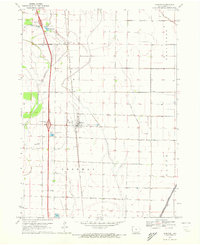 1970 Blencoe1972 Print · USGSMonona County agriculture was at its peak in the early seventies, defined by a massive network of irrigation and drainage canals. Trace the paths of the Chicago and North Western rail line and local landmarks like Graceland Cem and Creswell Landing Strip.
 - 1986 Map of Sioux City South
 1986 Sioux City South1986 Print · USGSThe tri-state borderlands of Iowa, Nebraska, and South Dakota come into focus in the mid-1980s as a landscape of tribal lands and rail corridors. Researchers can trace the extensive boundaries of the Winnebago Indian Reservation and find local landmarks like Morningside College and Martin Field.2 unique versions available
 - 1986 Map of Blair
 1986 Blair1986 Print · USGSEastern Nebraska and the Iowa borderlands are captured here in the mid-eighties, showing the established river-and-rail network. Genealogists and historians can trace the foundations of Blair, West Point, and Tekamah, or locate smaller sites like Fontanelle and Scribner.2 unique versions available
 - 2010 Map of Onawa, 2010 Print
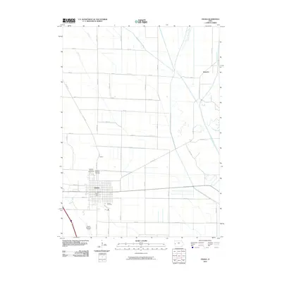 2010 Onawa2010 Print · USGSMonona County at the start of the 2010s reveals a precision-engineered agricultural landscape around the town of Onawa. Researchers can locate heritage sites like the Kiwanis Museum Complex, the Onawa Cemetery, and the small settlement of Kennebec.
 - 2010 Map of Blencoe, 2010 Print
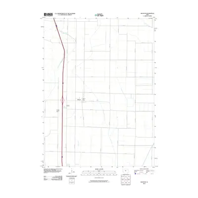 2010 Blencoe2010 Print · USGSThe Missouri River bottomlands of Monona County are captured here during a period of modern agricultural stability. Researchers can locate Blencoe civic landmarks like the Blencoe Post Office and the nearby Graceland Cemetery.
 - 2010 Map of Onawa SW, 2010 Print
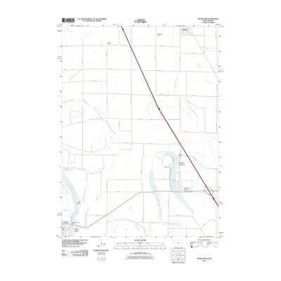 2010 Onawa SW2010 Print · USGSThe Iowa-Nebraska borderlands are defined here by the winding Missouri River and its historic oxbows at the start of the decade. Genealogists and local historians can trace family sites like Harrison Cemetery or follow the river at Tieville Bend and Decatur.
 - 2013 Map of Blencoe, 2013 Print
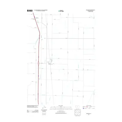 2013 Blencoe2013 Print · USGSThe Monona County prairie is seen here in the early twenty-first century as a landscape defined by industrial-scale drainage and agriculture. Researchers can trace the layout of Blencoe and examine the complex waterway systems of Fletcher Ditch and Crane Outlet.
 - 2013 Map of Onawa, 2013 Print
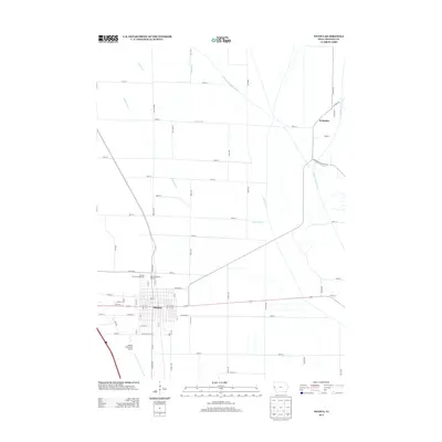 2013 Onawa2013 Print · USGSOnawa and the surrounding Monona County lowlands appear in high detail during the early twenty-first century. Genealogists and local historians can trace the street grid of Onawa, locate the Monona County Fairgrounds, and follow the Little Sioux River past Kennebec.
 - 2013 Map of Onawa SW, 2013 Print
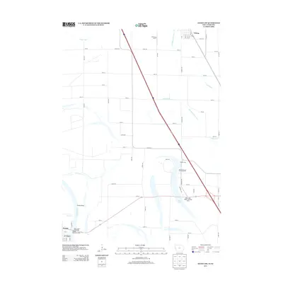 2013 Onawa SW2013 Print · USGSThe Iowa-Nebraska borderlands along the Missouri River are captured here just after the turn of the millennium. Genealogists and local historians can trace the river's many curves at Tieville Bend and explore the area around Whiting and the Burt County Toll Bridge.
 - 2015 Map of Onawa SW, 2015 Print
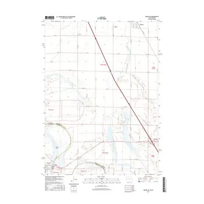 2015 Onawa SW2015 Print · USGSThe Missouri River bottomlands along the Iowa-Nebraska border are shown here in the mid-2010s, defined by its historic river bends and complex drainage. Researchers can trace land ownership and water management via labels like Blue Lake, Harrison Cem, and the McCandless Cleghorn Ditch.
 - 2015 Map of Blencoe, 2015 Print
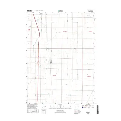 2015 Blencoe2015 Print · USGSMonona County agriculture and transit dominate this Missouri River bottomland landscape during the mid-2010s. Genealogists and local historians can trace the precise development of Blencoe and the southern approach to Onawa along the Interstate 29 corridor.
 - 2015 Map of Onawa, 2015 Print
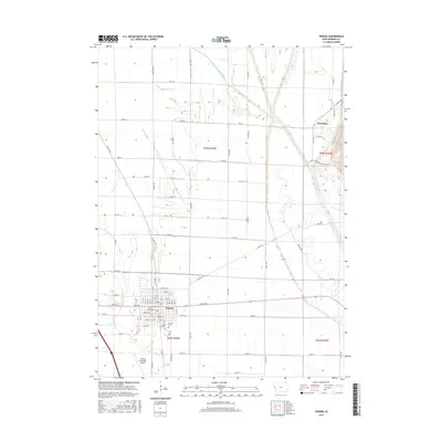 2015 Onawa2015 Print · USGSThe Missouri River valley in western Iowa is defined here by its agricultural precision and drainage networks during the mid-2010s. Genealogists and local historians can map the streets of Onawa, locate Onawa Cem, and trace the winding Little Sioux River near Kennebec.
 - 2018 Map of Onawa SW, 2018 Print
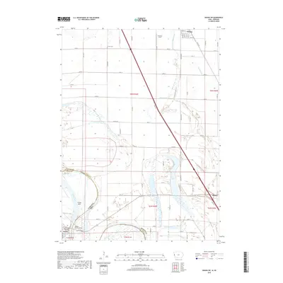 2018 Onawa SW2018 Print · USGSThe Missouri River floodplain comes into focus in this late 2010s survey of the Iowa-Nebraska border. Local researchers can trace the intricate drainage of Blue Lake and locate rural landmarks such as Harrison Cem and the B-8 Farms Airport.
 - 2018 Map of Onawa, 2018 Print
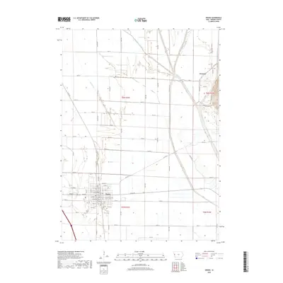 2018 Onawa2018 Print · USGSThe Monona County bottomlands appear in high detail during the 2010s, showcasing the extensive drainage networks of the Missouri River valley. Researchers can trace family history at the Onawa Cem or explore the rural landscape around Kennebec and the Little Sioux River.
 - 2018 Map of Blencoe, 2018 Print
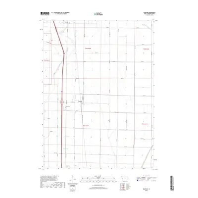 2018 Blencoe2018 Print · USGSMonona County farmland and its intricate drainage systems are captured here in the late 2010s. Researchers can locate family plots at Graceland Cem or trace the water management network from Blencoe along the Fletcher Ditch and Crane Outlet.
 - 2022 Map of Onawa, 2022 Print
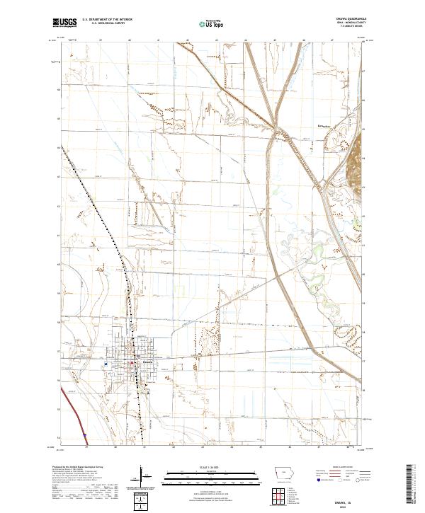 2022 Onawa2022 Print · USGSWestern Iowa's agricultural heartland is documented here in the early twenty-first century, centered on the grid of Onawa. Researchers can locate the Monona County Courthouse, trace the Little Sioux River, and find family sites at the Onawa Cem or the settlement of Kennebec.
 - 2022 Map of Blencoe, 2022 Print
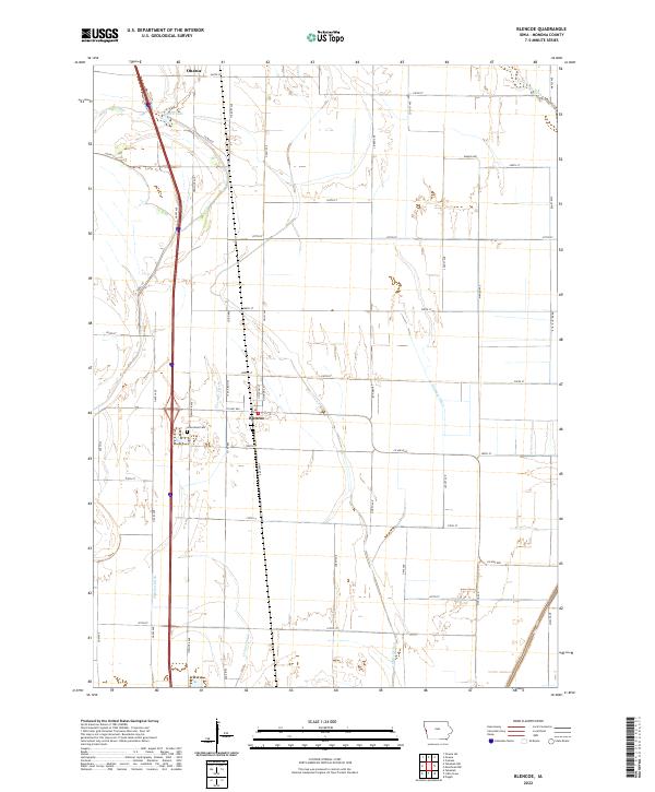 2022 Blencoe2022 Print · USGSMonona County farmland and Missouri River bottomlands are captured in this recent survey. Genealogists and local historians can trace the streets of Blencoe, find Graceland Cem, and study the extensive drainage system of Fletcher Ditch and Sherman Ditch.
Showing maps 1-25 of 26
Top cities near Onawa
- Sloan historical maps
- Whiting historical maps
- Decatur historical maps
- Arizona historical maps
- Hornick historical maps
- Pisgah historical maps
See more
Frequently asked questions
- What are the different types of historical maps available for Onawa?
- What is the oldest map of Onawa?
- Where can I purchase historical maps of Onawa for my home or office?
- Where can I download high-res historical maps of Onawa?
- Are there historical topographic maps available for Onawa?
- Is there historical aerial imagery available for Onawa?
- Where are historical maps of Onawa sourced from?