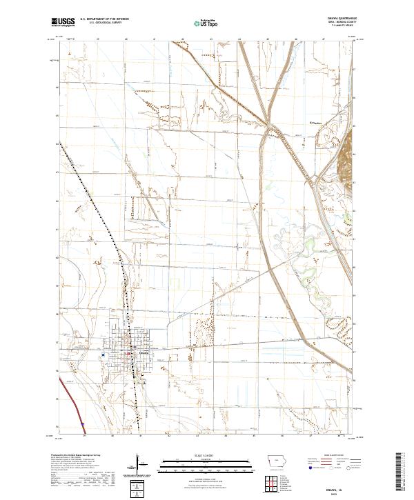
2022 Map of Onawa
USGS Topo · Published 2022About this map
Onawa serves as the focal point of this Monona County survey, where the town's street grid is anchored by the Monona County Courthouse and residential lanes named for gemstones such as Emerald St, Jasper St, and Pearl St. The surrounding landscape is defined by an intensive agricultural drainage network designed to manage the flat alluvial plains of the Missouri River valley. Significant man-made waterways, including the Garretson Outlet Ditch, Pratt Ditch, and Losey Ditch, cut across the section lines to channel water away from the fertile fields. To the northeast, the Little Sioux River meanders near the small settlement of Kennebec, while the Onawa Cem marks a point of interest for those tracing local family roots. The transition from the structured town blocks of Onawa to the wide, grid-aligned rural sections illustrates the organized development of this Western Iowa farming community.
Find a feature on this map
50 named features on this map. Tap any name to fly to it.
Don’t see what you’re looking for? This feature index may not catch every label — zoom into the map to look around manually.
Map Details
Editions of this 2022 Onawa Map
This is the sole edition of this map. No revisions or reprints were ever made.
Other maps of this area

1954 · Omaha
USGS Topo · 1:250,000

1954 · Fort Dodge
USGS Topo · 1:250,000

1955 · Sioux City
USGS Topo · 1:250,000

1955 · Fremont
USGS Topo · 1:250,000

1957 · Fremont
USGS Topo · 1:250,000

1957 · Omaha
USGS Topo · 1:250,000

1957 · Fort Dodge
USGS Topo · 1:250,000

1958 · Sioux City
USGS Topo · 1:250,000

1958 · Omaha
USGS Topo · 1:250,000

1958 · Fremont
USGS Topo · 1:250,000