2000s (21st Century) Maps of Muscatine, Iowa
Explore 27 historic maps of Muscatine from the 2000s (21st Century). These maps offer a rare glimpse into what life looked like during the 2000s — showing old roads, neighborhoods, homes, and landmarks that have changed or disappeared over time.
Whether you're researching your family's past, planning a metal detecting trip, or studying how Muscatine's landscape evolved across the 2000s, these high-resolution maps are a powerful tool for exploring the history of this region.
- Focus on a specific era: All maps on this page are from the 2000s, giving you a focused view of this time period.
- See what’s changed: Compare century-old streets, trails, and buildings to today's modern landscape using overlays and satellite layers.
- Research with precision: Use these maps for genealogy, historical research, land use analysis, or educational projects.
- View, download, or print: Maps are fully viewable online in high resolution, and can be downloaded or printed for your own records.
Start exploring Muscatine's history through authentic maps from the 2000s. This is your window into the past.
Muscatine, IA maps
(27)- 2010 Map of Muscatine NW, 2010 Print
 2010 Muscatine NW2010 Print · USGSCovers Muscatine, including Ardon, Dayfield, and other nearby areas
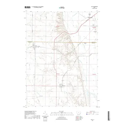
 - 2010 Map of Letts, 2010 Print
 2010 Letts2010 Print · USGSCovers Muscatine, including Fruitland, Grandview, and other nearby areas
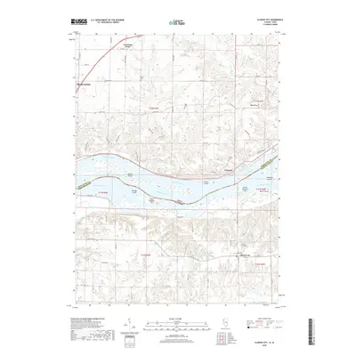
 - 2010 Map of Illinois City, 2010 Print
 2010 Illinois City2010 Print · USGSCovers Muscatine, including Sweetland Center, Illinois City, and other nearby areas
 - 2010 Map of Muscatine, 2010 Print
 2010 Muscatine2010 Print · USGSCovers Muscatine, including Rock Island County, Muscatine County, and other nearby areas
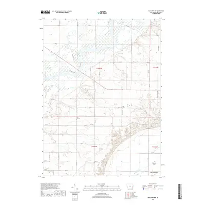
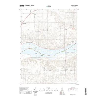
 - 2010 Map of Blanchard Island, 2010 Print
 2010 Blanchard Island2010 Print · USGSCovers Muscatine, including Fruitland, Kammerer Trailer Court, and other nearby areas
 - 2012 Map of Blanchard Island, 2012 Print
 2012 Blanchard Island2012 Print · USGSCovers Muscatine, including Fruitland, Kammerer Trailer Court, and other nearby areas
 - 2012 Map of Illinois City, 2012 Print
 2012 Illinois City2012 Print · USGSCovers Muscatine, including Sweetland Center, Illinois City, and other nearby areas
 - 2013 Map of Letts, 2013 Print
 2013 Letts2013 Print · USGSCovers Muscatine, including Fruitland, Grandview, and other nearby areas
 - 2013 Map of Muscatine NW, 2013 Print
 2013 Muscatine NW2013 Print · USGSCovers Muscatine, including Ardon, Dayfield, and other nearby areas
 - 2013 Map of Muscatine, 2013 Print
 2013 Muscatine2013 Print · USGSCovers Muscatine, including Rock Island County, Muscatine County, and other nearby areas
 - 2015 Map of Blanchard Island, 2015 Print
 2015 Blanchard Island2015 Print · USGSCovers Muscatine, including Fruitland, Kammerer Trailer Court, and other nearby areas
 - 2015 Map of Illinois City, 2015 Print
 2015 Illinois City2015 Print · USGSCovers Muscatine, including Sweetland Center, Illinois City, and other nearby areas
 - 2015 Map of Muscatine, 2015 Print
 2015 Muscatine2015 Print · USGSCovers Muscatine, including Rock Island County, Muscatine County, and other nearby areas
 - 2015 Map of Letts, 2015 Print
 2015 Letts2015 Print · USGSCovers Muscatine, including Fruitland, Grandview, and other nearby areas
 - 2015 Map of Muscatine NW, 2015 Print
 2015 Muscatine NW2015 Print · USGSCovers Muscatine, including Ardon, Dayfield, and other nearby areas
 - 2018 Map of Blanchard Island, 2018 Print
 2018 Blanchard Island2018 Print · USGSCovers Muscatine, including Fruitland, Kammerer Trailer Court, and other nearby areas
 - 2018 Map of Illinois City, 2018 Print
 2018 Illinois City2018 Print · USGSCovers Muscatine, including Sweetland Center, Illinois City, and other nearby areas
 - 2018 Map of Muscatine, 2018 Print
 2018 Muscatine2018 Print · USGSCovers Muscatine, including Rock Island County, Muscatine County, and other nearby areas
 - 2018 Map of Muscatine NW, 2018 Print
 2018 Muscatine NW2018 Print · USGSCovers Muscatine, including Ardon, Dayfield, and other nearby areas
 - 2018 Map of Letts, 2018 Print
 2018 Letts2018 Print · USGSCovers Muscatine, including Fruitland, Grandview, and other nearby areas
 - 2021 Map of Blanchard Island, 2021 Print
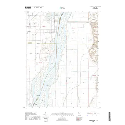
 2021 Blanchard Island2021 Print · USGSCovers Muscatine, including Fruitland, Kammerer Trailer Court, and other nearby areas
 - 2021 Map of Illinois City, 2021 Print
 2021 Illinois City2021 Print · USGSCovers Muscatine, including Sweetland Center, Illinois City, and other nearby areas
 - 2022 Map of Letts, 2022 Print
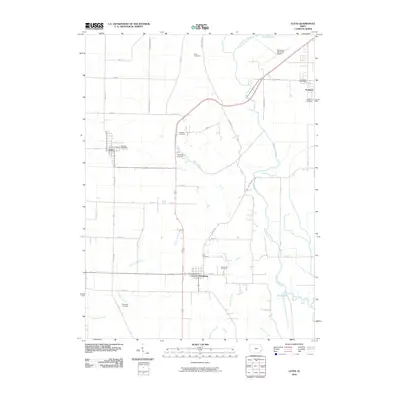
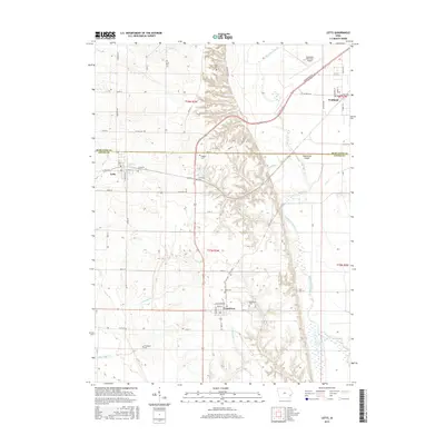
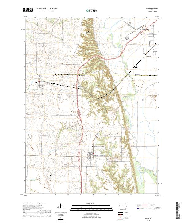 2022 Letts2022 Print · USGSAgricultural life and river-valley drainage dominate the Muscatine and Louisa county border in this modern survey. Researchers can locate numerous small burial sites like Lettsville Cem and Wier Cem or trace the path of Muscatine Slough.
 - 2022 Map of Muscatine NW, 2022 Print
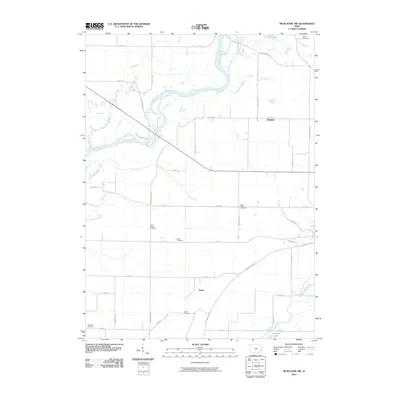
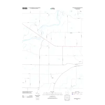
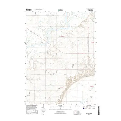
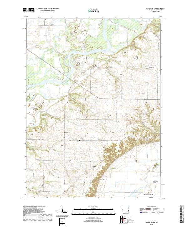 2022 Muscatine NW2022 Print · USGSThe Muscatine County countryside is shown here in the early 2020s, dominated by the winding Cedar River and the fertile lands of Muscatine Island. Genealogists can locate several local burial sites, including Ardon Cem and Saint John Cem.
 - 2022 Map of Muscatine, 2022 Print
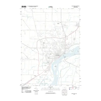
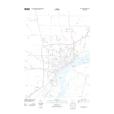
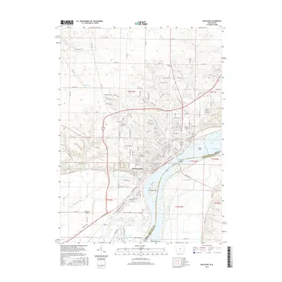
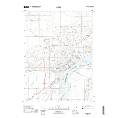
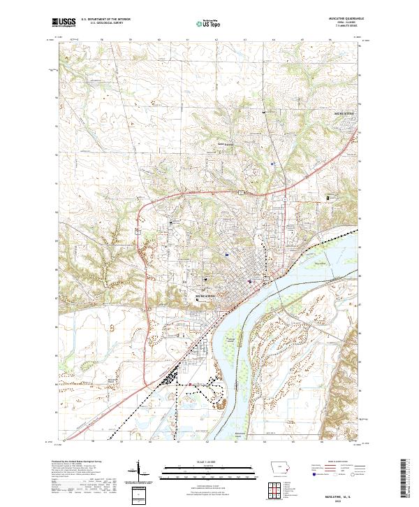 2022 Muscatine2022 Print · USGSThe riverfront city of Muscatine and its surrounding bluffs are shown here in modern detail. Genealogists and local historians can trace the locations of Greenwood Cem, Saint Mary's Cem, and the historic Muscatine County Courthouse.
Showing maps 1-25 of 27
Top cities near Muscatine
- West Liberty historical maps
- Wilton historical maps
- Durant historical maps
- Buffalo Prairie historical maps
- Fruitland historical maps
- Grandview historical maps
See more
Frequently asked questions
- What are the different types of historical maps available for Muscatine?
- What is the oldest map of Muscatine?
- Where can I purchase historical maps of Muscatine for my home or office?
- Where can I download high-res historical maps of Muscatine?
- Are there historical topographic maps available for Muscatine?
- Is there historical aerial imagery available for Muscatine?
- Where are historical maps of Muscatine sourced from?