Old Maps of Kingsley, Iowa for Hiking & Exploration
Hike through history with 10 historic maps of Kingsley. Explore old trails, ghost towns, and forgotten backroads — perfect for outdoor adventurers and local explorers.
- Rediscover forgotten places: Map out old mining camps, roads, and footpaths that no longer exist on modern maps.
- Layer with modern tools: Combine with LiDAR or satellite views to plan hikes through historical terrain.
- Made for exploration: Popular among hikers, overlanders, and local history lovers.
Use these maps to find adventure and explore the hidden past of Kingsley.
Kingsley, IA maps
(10)- 1954 Map of Fort Dodge, 1968 Print
 1954 Fort Dodge1968 Print · USGSNorthwest Iowa is shown here during a period of steady industrial and rail activity in the mid-fifties. Researchers can trace the extensive rail lines connecting Fort Dodge to mining and manufacturing sites like Gypsum and Industry Station.3 unique versions available
 - 1957 Map of Fort Dodge
 1957 Fort Dodge1957 Print · USGSWest-central Iowa thrived as a network of rail-linked agricultural hubs and river towns during the mid-fifties. Researchers can trace the development of the Des Moines River valley and locate historic landmarks in Fort Dodge, Storm Lake, and Lehigh.
 - 1958 Map of Fort Dodge
 1958 Fort Dodge1958 Print · USGSWestern Iowa in the mid-1950s reveals a productive landscape of river-valley industry and prairie agricultural hubs. Researchers can trace the development of the Des Moines River corridor through Fort Dodge and locate vanished local landmarks near Coalville or Storm Lake.
 - 1969 Map of Kingsley, 1971 Print
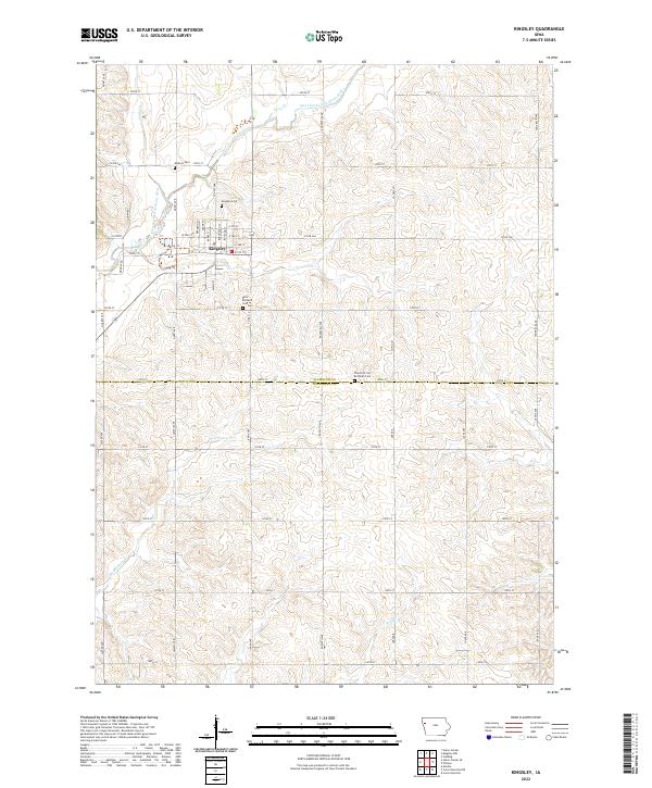
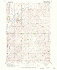 1969 Kingsley1971 Print · USGSKingsley and its surrounding townships are captured in the late sixties as the local landscape transitioned away from rail dominance. Genealogists and historians can locate Kingsley Cem, trace the Old Railroad Grade, or study the banks of the Little Sioux River.
 - 1985 Map of Storm Lake
 1985 Storm Lake1985 Print · USGSNorthwest Iowa's agricultural heartland is documented here in the mid-eighties, showing the vital rail-and-river network of the Little Sioux valley. Researchers can trace the legacy of regional hubs and smaller rail towns like Sutherland, Paullina, and Cherokee.3 unique versions available
 - 2010 Map of Kingsley, 2010 Print
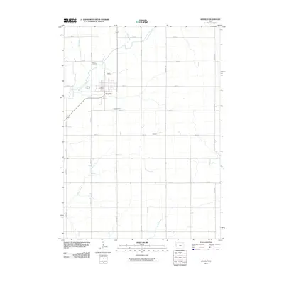 2010 Kingsley2010 Print · USGSCovers Kingsley, including Woodbury County, Plymouth County, and other nearby areas
 - 2013 Map of Kingsley, 2013 Print
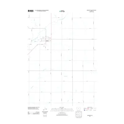 2013 Kingsley2013 Print · USGSCovers Kingsley, including Woodbury County, Plymouth County, and other nearby areas
 - 2015 Map of Kingsley, 2015 Print
 2015 Kingsley2015 Print · USGSCovers Kingsley, including Woodbury County, Plymouth County, and other nearby areas
 - 2018 Map of Kingsley, 2018 Print
 2018 Kingsley2018 Print · USGSCovers Kingsley, including Woodbury County, Plymouth County, and other nearby areas
 - 2022 Map of Kingsley, 2022 Print
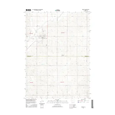
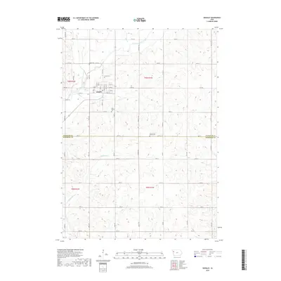
 2022 Kingsley2022 Print · USGSKingsley sits at the crossroads of Plymouth and Woodbury counties in the 2020s, showing a well-defined agricultural and residential landscape. Family historians can locate several local burial sites like Elkhorn Cem and Saint Michaels Cem near the West Fork Little Sioux River.
End of results
Showing maps 1-10 of 10
Top cities near Kingsley
- Le Mars historical maps
- Moville historical maps
- Remsen historical maps
- Marcus historical maps
- Lawton historical maps
- Correctionville historical maps
See more
Frequently asked questions
- What are the different types of historical maps available for Kingsley?
- What is the oldest map of Kingsley?
- Where can I purchase historical maps of Kingsley for my home or office?
- Where can I download high-res historical maps of Kingsley?
- Are there historical topographic maps available for Kingsley?
- Is there historical aerial imagery available for Kingsley?
- Where are historical maps of Kingsley sourced from?