Old Maps of Underwood, Iowa for Academic Research
Study the evolution of Underwood with 18 high-resolution historic maps. Whether you're teaching, researching, or modeling changes in land use, these maps provide essential visual documentation of urban, environmental, and geographic change.
- Analyze long-term change: Track patterns in development, transportation, and natural features.
- Ideal for environmental or urban studies: Support academic projects with primary historical map data.
- Use in the classroom or lab: Educators and researchers rely on these maps to bring historical context to life.
These maps are a powerful tool for teaching, research, and visualizing how Underwood has changed over the decades.
Underwood, IA maps
(18)- 1954 Map of Omaha, 1967 Print
 1954 Omaha1967 Print · USGSMid-century development radiates from the river bluffs into the agricultural heartland during this period of post-war growth. Genealogists and historians can trace rail-connected towns like Atlantic and Red Oak or locate the sprawling grounds of Offutt Air Force Base and Manawa Lake.3 unique versions available
 - 1956 Map of Underwood
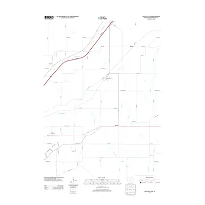
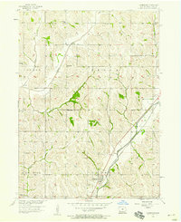 1956 Underwood1956 Print · USGSPottawattamie County in the mid-fifties is captured here as a landscape of rural school districts and diverging rail lines. Genealogists can trace family landmarks and local burial grounds like Castor Cem, or locate rural schoolhouses such as Beehive Sch and Spencer Sch.2 unique versions available
 - 1956 Map of Mc Clelland, 1958 Print
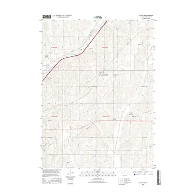
 1956 Mc Clelland1958 Print · USGSMid-century Pottawattamie County was a landscape of busy rail corridors and small farm hubs like McClelland and Weston. Researchers can trace the legacy of rural education and faith through sites like School No 3, Hardin Ch, and the Downsville Cem.3 unique versions available
 - 1957 Map of Omaha
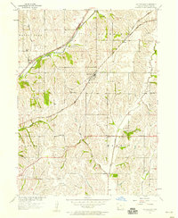
 1957 Omaha1957 Print · USGSWestern Iowa and the Missouri River valley are seen here in the mid-fifties during the height of the rail-and-road era. Researchers can trace the sprawling rail lines of the Chicago And North Western or locate Cold War landmarks like Offutt Air Force Base.
 - 1958 Map of Omaha
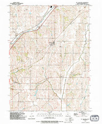
 1958 Omaha1958 Print · USGSOmaha and Council Bluffs stand at the center of this mid-fifties landscape, where the Missouri River splits the urban plains of Nebraska from the rolling hills of western Iowa. Genealogists can trace the rail lines of the Wabash RR and Illinois Central RR to rural settlements like Missouri Valley and Red Oak.2 unique versions available
 - 1985 Map of Omaha
 1985 Omaha1985 Print · USGSMid-century development and heavy rail infrastructure define the Missouri River corridor between Nebraska and Iowa. Genealogists and local historians can trace the footprints of Offutt Air Force Base, Forest Lawn Cemetery, and the Iowa School for the Deaf.2 unique versions available
 - 1994 Map of Mc Clelland
 1994 Mc Clelland1994 Print · USGSPottawattamie County's rolling farmland is mapped here in the early nineties, showing a landscape shaped by creek drainage and rural hubs. Genealogy researchers can locate the Downsville Cemetery, St Columbus Church, and the Old Railroad Grade.
 - 1994 Map of Underwood
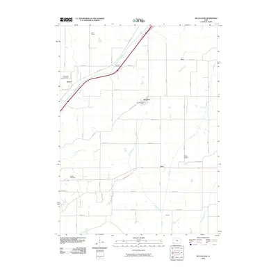
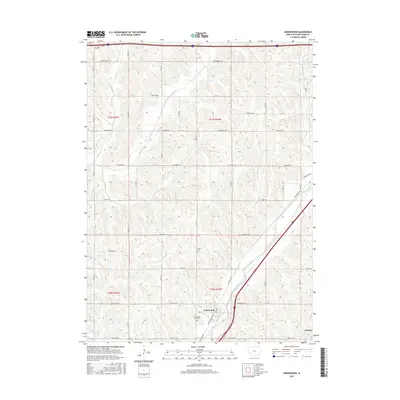
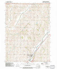 1994 Underwood1994 Print · USGSPottawattamie County in the mid-nineties shows a well-established agricultural landscape centered on the community of Underwood. Genealogists and local researchers can pinpoint Castor Cem, Fisher Cem, and the local High Sch among the winding paths of Mosquito Creek.
 - 2010 Map of McClelland, 2010 Print
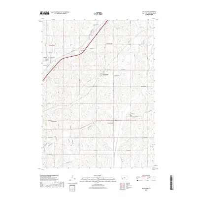
 2010 McClelland2010 Print · USGSCovers Underwood, including McClelland, Weston, and other nearby areas
 - 2010 Map of Underwood, 2010 Print
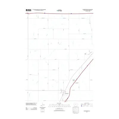
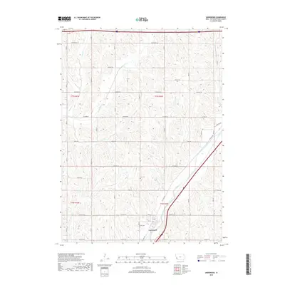
 2010 Underwood2010 Print · USGSCovers Underwood, including Pottawattamie County, United States, and other nearby areas
 - 2013 Map of Underwood, 2013 Print
 2013 Underwood2013 Print · USGSCovers Underwood, including Pottawattamie County, United States, and other nearby areas
 - 2013 Map of McClelland, 2013 Print
 2013 McClelland2013 Print · USGSCovers Underwood, including McClelland, Weston, and other nearby areas
 - 2015 Map of Underwood, 2015 Print
 2015 Underwood2015 Print · USGSCovers Underwood, including Pottawattamie County, United States, and other nearby areas
 - 2015 Map of McClelland, 2015 Print
 2015 McClelland2015 Print · USGSCovers Underwood, including McClelland, Weston, and other nearby areas
 - 2018 Map of Underwood, 2018 Print
 2018 Underwood2018 Print · USGSCovers Underwood, including Pottawattamie County, United States, and other nearby areas
 - 2018 Map of McClelland, 2018 Print
 2018 McClelland2018 Print · USGSCovers Underwood, including McClelland, Weston, and other nearby areas
 - 2022 Map of McClelland, 2022 Print
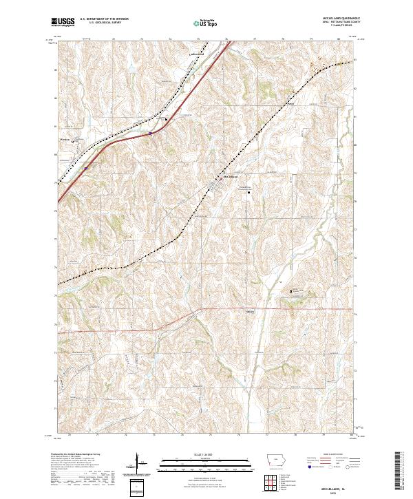 2022 McClelland2022 Print · USGSPottawattamie County’s rural landscape is captured here in the early 2020s, showing the enduring grid of the Iowa prairie. Researchers can locate family sites and local landmarks like Saint Columbanus Cem, Downsville Cem, and the path of the Railroad Hwy.
 - 2022 Map of Underwood, 2022 Print
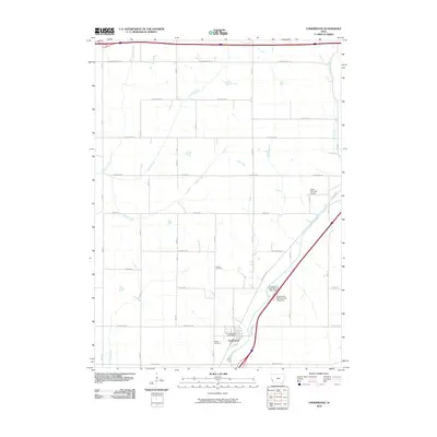
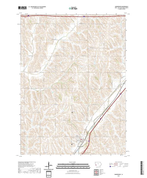 2022 Underwood2022 Print · USGSUnderwood and the surrounding Pottawattamie County countryside are shown here in the early twenty-first century. Researchers can locate family burial plots at Fisher Cem and Castor Cem or trace the winding courses of Mosquito Creek and Pigeon Cr.
End of results
Showing maps 1-18 of 18
Top cities near Underwood
- Omaha historical maps
- Council Bluffs historical maps
- Bellevue historical maps
- Carter Lake historical maps
- Missouri Valley historical maps
- Treynor historical maps
See more
Frequently asked questions
- What are the different types of historical maps available for Underwood?
- What is the oldest map of Underwood?
- Where can I purchase historical maps of Underwood for my home or office?
- Where can I download high-res historical maps of Underwood?
- Are there historical topographic maps available for Underwood?
- Is there historical aerial imagery available for Underwood?
- Where are historical maps of Underwood sourced from?