
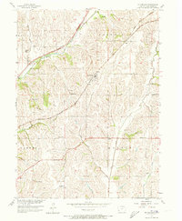
1956 Map of Mc Clelland
USGS Topo · Published 1958About this map
Pottawattamie County's rolling agricultural landscape is defined here by an intricate web of competing rail lines and rural community centers during the mid-1950s. The village of McClelland sits at a strategic junction of the Chicago Rock Island And Pacific and the Chicago Milwaukee ST Paul And Pacific railroads, which cut diagonally across the terrain. To the northwest, the settlement of Weston serves the local farming population, supported by the Weston Sch and the Chicago And North Western line.
Find a feature on this map
26 named features on this map. Tap any name to fly to it.
Don’t see what you’re looking for? This feature index may not catch every label — zoom into the map to look around manually.
Map Details
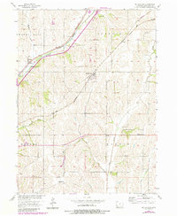
Editions of this 1956 Mc Clelland Map
3 editions found
Other maps of this area

1893 · Omaha
USGS Topo · 1:62,500

1954 · Omaha
USGS Topo · 1:250,000

1956 · Underwood
USGS Topo · 1:24,000

1956 · Mineola
USGS Topo · 1:24,000

1956 · Council Bluffs North
USGS Topo · 1:24,000

1956 · Neola
USGS Topo · 1:24,000

1956 · Treynor
USGS Topo · 1:24,000

1956 · Council Bluffs South
USGS Topo · 1:24,000

1957 · Omaha
USGS Topo · 1:250,000

1957 · Taylor
USGS Topo · 1:24,000