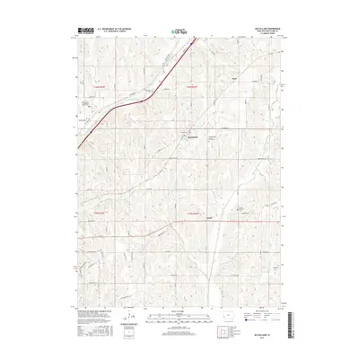
2015 Map of McClelland
USGS Topo · Published 2015About this map
McClelland sits at the junction of Main St and Idlewood Rd, serving as a central point in this agricultural landscape within t76n r42w. The terrain is defined by the winding paths of Mosquito Creek and its various tributaries, which carve through the land alongside prominent features like Bent Tree Ridge and Turnberry Ridge. This 2015 survey reveals a pattern of rural life organized around a grid of roads named for local flora, such as Hickory Rd and Dogwood Rd.
Find a feature on this map
56 named features on this map. Tap any name to fly to it.
Don’t see what you’re looking for? This feature index may not catch every label — zoom into the map to look around manually.
Map Details
Editions of this 2015 McClelland Map
This is the sole edition of this map. No revisions or reprints were ever made.
Other maps of this area

1893 · Omaha
USGS Topo · 1:62,500

1954 · Omaha
USGS Topo · 1:250,000

1956 · Underwood
USGS Topo · 1:24,000

1956 · Mineola
USGS Topo · 1:24,000

1956 · Council Bluffs North
USGS Topo · 1:24,000

1956 · Neola
USGS Topo · 1:24,000

1956 · Treynor
USGS Topo · 1:24,000

1956 · Mc Clelland
USGS Topo · 1:24,000

1956 · Council Bluffs South
USGS Topo · 1:24,000

1957 · Omaha
USGS Topo · 1:250,000