2000s (21st Century) Maps of Deep River, Iowa
Explore 10 historic maps of Deep River from the 2000s (21st Century). These maps offer a rare glimpse into what life looked like during the 2000s — showing old roads, neighborhoods, homes, and landmarks that have changed or disappeared over time.
Whether you're researching your family's past, planning a metal detecting trip, or studying how Deep River's landscape evolved across the 2000s, these high-resolution maps are a powerful tool for exploring the history of this region.
- Focus on a specific era: All maps on this page are from the 2000s, giving you a focused view of this time period.
- See what’s changed: Compare century-old streets, trails, and buildings to today's modern landscape using overlays and satellite layers.
- Research with precision: Use these maps for genealogy, historical research, land use analysis, or educational projects.
- View, download, or print: Maps are fully viewable online in high resolution, and can be downloaded or printed for your own records.
Start exploring Deep River's history through authentic maps from the 2000s. This is your window into the past.
Deep River, IA maps
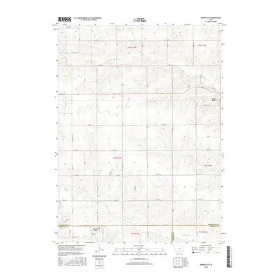
(10)- 2010 Map of Barnes City, 2010 Print
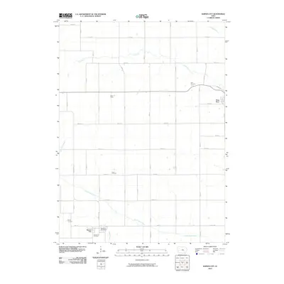 2010 Barnes City2010 Print · USGSCovers Deep River, including Barnes City, Mahaska County, and other nearby areas
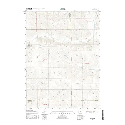
 - 2010 Map of Deep River, 2010 Print
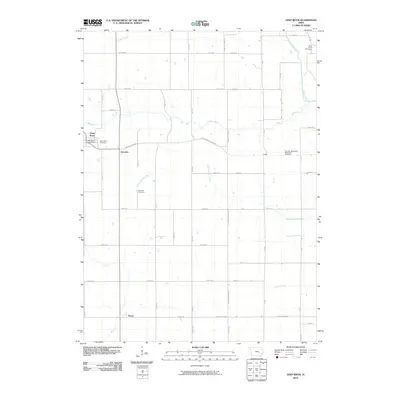 2010 Deep River2010 Print · USGSCovers Deep River, including Dresden, Tilton, and other nearby areas
 - 2013 Map of Barnes City, 2013 Print
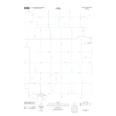 2013 Barnes City2013 Print · USGSCovers Deep River, including Barnes City, Mahaska County, and other nearby areas
 - 2013 Map of Deep River, 2013 Print
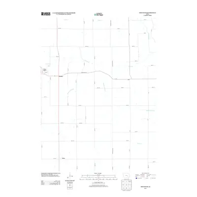 2013 Deep River2013 Print · USGSCovers Deep River, including Dresden, Tilton, and other nearby areas
 - 2015 Map of Barnes City, 2015 Print
 2015 Barnes City2015 Print · USGSCovers Deep River, including Barnes City, Mahaska County, and other nearby areas
 - 2015 Map of Deep River, 2015 Print
 2015 Deep River2015 Print · USGSCovers Deep River, including Dresden, Tilton, and other nearby areas
 - 2018 Map of Barnes City, 2018 Print
 2018 Barnes City2018 Print · USGSCovers Deep River, including Barnes City, Mahaska County, and other nearby areas
 - 2018 Map of Deep River, 2018 Print
 2018 Deep River2018 Print · USGSCovers Deep River, including Dresden, Tilton, and other nearby areas
 - 2022 Map of Barnes City, 2022 Print
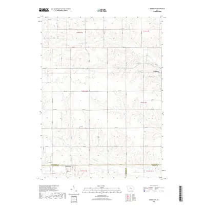
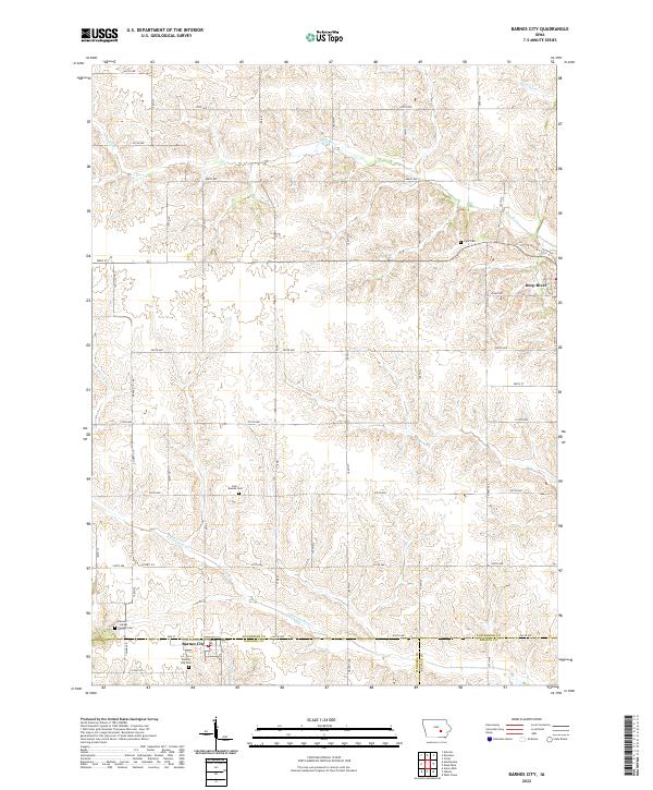 2022 Barnes City2022 Print · USGSMahaska and Poweshiek counties appear here in the early twenty-first century, showing the rural layout around Barnes City. Genealogists and historians can locate legacy burial sites like Lisor - Beulah Cem and Boswell - Harper - Pioneer Cem.
 - 2022 Map of Deep River, 2022 Print
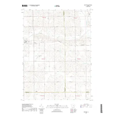
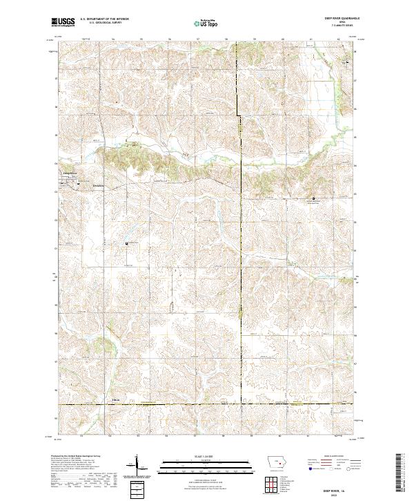 2022 Deep River2022 Print · USGSEastern Poweshiek County shows its enduring agricultural and river-town character in the early twenty-first century. Researchers can trace the layout of Deep River and Dresden, locating historic sites like the German Methodist Episcopal Cem and Saint Johns Cem.
End of results
Showing maps 1-10 of 10
Top cities near Deep River
- Brooklyn historical maps
- Montezuma historical maps
- Victor historical maps
- What Cheer historical maps
- Malcom historical maps
- Keswick historical maps
See more
Frequently asked questions
- What are the different types of historical maps available for Deep River?
- What is the oldest map of Deep River?
- Where can I purchase historical maps of Deep River for my home or office?
- Where can I download high-res historical maps of Deep River?
- Are there historical topographic maps available for Deep River?
- Is there historical aerial imagery available for Deep River?
- Where are historical maps of Deep River sourced from?