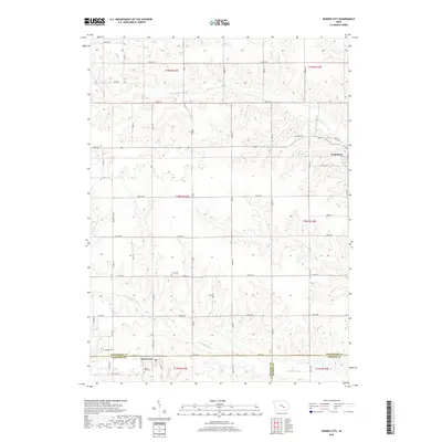
2018 Map of Barnes City
USGS Topo · Published 2018About this map
Barnes City sits at the intersection of Poweshiek, Mahaska, and Keokuk counties, serving as a focal point for this rural agricultural landscape in the late 2010s. The map reveals a high concentration of genealogical sites, with several small burial grounds such as Lisor Cem, Light Cem, and Harper Cem distributed across the sections. The town of Deep River occupies the northeastern corner, with the waterway of the same name and the Jordan Cr draining the northern tiers. To the south, the S English River meanders across the township lines, defining the lower topography. The land is organized by a precise grid of county roads, including 510th Ave and Vine St, reflecting the enduring structure of Iowa's township and range system.
Find a feature on this map
32 named features on this map. Tap any name to fly to it.
Don’t see what you’re looking for? This feature index may not catch every label — zoom into the map to look around manually.
Map Details
Editions of this 2018 Barnes City Map
This is the sole edition of this map. No revisions or reprints were ever made.
Other maps of this area

1954 · Des Moines
USGS Topo · 1:250,000

1956 · Des Moines
USGS Topo · 1:250,000

1957 · Des Moines
USGS Topo · 1:250,000

1965 · Gibson
USGS Topo · 1:24,000

1965 · What Cheer
USGS Topo · 1:24,000

1968 · Deep River
USGS Topo · 1:24,000

1968 · Brooklyn
USGS Topo · 1:24,000

1968 · Victor
USGS Topo · 1:24,000

1968 · Barnes City
USGS Topo · 1:24,000

1969 · Des Moines
USGS Topo · 1:250,000