Old Maps of Deep River, Iowa for Metal Detecting
Plan your next treasure hunt with 17 historic maps of Deep River. Find old homesites, ghost towns, trails, and gathering spots that may be lost to time — perfect for identifying promising metal detecting locations.
- Locate forgotten sites: Uncover places like long-lost settlements, abandoned rail lines, or gathering spots.
- Plan better hunts: Use map overlays combined with LiDAR or satellite views to narrow in on historically rich areas.
- Made for detectorists: Thousands of hobbyists use these maps to discover relics, coins, and hidden history.
Use these historic maps to boost your research and find new opportunities beneath the surface of Deep River.
Deep River, IA maps
(17)- 1954 Map of Des Moines, 1973 Print
 1954 Des Moines1973 Print · USGSCentral Iowa's evolving landscape is captured here in the early seventies, just as major reservoirs were reshaping the river valleys. Genealogists and historians can trace the rail corridors of the Burlington Northern or locate family roots near Pella, Indianola, and Knoxville.2 unique versions available
 - 1956 Map of Des Moines
 1956 Des Moines1956 Print · USGSCentral Iowa in the mid-fifties shows a landscape defined by bustling rail hubs and deep-rooted agricultural research. Genealogists and researchers can trace the growth of Des Moines and Ames, locate the Sac and Fox Indian Reservation, or study the paths of the Skunk River and South Skunk River.
 - 1957 Map of Des Moines
 1957 Des Moines1957 Print · USGSCentral Iowa's post-war landscape is defined here by the converging rail lines and river valleys that shaped its earliest settlements. Genealogists and historians can trace the paths of the Rock Island Railroad and locate community landmarks in Des Moines, Ames, and Newton.
 - 1968 Map of Deep River, 1970 Print
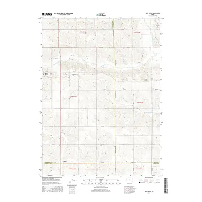
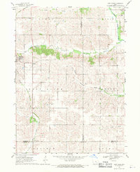 1968 Deep River1970 Print · USGSEastern Iowa farmland in the late sixties reveals a network of small townships and river valleys. Researchers can trace the path of the Old Railroad Grade or locate family sites at Dresden Cem and the town of Deep River.
 - 1968 Map of Barnes City, 1970 Print
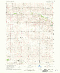 1968 Barnes City1970 Print · USGSMid-century Iowa farm country is captured here during the late 1960s, centered on the tri-county border at Barnes City. Genealogists and local historians can trace family land near Lisor Cem or follow the path of the Chicago Rock Island and Pacific railroad.
 - 1969 Map of Des Moines
 1969 Des Moines1969 Print · USGSCentral Iowa's fertile plains and growing capital are captured here during the late sixties, a time of major highway expansion and reservoir construction. Genealogists and researchers can trace rural township boundaries, local cemeteries, and rail lines serving towns like Pella, Grinnell, and Oskaloosa.
 - 1984 Map of Grinnell, 1985 Print
 1984 Grinnell1985 Print · USGSCentral Iowa's prairie towns and rail corridors are captured in the mid-1980s, showcasing the agricultural grid and protected marshlands. Researchers can trace historic routes along the Chicago and North Western or locate family roots near the Sac and Fox Indian Reservation and Lake Ponderosa.2 unique versions available
 - 2010 Map of Barnes City, 2010 Print
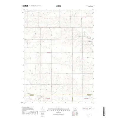
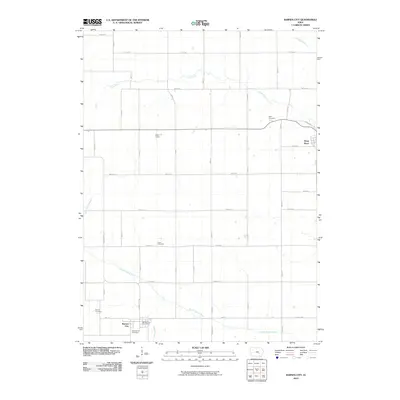 2010 Barnes City2010 Print · USGSCovers Deep River, including Barnes City, Mahaska County, and other nearby areas
 - 2010 Map of Deep River, 2010 Print
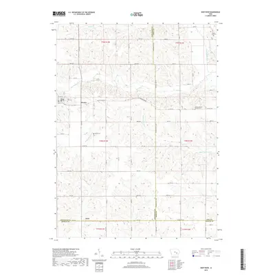
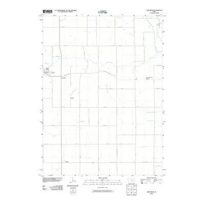 2010 Deep River2010 Print · USGSCovers Deep River, including Dresden, Tilton, and other nearby areas
 - 2013 Map of Barnes City, 2013 Print
 2013 Barnes City2013 Print · USGSCovers Deep River, including Barnes City, Mahaska County, and other nearby areas
 - 2013 Map of Deep River, 2013 Print
 2013 Deep River2013 Print · USGSCovers Deep River, including Dresden, Tilton, and other nearby areas
 - 2015 Map of Barnes City, 2015 Print
 2015 Barnes City2015 Print · USGSCovers Deep River, including Barnes City, Mahaska County, and other nearby areas
 - 2015 Map of Deep River, 2015 Print
 2015 Deep River2015 Print · USGSCovers Deep River, including Dresden, Tilton, and other nearby areas
 - 2018 Map of Barnes City, 2018 Print
 2018 Barnes City2018 Print · USGSCovers Deep River, including Barnes City, Mahaska County, and other nearby areas
 - 2018 Map of Deep River, 2018 Print
 2018 Deep River2018 Print · USGSCovers Deep River, including Dresden, Tilton, and other nearby areas
 - 2022 Map of Barnes City, 2022 Print
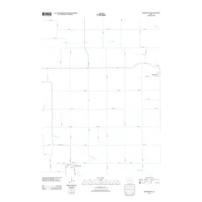
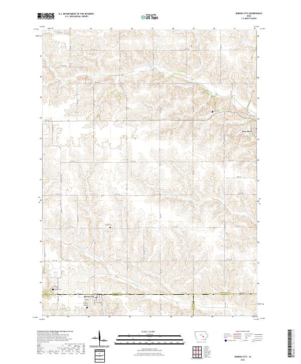 2022 Barnes City2022 Print · USGSMahaska and Poweshiek counties appear here in the early twenty-first century, showing the rural layout around Barnes City. Genealogists and historians can locate legacy burial sites like Lisor - Beulah Cem and Boswell - Harper - Pioneer Cem.
 - 2022 Map of Deep River, 2022 Print
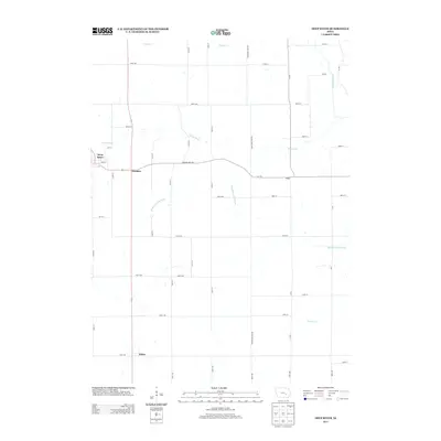
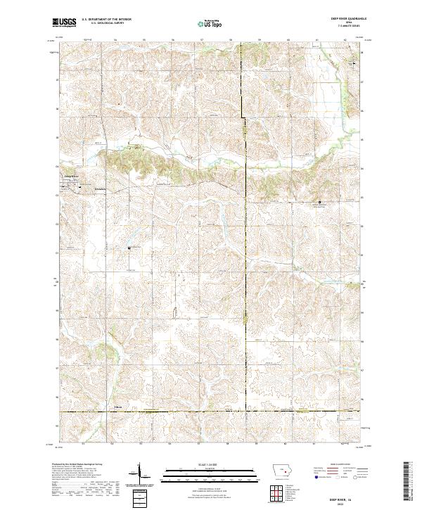 2022 Deep River2022 Print · USGSEastern Poweshiek County shows its enduring agricultural and river-town character in the early twenty-first century. Researchers can trace the layout of Deep River and Dresden, locating historic sites like the German Methodist Episcopal Cem and Saint Johns Cem.
End of results
Showing maps 1-17 of 17
Top cities near Deep River
- Brooklyn historical maps
- Montezuma historical maps
- Victor historical maps
- What Cheer historical maps
- Malcom historical maps
- Keswick historical maps
See more
Frequently asked questions
- What are the different types of historical maps available for Deep River?
- What is the oldest map of Deep River?
- Where can I purchase historical maps of Deep River for my home or office?
- Where can I download high-res historical maps of Deep River?
- Are there historical topographic maps available for Deep River?
- Is there historical aerial imagery available for Deep River?
- Where are historical maps of Deep River sourced from?