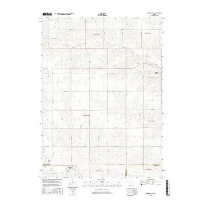
2015 Map of Barnes City
USGS Topo · Published 2015About this map
Barnes City sits at the junction of Poweshiek and Mahaska counties, serving as a primary point of interest in this agricultural landscape. The survey details a highly organized grid of rural roads, including Barnes City Rd and Vine St, which connect the town to surrounding farmstead sections. The town itself is anchored by the Barnes City Cem to the south, while other family or community burial grounds like Light Cem, Lisor Cem, and Harper Cem are scattered across the townships, providing vital reference points for genealogists.
Find a feature on this map
51 named features on this map. Tap any name to fly to it.
Don’t see what you’re looking for? This feature index may not catch every label — zoom into the map to look around manually.
Map Details
Editions of this 2015 Barnes City Map
This is the sole edition of this map. No revisions or reprints were ever made.
Other maps of this area

1954 · Des Moines
USGS Topo · 1:250,000

1956 · Des Moines
USGS Topo · 1:250,000

1957 · Des Moines
USGS Topo · 1:250,000

1965 · Gibson
USGS Topo · 1:24,000

1965 · What Cheer
USGS Topo · 1:24,000

1968 · Deep River
USGS Topo · 1:24,000

1968 · Brooklyn
USGS Topo · 1:24,000

1968 · Victor
USGS Topo · 1:24,000

1968 · Barnes City
USGS Topo · 1:24,000

1969 · Des Moines
USGS Topo · 1:250,000