Old Maps of Wall Lake, Iowa for Academic Research
Study the evolution of Wall Lake with 10 high-resolution historic maps. Whether you're teaching, researching, or modeling changes in land use, these maps provide essential visual documentation of urban, environmental, and geographic change.
- Analyze long-term change: Track patterns in development, transportation, and natural features.
- Ideal for environmental or urban studies: Support academic projects with primary historical map data.
- Use in the classroom or lab: Educators and researchers rely on these maps to bring historical context to life.
These maps are a powerful tool for teaching, research, and visualizing how Wall Lake has changed over the decades.
Wall Lake, IA maps
(10)- 1954 Map of Fort Dodge, 1968 Print
 1954 Fort Dodge1968 Print · USGSNorthwest Iowa is shown here during a period of steady industrial and rail activity in the mid-fifties. Researchers can trace the extensive rail lines connecting Fort Dodge to mining and manufacturing sites like Gypsum and Industry Station.3 unique versions available
 - 1957 Map of Fort Dodge
 1957 Fort Dodge1957 Print · USGSWest-central Iowa thrived as a network of rail-linked agricultural hubs and river towns during the mid-fifties. Researchers can trace the development of the Des Moines River valley and locate historic landmarks in Fort Dodge, Storm Lake, and Lehigh.
 - 1958 Map of Fort Dodge
 1958 Fort Dodge1958 Print · USGSWestern Iowa in the mid-1950s reveals a productive landscape of river-valley industry and prairie agricultural hubs. Researchers can trace the development of the Des Moines River corridor through Fort Dodge and locate vanished local landmarks near Coalville or Storm Lake.
 - 1980 Map of Lake View
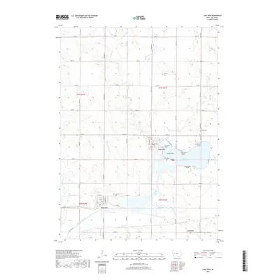
 1980 Lake View1980 Print · USGSSac County at the start of the eighties reveals a landscape shaped by glacial waters and mid-century recreation. You can trace the railroad corridors of the Chicago and North Western and locate local landmarks like Ferguson Cem and Camp Crescent.
 - 1985 Map of Ida Grove
 1985 Ida Grove1985 Print · USGSWestern Iowa's agricultural heartland is documented in the mid-1980s, showcasing a network of grain-hauling rail lines and river valley settlements. Genealogists and historians can trace family locations across Ida Grove and Denison or locate landmarks like Black Hawk Lake.2 unique versions available
 - 2010 Map of Lake View, 2010 Print
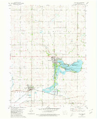
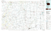
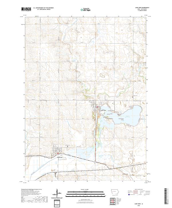
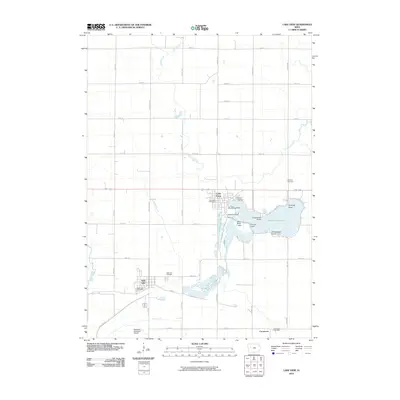 2010 Lake View2010 Print · USGSCovers Wall Lake, including Lake View, Carnarvon, and other nearby areas
 - 2013 Map of Lake View, 2013 Print
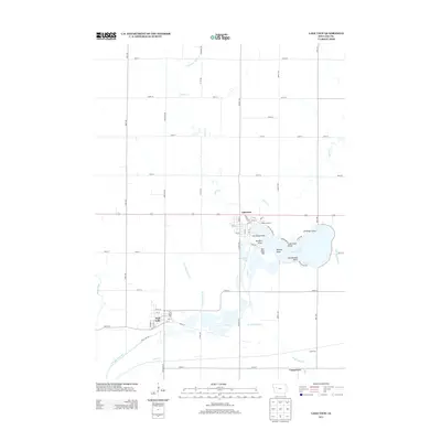 2013 Lake View2013 Print · USGSCovers Wall Lake, including Lake View, Carnarvon, and other nearby areas
 - 2015 Map of Lake View, 2015 Print
 2015 Lake View2015 Print · USGSCovers Wall Lake, including Lake View, Carnarvon, and other nearby areas
 - 2018 Map of Lake View, 2018 Print
 2018 Lake View2018 Print · USGSCovers Wall Lake, including Lake View, Carnarvon, and other nearby areas
 - 2022 Map of Lake View, 2022 Print
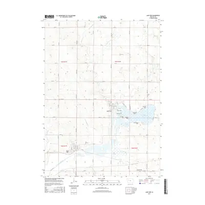
 2022 Lake View2022 Print · USGSSac County at the start of the 2020s shows a landscape shaped by glacial waters and rail history. Trace local routes and landmarks from Lake View to Carnarvon, including the Sauk Rail Trl and the various points along Black Hawk Lake.
End of results
Showing maps 1-10 of 10
Top cities near Wall Lake
- Carroll historical maps
- Sac City historical maps
- Lake View historical maps
- Odebolt historical maps
- Schaller historical maps
- Early historical maps
See more
Frequently asked questions
- What are the different types of historical maps available for Wall Lake?
- What is the oldest map of Wall Lake?
- Where can I purchase historical maps of Wall Lake for my home or office?
- Where can I download high-res historical maps of Wall Lake?
- Are there historical topographic maps available for Wall Lake?
- Is there historical aerial imagery available for Wall Lake?
- Where are historical maps of Wall Lake sourced from?