Old Maps of Alton, Iowa for Metal Detecting
Plan your next treasure hunt with 39 historic maps of Alton. Find old homesites, ghost towns, trails, and gathering spots that may be lost to time — perfect for identifying promising metal detecting locations.
- Locate forgotten sites: Uncover places like long-lost settlements, abandoned rail lines, or gathering spots.
- Plan better hunts: Use map overlays combined with LiDAR or satellite views to narrow in on historically rich areas.
- Made for detectorists: Thousands of hobbyists use these maps to discover relics, coins, and hidden history.
Use these historic maps to boost your research and find new opportunities beneath the surface of Alton.
Alton, IA maps
(39)- 1954 Map of Fairmont, 1967 Print
 1954 Fairmont1967 Print · USGSThe prairie landscape of southern Minnesota and northern Iowa comes alive in this mid-century survey of the Coteau des Prairies. Genealogists and historians can trace the rail-connected growth of Fairmont and Blue Earth or locate family roots near St Kilian Ch and Union Slough National Wildlife Refuge.3 unique versions available
 - 1954 Map of Fort Dodge, 1968 Print
 1954 Fort Dodge1968 Print · USGSNorthwest Iowa is shown here during a period of steady industrial and rail activity in the mid-fifties. Researchers can trace the extensive rail lines connecting Fort Dodge to mining and manufacturing sites like Gypsum and Industry Station.3 unique versions available
 - 1955 Map of Sioux City, 1959 Print
 1955 Sioux City1959 Print · USGSThe Missouri River valley in the mid-fifties is captured here during a time of major engineering and social transition. Genealogists and historians can trace the foundations of Gavins Point Dam, tribal boundaries on the Santee Sioux Indian Reservation, and local landmarks like the Norfolk State Hospital.4 unique versions available
 - 1955 Map of Sioux Falls, 1967 Print
 1955 Sioux Falls1967 Print · USGSThe eastern South Dakota and western Minnesota borderlands come alive in the mid-fifties, showing the vital rail-to-river connections of the era. Genealogists can trace family footprints across townships like Madison and Pipestone, while following the paths of the Big Sioux River and the Chicago and North Western line.3 unique versions available
 - 1957 Map of Fort Dodge
 1957 Fort Dodge1957 Print · USGSWest-central Iowa thrived as a network of rail-linked agricultural hubs and river towns during the mid-fifties. Researchers can trace the development of the Des Moines River valley and locate historic landmarks in Fort Dodge, Storm Lake, and Lehigh.
 - 1958 Map of Sioux City
 1958 Sioux City1958 Print · USGSThe Missouri River valley in the late fifties was a bustling intersection of tribal lands, rail corridors, and river towns. Genealogists can trace family roots through specific rural sites like Daisy Valley School, St Johns Church and School, and Yankton State Hospital.
 - 1958 Map of Sioux Falls
 1958 Sioux Falls1958 Print · USGSThe tri-state borderlands of South Dakota, Minnesota, and Iowa are captured here during the mid-century peak of the regional rail network. Genealogists and historians can trace local landmarks like Augustana Academy, the St Marys Cem, and the path of the Illinois Central through Rock Rapids.
 - 1958 Map of Fort Dodge
 1958 Fort Dodge1958 Print · USGSWestern Iowa in the mid-1950s reveals a productive landscape of river-valley industry and prairie agricultural hubs. Researchers can trace the development of the Des Moines River corridor through Fort Dodge and locate vanished local landmarks near Coalville or Storm Lake.
 - 1958 Map of Fairmont
 1958 Fairmont1958 Print · USGSThe borderlands of southern Minnesota and northern Iowa come alive in the mid-1950s, showing a landscape defined by glacial lakes and rail-line commerce. Researchers can trace historic landmarks like Lakeside Laboratory, Gridley Station, and the Bancroft Wildlife Refuge across the prairie.
 - 1959 Map of Sioux City
 1959 Sioux City1959 Print · USGSThe tri-state region surrounding the Missouri River is captured here in the late fifties, showing the convergence of Nebraska, South Dakota, and Iowa. Researchers can trace rural lineages through numerous country schoolhouses like Cemetery School and the many numbered Washington School districts.
 - 1962 Map of Le Mars, 1964 Print
 1962 Le Mars1964 Print · USGSNorthwestern Iowa's agricultural heartland is documented here in the early sixties, centered on the growing community of Le Mars. Researchers can trace old rail corridors like the ILLINOIS CENTRAL, locate family plots at Resthaven Cemetery, or find historical landmarks like Westmar College.
 - 1964 Map of Hospers, 1965 Print
 1964 Hospers1965 Print · USGSNorthwest Iowa’s agricultural heartland is documented here in the mid-1960s, showing the intersection of rail and river commerce. Genealogists and historians can trace the town sites of Hospers and Newkirk, or locate ancestors at St Anthonys Cem.
 - 1964 Map of Orange City, 1965 Print
 1964 Orange City1965 Print · USGSSioux County's agricultural heartland is captured in the mid-1960s, centered on the growing town of Orange City. Genealogists and researchers can trace local landmarks like the County Home, Middleburg Cem, and the small settlement of Middleburg.
 - 1969 Map of Granville West, 1971 Print
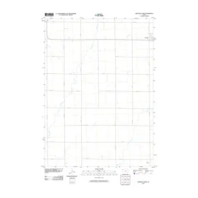
 1969 Granville West1971 Print · USGSNorthwest Iowa's agricultural landscape is captured here in the late sixties as the township system matured. Researchers can trace the path of the Chicago and North Western railroad near Granville or follow the banks of Willow Creek and Deep Creek.
 - 1985 Map of Storm Lake
 1985 Storm Lake1985 Print · USGSNorthwest Iowa's agricultural heartland is documented here in the mid-eighties, showing the vital rail-and-river network of the Little Sioux valley. Researchers can trace the legacy of regional hubs and smaller rail towns like Sutherland, Paullina, and Cherokee.3 unique versions available
 - 1985 Map of Iowa Great Lakes
 1985 Iowa Great Lakes1985 Print · USGSNorthwest Iowa’s glacial lakes and prairie towns are captured here in the mid-1980s, showing a landscape balanced between agriculture and lakeside recreation. Genealogists and historians can locate family sites near Holman Cem or trace the early rail corridors of the Chicago and North Western and the Chicago Milwaukee St Paul and Pacific.2 unique versions available
 - 1985 Map of Rock Rapids
 1985 Rock Rapids1985 Print · USGSThe borderlands of South Dakota and Iowa come into focus in the mid-1980s, centered on the fertile valleys of the Big Sioux River. Genealogists and researchers can trace rural homesteads near Rock Rapids, find Dordt College in Sioux Center, or locate old burial sites like Grace Hill Cem.2 unique versions available
 - 1985 Map of Alton, 1986 Print
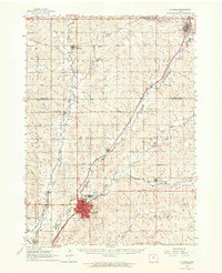
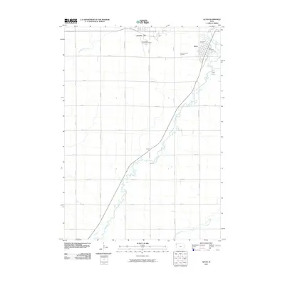
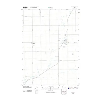
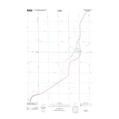
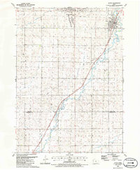 1985 Alton1986 Print · USGSThe Sioux County landscape in the mid-eighties shows the parallel growth of Orange City and Alton along the Floyd River valley. Researchers can locate Northwestern College, the Chicago and North Western rail corridor, and several local landmarks like St Marys Cem.
 - 1986 Map of Sioux City North
 1986 Sioux City North1986 Print · USGSThe tri-state borderlands of Iowa, South Dakota, and Nebraska are captured here in the mid-eighties as the region's agricultural and academic centers thrived. Researchers can trace historic rail lines like the Illinois Central Gulf and locate landmarks from Briar Cliff College to the heights of Spirit Mound.2 unique versions available
 - 2010 Map of Alton, 2010 Print
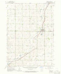
 2010 Alton2010 Print · USGSCovers Alton, including Orange City, Carnes, and other nearby areas
 - 2010 Map of Orange City, 2010 Print
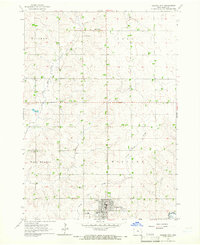
 2010 Orange City2010 Print · USGSCovers Alton, including Orange City, Middleburg, and other nearby areas
 - 2010 Map of Hospers, 2010 Print
 2010 Hospers2010 Print · USGSCovers Alton, including Hospers, Newkirk, and other nearby areas
 - 2010 Map of Granville West, 2010 Print
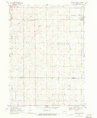
 2010 Granville West2010 Print · USGSCovers Alton, including Granville, Sioux County, and other nearby areas
 - 2013 Map of Orange City, 2013 Print
 2013 Orange City2013 Print · USGSCovers Alton, including Orange City, Middleburg, and other nearby areas
 - 2013 Map of Hospers, 2013 Print
 2013 Hospers2013 Print · USGSCovers Alton, including Hospers, Newkirk, and other nearby areas
Showing maps 1-25 of 39
Top cities near Alton
- Le Mars historical maps
- Sioux Center historical maps
- Orange City historical maps
- Sheldon historical maps
- Hull historical maps
- Remsen historical maps
See more
Frequently asked questions
- What are the different types of historical maps available for Alton?
- What is the oldest map of Alton?
- Where can I purchase historical maps of Alton for my home or office?
- Where can I download high-res historical maps of Alton?
- Are there historical topographic maps available for Alton?
- Is there historical aerial imagery available for Alton?
- Where are historical maps of Alton sourced from?