Old Maps of Hull, Iowa for Academic Research
Study the evolution of Hull with 15 high-resolution historic maps. Whether you're teaching, researching, or modeling changes in land use, these maps provide essential visual documentation of urban, environmental, and geographic change.
- Analyze long-term change: Track patterns in development, transportation, and natural features.
- Ideal for environmental or urban studies: Support academic projects with primary historical map data.
- Use in the classroom or lab: Educators and researchers rely on these maps to bring historical context to life.
These maps are a powerful tool for teaching, research, and visualizing how Hull has changed over the decades.
Hull, IA maps
(15)- 1955 Map of Sioux Falls, 1967 Print
 1955 Sioux Falls1967 Print · USGSThe eastern South Dakota and western Minnesota borderlands come alive in the mid-fifties, showing the vital rail-to-river connections of the era. Genealogists can trace family footprints across townships like Madison and Pipestone, while following the paths of the Big Sioux River and the Chicago and North Western line.3 unique versions available
 - 1958 Map of Sioux Falls
 1958 Sioux Falls1958 Print · USGSThe tri-state borderlands of South Dakota, Minnesota, and Iowa are captured here during the mid-century peak of the regional rail network. Genealogists and historians can trace local landmarks like Augustana Academy, the St Marys Cem, and the path of the Illinois Central through Rock Rapids.
 - 1964 Map of Boyden, 1965 Print
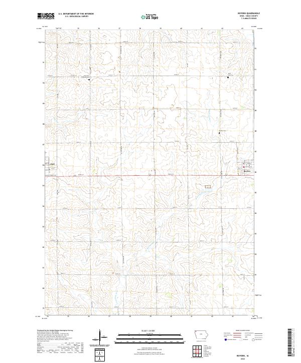
 1964 Boyden1965 Print · USGSSioux County farming life is captured here in the mid-1960s, centered on the railroad towns of Boyden and Hull. Researchers can trace genealogy and land use through landmarks like St John Sch, St Paul Ch, and the winding West Branch Floyd River.
 - 1964 Map of Hull, 1966 Print
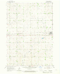
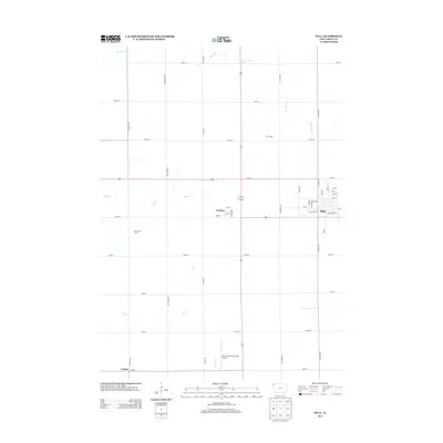
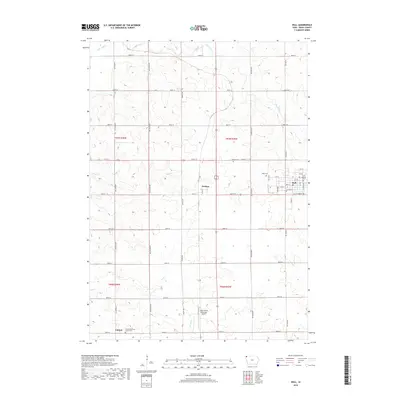
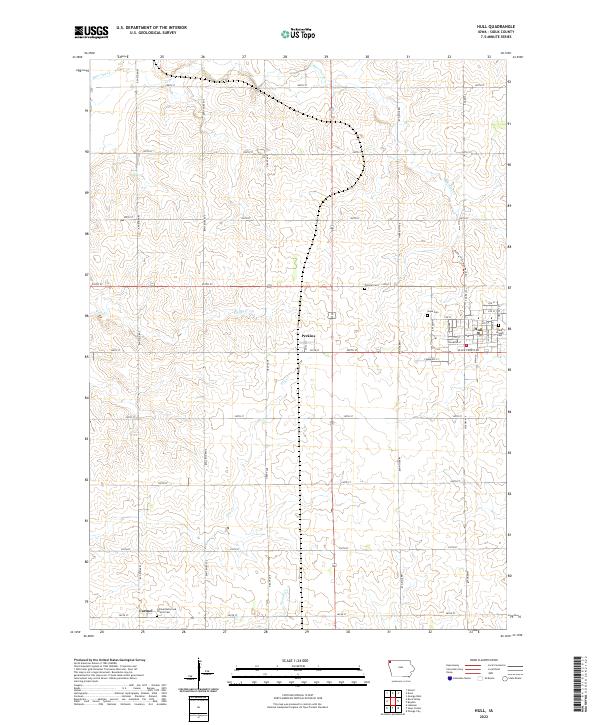
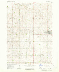 1964 Hull1966 Print · USGSMid-century Sioux County farm country is centered here around the busy railroad junction at Perkins and the town of Hull. Genealogists and local historians can trace family-named sites, rural cemeteries like Pioneer Cem, and the path of Sixmile Cr.
 - 1985 Map of Rock Rapids
 1985 Rock Rapids1985 Print · USGSThe borderlands of South Dakota and Iowa come into focus in the mid-1980s, centered on the fertile valleys of the Big Sioux River. Genealogists and researchers can trace rural homesteads near Rock Rapids, find Dordt College in Sioux Center, or locate old burial sites like Grace Hill Cem.2 unique versions available
 - 2010 Map of Boyden, 2010 Print
 2010 Boyden2010 Print · USGSCovers Hull, including Boyden, Sioux County, and other nearby areas
 - 2010 Map of Hull, 2010 Print
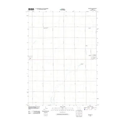
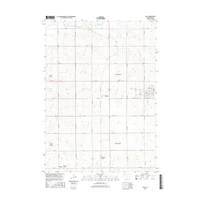
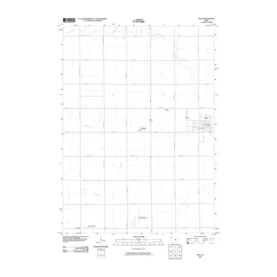 2010 Hull2010 Print · USGSCovers Hull, including Perkins, Carmel, and other nearby areas
 - 2013 Map of Hull, 2013 Print
 2013 Hull2013 Print · USGSCovers Hull, including Perkins, Carmel, and other nearby areas
 - 2013 Map of Boyden, 2013 Print
 2013 Boyden2013 Print · USGSCovers Hull, including Boyden, Sioux County, and other nearby areas
 - 2015 Map of Hull, 2015 Print
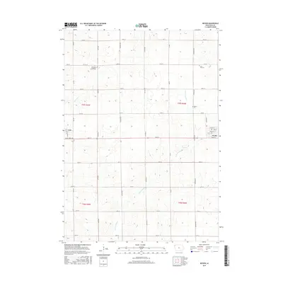
 2015 Hull2015 Print · USGSCovers Hull, including Perkins, Carmel, and other nearby areas
 - 2015 Map of Boyden, 2015 Print
 2015 Boyden2015 Print · USGSCovers Hull, including Boyden, Sioux County, and other nearby areas
 - 2018 Map of Hull, 2018 Print
 2018 Hull2018 Print · USGSCovers Hull, including Perkins, Carmel, and other nearby areas
 - 2018 Map of Boyden, 2018 Print
 2018 Boyden2018 Print · USGSCovers Hull, including Boyden, Sioux County, and other nearby areas
 - 2022 Map of Boyden, 2022 Print
 2022 Boyden2022 Print · USGSIn the early twenty-first century, this part of Sioux County, Iowa, remains a quintessential prairie landscape defined by agriculture and small-town grit. Genealogists can trace local roots through sites like Saint Paul Lutheran Cem or follow the path of the W Br Floyd River near Boyden.
 - 2022 Map of Hull, 2022 Print
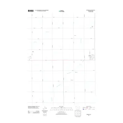
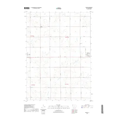
 2022 Hull2022 Print · USGSHull and the surrounding Sioux County farmland are shown here in the modern era, mapped with high-precision detail. Genealogists can trace family roots at Hope Cem, Pioneer Cem, or the Carmel Reformed Church Cem near the southern settlement of Carmel.
End of results
Showing maps 1-15 of 15
Top cities near Hull
- Sioux Center historical maps
- Orange City historical maps
- Rock Valley historical maps
- Rock Rapids historical maps
- Alton historical maps
- George historical maps
See more
Frequently asked questions
- What are the different types of historical maps available for Hull?
- What is the oldest map of Hull?
- Where can I purchase historical maps of Hull for my home or office?
- Where can I download high-res historical maps of Hull?
- Are there historical topographic maps available for Hull?
- Is there historical aerial imagery available for Hull?
- Where are historical maps of Hull sourced from?