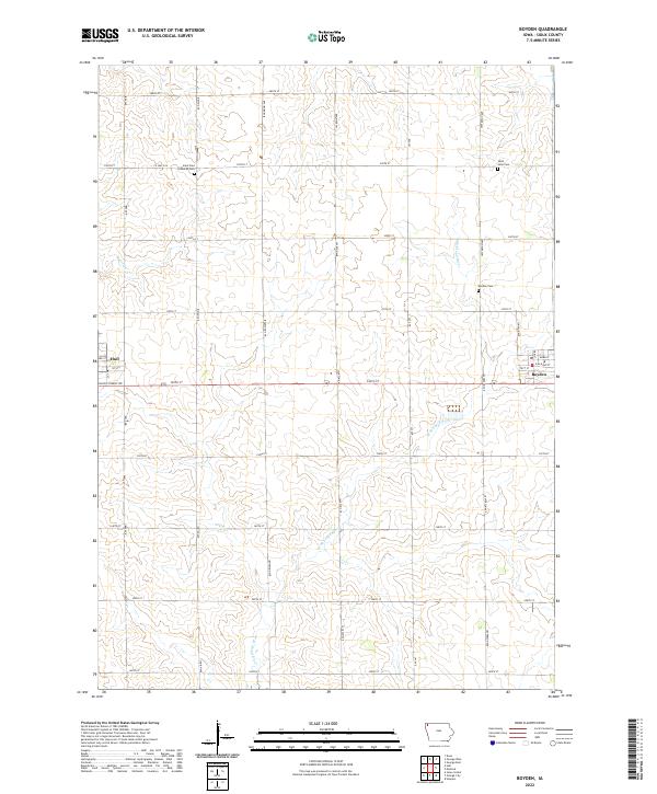
2022 Map of Boyden
USGS Topo · Published 2022About this map
Boyden and Hull anchor this section of Northwest Iowa, where a systematic grid of section-line roads defines the agrarian landscape. The eastern portion of the map is dominated by the W Br Floyd River, which winds south through townships t97n r44w and t96n r44w, while Burr Oak Cr drains the northwestern corner near Hull. This modern survey reveals a deeply rooted rural community, evidenced by several established burial grounds including Saint Paul Lutheran Cem and Saint John Cem. The residential streets of Boyden are organized around a core that includes Main St, Webb St, and Railroad St, reflecting the historical importance of the rail corridor to the local economy. Beyond the town limits, the vast majority of the land is dedicated to agriculture, with farms accessed via a dense network of numbered streets and named avenues like Indian Ave and Jefferson Ave.
Find a feature on this map
35 named features on this map. Tap any name to fly to it.
Don’t see what you’re looking for? This feature index may not catch every label — zoom into the map to look around manually.
Map Details
Editions of this 2022 Boyden Map
This is the sole edition of this map. No revisions or reprints were ever made.
Other maps of this area

1954 · Fairmont
USGS Topo · 1:250,000

1955 · Sioux Falls
USGS Topo · 1:250,000

1958 · Sioux Falls
USGS Topo · 1:250,000

1958 · Fairmont
USGS Topo · 1:250,000

1964 · Hospers
USGS Topo · 1:24,000

1964 · Matlock
USGS Topo · 1:24,000

1964 · Orange City
USGS Topo · 1:24,000

1964 · Boyden
USGS Topo · 1:24,000

1964 · Sioux Center
USGS Topo · 1:24,000

1964 · Hull
USGS Topo · 1:24,000