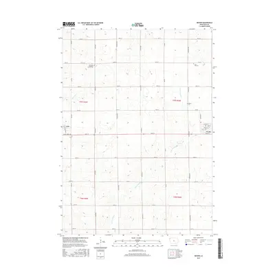
2015 Map of Boyden
USGS Topo · Published 2015About this map
The agrarian landscape of Sioux County is defined by a rigid section-line road grid and the meandering path of the W Br Floyd River and Burr Oak Cr. Centered on the town of Boyden, the map reveals a community organized around the section lines of the Public Land Survey System, with many local roads named for alphabetized flora and terrestrial features like Ibex Ave, Ironwood Ave, and Indian Ave. Genealogists will find significant value in the documentation of local burial grounds, including the Saint Pauls Evangelical Lutheran Cem and Saint John Cem, which serve as cornerstones for the area's pioneer heritage. To the west, the edge of Hull is visible, connected to Boyden by a network of rural routes such as Co Hwy B14 and Black Forest Rd.
Find a feature on this map
38 named features on this map. Tap any name to fly to it.
Don’t see what you’re looking for? This feature index may not catch every label — zoom into the map to look around manually.
Map Details
Editions of this 2015 Boyden Map
This is the sole edition of this map. No revisions or reprints were ever made.
Other maps of this area

1954 · Fairmont
USGS Topo · 1:250,000

1955 · Sioux Falls
USGS Topo · 1:250,000

1958 · Sioux Falls
USGS Topo · 1:250,000

1958 · Fairmont
USGS Topo · 1:250,000

1964 · Hospers
USGS Topo · 1:24,000

1964 · Matlock
USGS Topo · 1:24,000

1964 · Orange City
USGS Topo · 1:24,000

1964 · Boyden
USGS Topo · 1:24,000

1964 · Sioux Center
USGS Topo · 1:24,000

1964 · Hull
USGS Topo · 1:24,000