Old Maps of Elberon, Iowa for Hiking & Exploration
Hike through history with 9 historic maps of Elberon. Explore old trails, ghost towns, and forgotten backroads — perfect for outdoor adventurers and local explorers.
- Rediscover forgotten places: Map out old mining camps, roads, and footpaths that no longer exist on modern maps.
- Layer with modern tools: Combine with LiDAR or satellite views to plan hikes through historical terrain.
- Made for exploration: Popular among hikers, overlanders, and local history lovers.
Use these maps to find adventure and explore the hidden past of Elberon.
Elberon, IA maps
(9)- 1954 Map of Waterloo, 1968 Print
 1954 Waterloo1968 Print · USGSCentral Iowa at the height of its mid-century agricultural and rail boom features the growing hubs of Waterloo and Cedar Falls. Genealogists and researchers can trace the rail corridors of the Chicago Great Western and find local landmarks like Iowa State College and Brushy Ridge.4 unique versions available
 - 1955 Map of Waterloo
 1955 Waterloo1955 Print · USGSCentral Iowa in the mid-fifties presents a dense landscape of rail-connected farming towns and growing river cities. Researchers can trace ancestral roots and old transport routes through Waterloo, Marshalltown, and Ames, while locating rural Cemeteries and local Quarries.2 unique versions available
 - 1971 Map of Elberon, 1973 Print
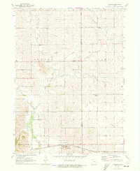 1971 Elberon1973 Print · USGSElberon and the surrounding farmlands of Tama and Benton counties appear here in the early 1970s. Genealogists and local historians can locate several family burial sites like Houghton Cem and Toogood Cem near the Chicago Milwaukee St Paul and Pacific rail line.
 - 1984 Map of Marshalltown, 1985 Print
 1984 Marshalltown1985 Print · USGSMid-Iowa's agricultural landscape and river corridors come alive in the mid-eighties as the Cedar River connects industrial hubs and small farm towns. Trace the tracks of the CHICAGO AND NORTHWESTERN or locate local landmarks like Union Grove State Park and Cedar Falls Junction.2 unique versions available
 - 2010 Map of Elberon, 2010 Print
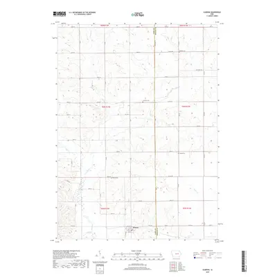
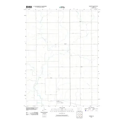 2010 Elberon2010 Print · USGSCovers Elberon, including Benton County, Tama County, and other nearby areas
 - 2013 Map of Elberon, 2013 Print
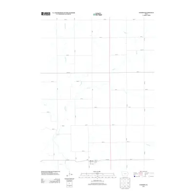 2013 Elberon2013 Print · USGSCovers Elberon, including Benton County, Tama County, and other nearby areas
 - 2015 Map of Elberon, 2015 Print
 2015 Elberon2015 Print · USGSCovers Elberon, including Benton County, Tama County, and other nearby areas
 - 2018 Map of Elberon, 2018 Print
 2018 Elberon2018 Print · USGSCovers Elberon, including Benton County, Tama County, and other nearby areas
 - 2022 Map of Elberon, 2022 Print
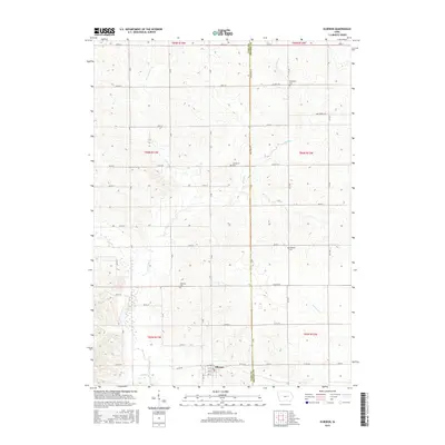
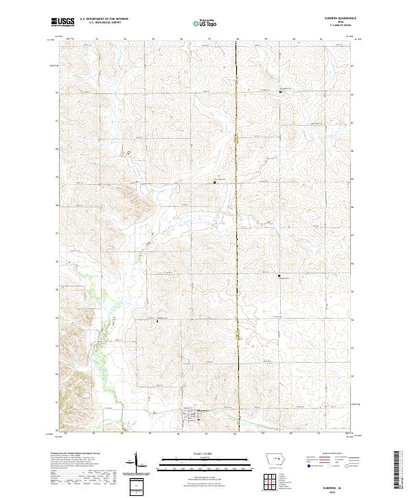 2022 Elberon2022 Print · USGSElberon and the surrounding agricultural landscape of Tama and Benton counties are documented here in recent years. Researchers can pinpoint specific local sites such as Waltham Cem, the rail-aligned streets of Elberon, and the winding course of Stein Cr.
End of results
Showing maps 1-9 of 9
Top cities near Elberon
- Belle Plaine historical maps
- Traer historical maps
- Dysart historical maps
- Van Horne historical maps
- Blairstown historical maps
- Keystone historical maps
See more
Frequently asked questions
- What are the different types of historical maps available for Elberon?
- What is the oldest map of Elberon?
- Where can I purchase historical maps of Elberon for my home or office?
- Where can I download high-res historical maps of Elberon?
- Are there historical topographic maps available for Elberon?
- Is there historical aerial imagery available for Elberon?
- Where are historical maps of Elberon sourced from?