Old Maps of Hardin Township, Iowa for Academic Research
Study the evolution of Hardin Township with 17 high-resolution historic maps. Whether you're teaching, researching, or modeling changes in land use, these maps provide essential visual documentation of urban, environmental, and geographic change.
- Analyze long-term change: Track patterns in development, transportation, and natural features.
- Ideal for environmental or urban studies: Support academic projects with primary historical map data.
- Use in the classroom or lab: Educators and researchers rely on these maps to bring historical context to life.
These maps are a powerful tool for teaching, research, and visualizing how Hardin Township has changed over the decades.
Hardin Township, IA maps
(17)- 1916 Map of Boone
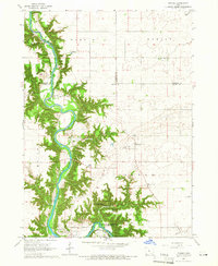
 1916 Boone1916 Print · USGSBoone and the Des Moines River valley appear here in the decade before the Great War, showing a landscape defined by deep river bluffs and heavy rail traffic. Genealogists can locate dozens of named rural schools such as Incline School and Coal Valley School, or trace the riverside streets of Moingona and Fraser.3 unique versions available
 - 1954 Map of Waterloo, 1968 Print
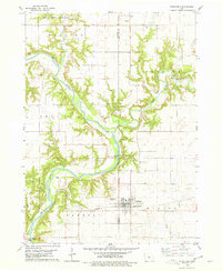
 1954 Waterloo1968 Print · USGSCentral Iowa at the height of its mid-century agricultural and rail boom features the growing hubs of Waterloo and Cedar Falls. Genealogists and researchers can trace the rail corridors of the Chicago Great Western and find local landmarks like Iowa State College and Brushy Ridge.4 unique versions available
 - 1955 Map of Waterloo
 1955 Waterloo1955 Print · USGSCentral Iowa in the mid-fifties presents a dense landscape of rail-connected farming towns and growing river cities. Researchers can trace ancestral roots and old transport routes through Waterloo, Marshalltown, and Ames, while locating rural Cemeteries and local Quarries.2 unique versions available
 - 1965 Map of Fraser, 1966 Print
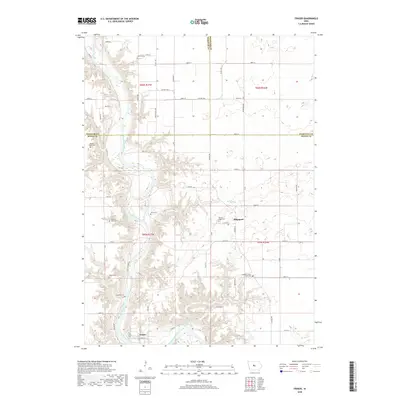
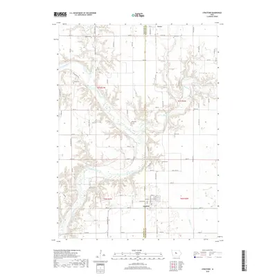
 1965 Fraser1966 Print · USGSThe Des Moines River valley in the mid-1960s reveals a rural landscape transitioning toward major hydrological management. Researchers can trace ancestral locations at Hardin Cem or Mineral Ridge Cem and locate vanished landmarks near Ridgeport and Fraser.
 - 1978 Map of Stratford, 1979 Print
 1978 Stratford1979 Print · USGSStratford and the surrounding river bluffs are documented in the late 1970s as the railroad and river define the local economy. Researchers can locate several family and pioneer burial sites like Vegors Cem and Homer Cem, or trace the rail path of the Chicago and North Western.
 - 1985 Map of Ames
 1985 Ames1985 Print · USGSCentral Iowa's prairie landscape in the mid-eighties shows a well-established network of rail towns and conservation areas. Genealogists and historians can trace the paths of the Lincoln Highway and the Chicago and North Western line connecting Ames, Boone, and Webster City.
 - 1993 Map of Ames
 1993 Ames1993 Print · USGSCentral Iowa in the early nineties shows a landscape of river-fed parklands and growing academic centers. Genealogists and researchers can trace local church sites like Sts Peter and Paul Ch or navigate the corridors of the Chicago and North Western through towns like Hubbard and Stanhope.
 - 2010 Map of Stratford, 2010 Print
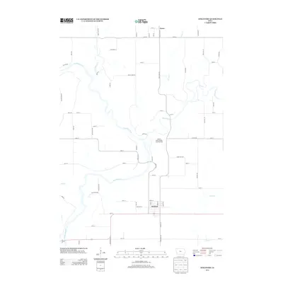
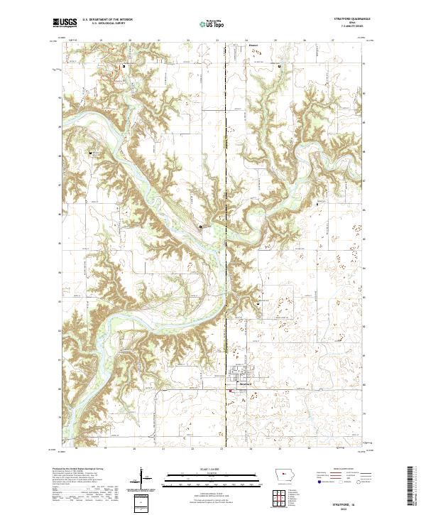
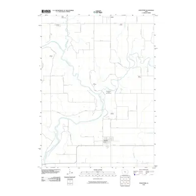 2010 Stratford2010 Print · USGSCovers Hardin Township, including Stratford, Dayton Township, and other nearby areas
 - 2010 Map of Fraser, 2010 Print
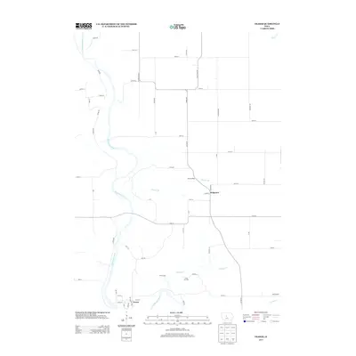
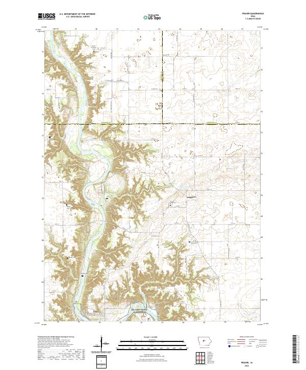
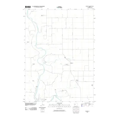 2010 Fraser2010 Print · USGSCovers Hardin Township, including Fraser, Dodge Township, and other nearby areas
 - 2013 Map of Stratford, 2013 Print
 2013 Stratford2013 Print · USGSCovers Hardin Township, including Stratford, Dayton Township, and other nearby areas
 - 2013 Map of Fraser, 2013 Print
 2013 Fraser2013 Print · USGSCovers Hardin Township, including Fraser, Dodge Township, and other nearby areas
 - 2015 Map of Stratford, 2015 Print
 2015 Stratford2015 Print · USGSCovers Hardin Township, including Stratford, Dayton Township, and other nearby areas
 - 2015 Map of Fraser, 2015 Print
 2015 Fraser2015 Print · USGSCovers Hardin Township, including Fraser, Dodge Township, and other nearby areas
 - 2018 Map of Fraser, 2018 Print
 2018 Fraser2018 Print · USGSCovers Hardin Township, including Fraser, Dodge Township, and other nearby areas
 - 2018 Map of Stratford, 2018 Print
 2018 Stratford2018 Print · USGSCovers Hardin Township, including Stratford, Dayton Township, and other nearby areas
 - 2022 Map of Fraser, 2022 Print
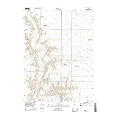
 2022 Fraser2022 Print · USGSThe Des Moines River valley in Boone County comes alive in this contemporary survey of central Iowa's rural landscape. Researchers can locate numerous historic burial sites such as Mineral Ridge Cem and Shafer Gear Cem near the settlement of Fraser.
 - 2022 Map of Stratford, 2022 Print
 2022 Stratford2022 Print · USGSStratford and the Des Moines River valley appear here in their modern context at the junction of Webster and Hamilton counties. Researchers can trace numerous rural burial grounds and family landmarks like Vegors Cem, Homer Cem, and the old settlement of Homer.
End of results
Showing maps 1-17 of 17
Top cities near Hardin Township
- Fort Dodge historical maps
- Boone historical maps
- Webster City historical maps
- Ogden historical maps
- Dayton historical maps
- Stratford historical maps
See more
Frequently asked questions
- What are the different types of historical maps available for Hardin Township?
- What is the oldest map of Hardin Township?
- Where can I purchase historical maps of Hardin Township for my home or office?
- Where can I download high-res historical maps of Hardin Township?
- Are there historical topographic maps available for Hardin Township?
- Is there historical aerial imagery available for Hardin Township?
- Where are historical maps of Hardin Township sourced from?