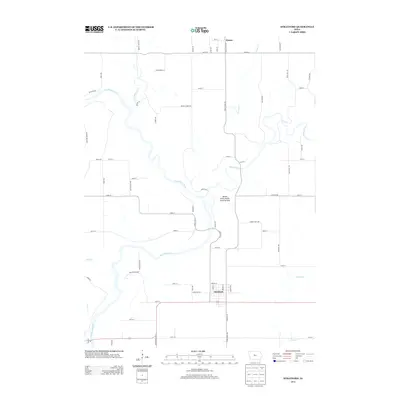
2013 Map of Stratford
USGS Topo · Published 2013About this map
Stratford serves as the primary hub in this central Iowa landscape, where the convergence of the Des Moines River and the Boone River dictates the local topography. This area, known for its deep river valleys, includes the Boone Forks Public Hunting Area, a significant conservation space situated near the confluence. To the north, the small settlement of Homer anchors a network of rural roads that follow the section lines of the surrounding farmland, including Stage Coach Rd, which hints at the historical transit corridors of the region.
Find a feature on this map
60 named features on this map. Tap any name to fly to it.
Don’t see what you’re looking for? This feature index may not catch every label — zoom into the map to look around manually.
Map Details
Editions of this 2013 Stratford Map
This is the sole edition of this map. No revisions or reprints were ever made.
Other maps of this area

1916 · Boone
USGS Topo · 1:62,500

1923 · Lehigh
USGS Topo · 1:62,500

1951 · Ogden
USGS Topo · 1:62,500

1954 · Waterloo
USGS Topo · 1:250,000

1954 · Fort Dodge
USGS Topo · 1:250,000

1955 · Waterloo
USGS Topo · 1:250,000

1957 · Fort Dodge
USGS Topo · 1:250,000

1958 · Fort Dodge
USGS Topo · 1:250,000

1965 · Mackey
USGS Topo · 1:24,000

1965 · Fraser
USGS Topo · 1:24,000