Old Maps of Thompson, Iowa for Academic Research
Study the evolution of Thompson with 16 high-resolution historic maps. Whether you're teaching, researching, or modeling changes in land use, these maps provide essential visual documentation of urban, environmental, and geographic change.
- Analyze long-term change: Track patterns in development, transportation, and natural features.
- Ideal for environmental or urban studies: Support academic projects with primary historical map data.
- Use in the classroom or lab: Educators and researchers rely on these maps to bring historical context to life.
These maps are a powerful tool for teaching, research, and visualizing how Thompson has changed over the decades.
Thompson, IA maps
(16)- 1954 Map of Mason City, 1967 Print
 1954 Mason City1967 Print · USGSSouthern Minnesota and northern Iowa are shown here at the height of the mid-century rail era, centered on the regional hubs of Mason City and Rochester. Researchers can trace the vanished paths of the Chicago Great Western and find local landmarks like Pilot Knob and Bear Lake.2 unique versions available
 - 1957 Map of Mason City
 1957 Mason City1957 Print · USGSThe Minnesota-Iowa border region comes alive in this mid-century survey, from the industrial plants of Mason City to the medical hub of Rochester. Researchers can trace the rail-and-river economy through the Chicago Great Western Railway and the Shell Rock River.
 - 1958 Map of Mason City
 1958 Mason City1958 Print · USGSSouthern Minnesota and northern Iowa are shown during the mid-fifties when railroads still anchored the regional economy. Genealogists and historians can trace the intricate rail networks of the Illinois Central and find local landmarks in Mason City, Albert Lea, and Austin.
 - 1972 Map of Buffalo Center NE, 1975 Print
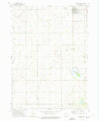
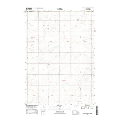
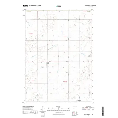
 1972 Buffalo Center NE1975 Print · USGSWinnebago County farm country is captured here in the early 1970s as the rail and road networks of northern Iowa reached their modern form. Researchers can trace the CHICAGO ROCK ISLAND AND PACIFIC tracks through Thompson or locate local landmarks like Trinity Ch and Florence Park.
 - 1972 Map of Thompson, 1975 Print
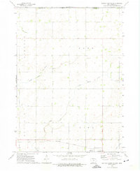
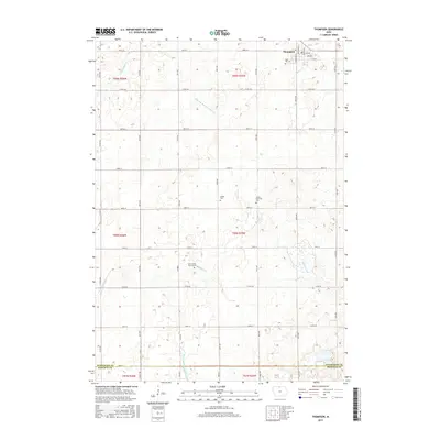
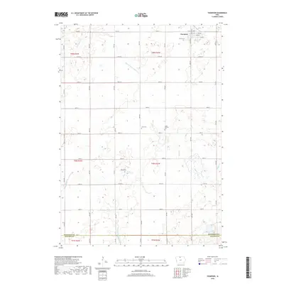
 1972 Thompson1975 Print · USGSThompson sits at a vital railroad junction in the early 1970s, surrounded by a productive landscape of gridded townships and creek-fed wetlands. Researchers can trace rural lineages through markers like Rose Hill Cem, Grant Ch, and the Myre Slough State Game Management Area.
 - 1985 Map of Mason City
 1985 Mason City1985 Print · USGSThe Northern Iowa and Southern Minnesota borderlands are captured here in the mid-eighties, showing a region defined by agricultural drainage and rail heritage. Genealogists and historians can trace the grid of rural townships and find local landmarks like Pilot Knob State Park, Nora Springs, and Clear Lake State Park.2 unique versions available
 - 2010 Map of Thompson, 2010 Print
 2010 Thompson2010 Print · USGSCovers Thompson, including Winnebago County, Hancock County, and other nearby areas
 - 2010 Map of Buffalo Center NE, 2010 Print
 2010 Buffalo Center NE2010 Print · USGSCovers Thompson, including Amund, Faribault County, and other nearby areas
 - 2013 Map of Thompson, 2013 Print
 2013 Thompson2013 Print · USGSCovers Thompson, including Winnebago County, Hancock County, and other nearby areas
 - 2013 Map of Buffalo Center NE, 2013 Print
 2013 Buffalo Center NE2013 Print · USGSCovers Thompson, including Amund, Faribault County, and other nearby areas
 - 2015 Map of Thompson, 2015 Print
 2015 Thompson2015 Print · USGSCovers Thompson, including Winnebago County, Hancock County, and other nearby areas
 - 2015 Map of Buffalo Center NE, 2015 Print
 2015 Buffalo Center NE2015 Print · USGSCovers Thompson, including Amund, Faribault County, and other nearby areas
 - 2018 Map of Buffalo Center NE, 2018 Print
 2018 Buffalo Center NE2018 Print · USGSCovers Thompson, including Amund, Faribault County, and other nearby areas
 - 2018 Map of Thompson, 2018 Print
 2018 Thompson2018 Print · USGSCovers Thompson, including Winnebago County, Hancock County, and other nearby areas
 - 2022 Map of Buffalo Center NE, 2022 Print
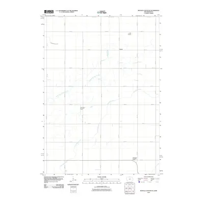
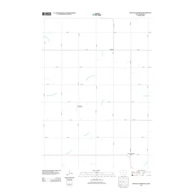
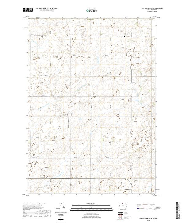 2022 Buffalo Center NE2022 Print · USGSNorthern Iowa farmland and the settlement of Thompson are captured in the early twenty-first century. Researchers can trace rural cemetery sites like Trinity Lutheran Church Cem and local landmarks such as Friesenborg & Larson Airport.
 - 2022 Map of Thompson, 2022 Print
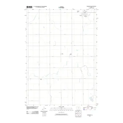
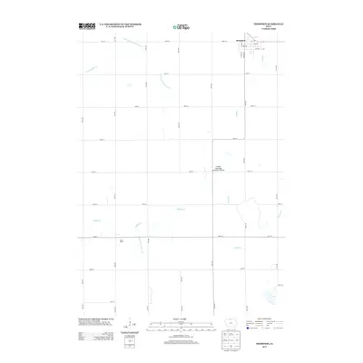
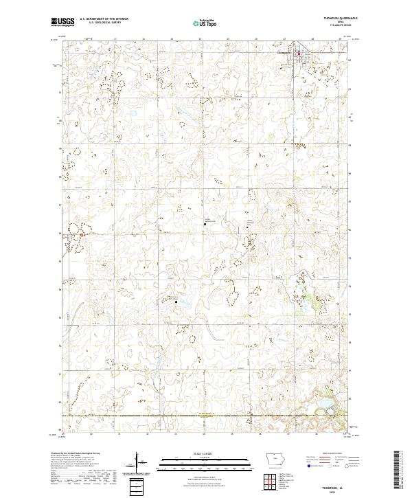 2022 Thompson2022 Print · USGSThompson and the surrounding rural townships of Winnebago County are captured here in the early twenty-first century. Genealogists can locate family landmarks such as Linden Township Cem and the Dan Lemme Farm Graves along the banks of Buffalo Cr.
End of results
Showing maps 1-16 of 16
Top cities near Thompson
- Forest City historical maps
- Lake Mills historical maps
- Buffalo Center historical maps
- Kiester historical maps
- Bricelyn historical maps
- Mansfield historical maps
See more
Frequently asked questions
- What are the different types of historical maps available for Thompson?
- What is the oldest map of Thompson?
- Where can I purchase historical maps of Thompson for my home or office?
- Where can I download high-res historical maps of Thompson?
- Are there historical topographic maps available for Thompson?
- Is there historical aerial imagery available for Thompson?
- Where are historical maps of Thompson sourced from?