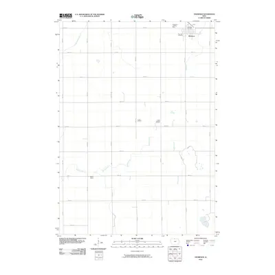
2010 Map of Thompson
USGS Topo · Published 2010About this map
Thompson stands as the primary hub of this north-central Iowa landscape, defined by a grid of agricultural section roads and the meandering paths of Buffalo Creek and Little Buffalo Creek. The town is well-documented with its Thompson Post Office and the nearby Rose Hill Cemetery to the west. Farther south, the small community of Mount Valley sits along 60th Ave, offering a clear point of reference for genealogists tracking family origins in Winnebago County. The map provides a detailed view of the rural infrastructure at this time, including the Halverson Landing Strip and a cluster of burial sites like Linden Cemetery and Linden Township Cemetery. The terrain is characterized by subtle drainage patterns like Pike Run, which cuts through the northeastern corner near the township line.
Find a feature on this map
26 named features on this map. Tap any name to fly to it.
Don’t see what you’re looking for? This feature index may not catch every label — zoom into the map to look around manually.
Map Details
Editions of this 2010 Thompson Map
This is the sole edition of this map. No revisions or reprints were ever made.
Other maps of this area

1954 · Mason City
USGS Topo · 1:250,000

1957 · Mason City
USGS Topo · 1:250,000

1958 · Mason City
USGS Topo · 1:250,000

1972 · Buffalo Center
USGS Topo · 1:24,000

1972 · Buffalo Center SW
USGS Topo · 1:24,000

1972 · Forest City
USGS Topo · 1:24,000

1972 · Buffalo Center NE
USGS Topo · 1:24,000

1972 · Hayfield
USGS Topo · 1:24,000

1972 · Crystal Lake
USGS Topo · 1:24,000

1972 · Vinje
USGS Topo · 1:24,000