
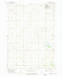
1972 Map of Forest City
USGS Topo · Published 1975About this map
The Winnebago River meanders southward through this North Central Iowa landscape, serving as a primary corridor for both rail and settlement in the early 1970s. The town of Leland sits at the junction of the Chicago and North Western and the Chicago Rock Island and Pacific railroads, reflecting the heavy reliance on these transit lines for the transport of agricultural goods. Further south, Forest City appears as a significant regional hub, its grid extending toward the Winnebago and Hancock County line.
Find a feature on this map
26 named features on this map. Tap any name to fly to it.
Don’t see what you’re looking for? This feature index may not catch every label — zoom into the map to look around manually.
Map Details
Editions of this 1972 Forest City Map
This is the sole edition of this map. No revisions or reprints were ever made.
Other maps of this area

1954 · Mason City
USGS Topo · 1:250,000

1957 · Mason City
USGS Topo · 1:250,000

1958 · Mason City
USGS Topo · 1:250,000

1972 · Buffalo Center NE
USGS Topo · 1:24,000

1972 · Hayfield
USGS Topo · 1:24,000

1972 · Crystal Lake
USGS Topo · 1:24,000

1972 · Pilot Knob
USGS Topo · 1:24,000

1972 · Vinje
USGS Topo · 1:24,000
1972 · Thompson
USGS Topo · 1:24,000
1972 · Miller
USGS Topo · 1:24,000