2000s (21st Century) Maps of Allen County, Kansas
Explore 100 historic maps of Allen County from the 2000s (21st Century). These maps offer a rare glimpse into what life looked like during the 2000s — showing old roads, neighborhoods, homes, and landmarks that have changed or disappeared over time.
Whether you're researching your family's past, planning a metal detecting trip, or studying how Allen County's landscape evolved across the 2000s, these high-resolution maps are a powerful tool for exploring the history of this region.
- Focus on a specific era: All maps on this page are from the 2000s, giving you a focused view of this time period.
- See what’s changed: Compare century-old streets, trails, and buildings to today's modern landscape using overlays and satellite layers.
- Research with precision: Use these maps for genealogy, historical research, land use analysis, or educational projects.
- View, download, or print: Maps are fully viewable online in high resolution, and can be downloaded or printed for your own records.
Start exploring Allen County's history through authentic maps from the 2000s. This is your window into the past.
Allen County, KS maps
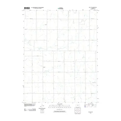
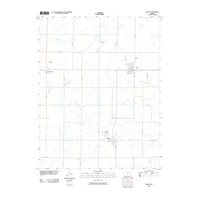
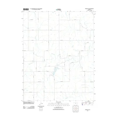
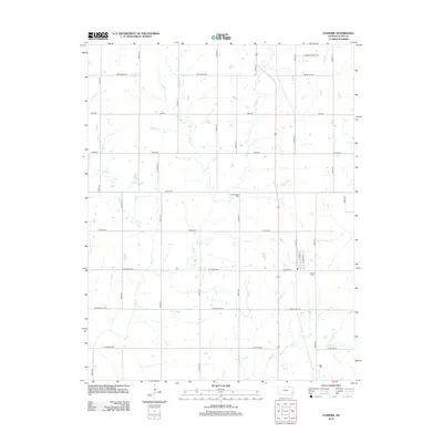
(100)- 2009 Map of Porterville, 2009 Print
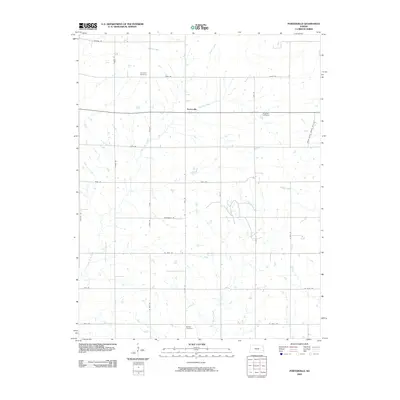 2009 Porterville2009 Print · USGSCovers Allen County, including Porterville, Crawford County, and other nearby areas
 - 2009 Map of Piqua, 2009 Print
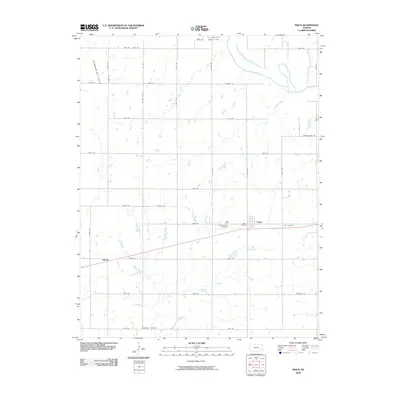 2009 Piqua2009 Print · USGSCovers Allen County, including Neosho Falls, Piqua, and other nearby areas
 - 2009 Map of Vilas, 2009 Print
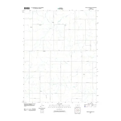
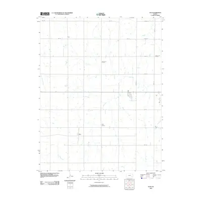 2009 Vilas2009 Print · USGSCovers Allen County, including Vilas, Neosho County, and other nearby areas
 - 2009 Map of Chanute, 2009 Print
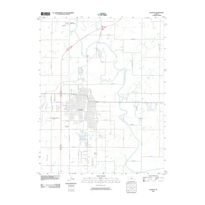 2009 Chanute2009 Print · USGSCovers Allen County, including Chanute, Petrolia, and other nearby areas
 - 2009 Map of Elsmore, 2009 Print
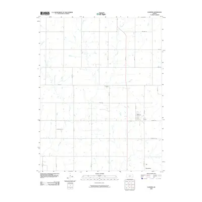 2009 Elsmore2009 Print · USGSCovers Allen County, including Savonburg, Elsmore, and other nearby areas
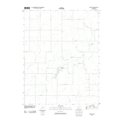
 - 2009 Map of Moran, 2009 Print
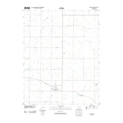
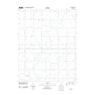
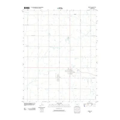 2009 Moran2009 Print · USGSCovers Allen County, including Moran, Bayard, and other nearby areas
 - 2009 Map of Blue Mound, 2009 Print
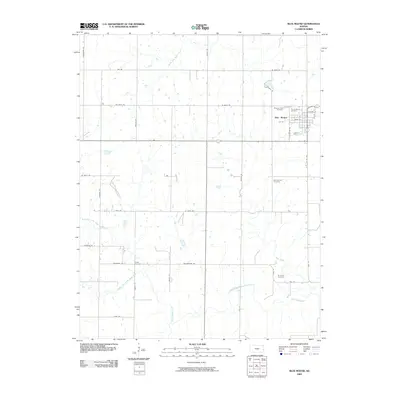 2009 Blue Mound2009 Print · USGSCovers Allen County, including Blue Mound, Bourbon County, and other nearby areas
 - 2009 Map of Colony, 2009 Print
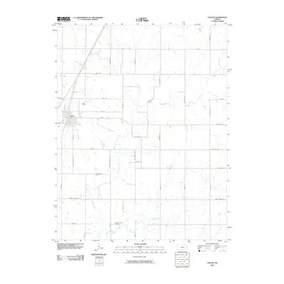 2009 Colony2009 Print · USGSCovers Allen County, including Colony, Anderson County, and other nearby areas
 - 2009 Map of Iola SE, 2009 Print
 2009 Iola SE2009 Print · USGSCovers Allen County, including United States, Kansas, and other nearby areas
 - 2009 Map of Bronson, 2009 Print
 2009 Bronson2009 Print · USGSCovers Allen County, including Bronson, Bourbon County, and other nearby areas
 - 2009 Map of Humboldt, 2009 Print
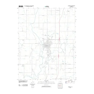 2009 Humboldt2009 Print · USGSCovers Allen County, including Humboldt, United States, and other nearby areas
 - 2009 Map of Geneva, 2009 Print
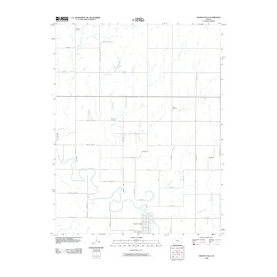
 2009 Geneva2009 Print · USGSCovers Allen County, including Geneva, Anderson County, and other nearby areas
 - 2009 Map of La Harpe, 2009 Print
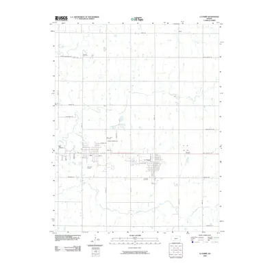 2009 La Harpe2009 Print · USGSCovers Allen County, including La Harpe, Gas, and other nearby areas
 - 2009 Map of Stark, 2009 Print
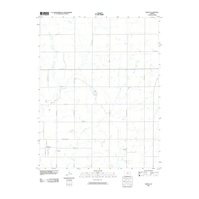
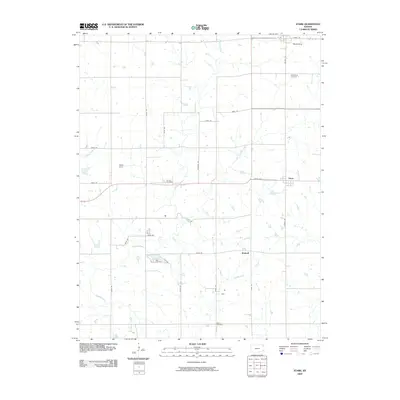 2009 Stark2009 Print · USGSCovers Allen County, including Stark, Savonburg, and other nearby areas
 - 2009 Map of Moran SE, 2009 Print
 2009 Moran SE2009 Print · USGSCovers Allen County, including Bourbon County, United States, and other nearby areas
 - 2009 Map of Rollin, 2009 Print
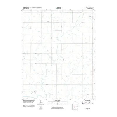 2009 Rollin2009 Print · USGSCovers Allen County, including Leanna, Odense, and other nearby areas
 - 2009 Map of Kincaid, 2009 Print
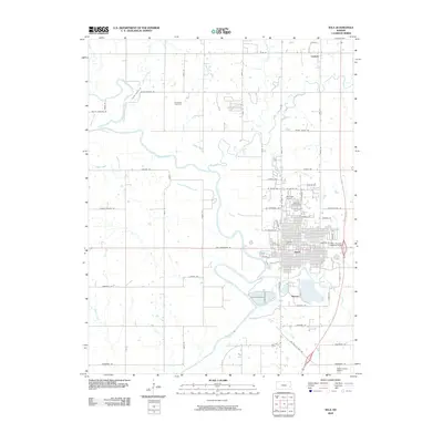
 2009 Kincaid2009 Print · USGSCovers Allen County, including Kincaid, Mildred, and other nearby areas
 - 2009 Map of Iola, 2009 Print
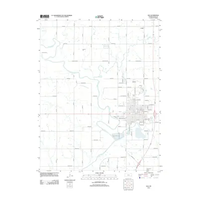
 2009 Iola2009 Print · USGSCovers Allen County, including Iola, Carlyle, and other nearby areas
 - 2009 Map of Neosho Falls, 2009 Print
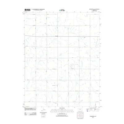
 2009 Neosho Falls2009 Print · USGSCovers Allen County, including Neosho Falls, LeRoy, and other nearby areas
 - 2010 Map of Yates Center SE, 2010 Print
 2010 Yates Center SE2010 Print · USGSCovers Allen County, including Cookville, Woodson County, and other nearby areas
 - 2012 Map of Moran SE, 2012 Print
 2012 Moran SE2012 Print · USGSCovers Allen County, including Bourbon County, United States, and other nearby areas
 - 2012 Map of Rollin, 2012 Print
 2012 Rollin2012 Print · USGSCovers Allen County, including Leanna, Odense, and other nearby areas
 - 2012 Map of Porterville, 2012 Print
 2012 Porterville2012 Print · USGSCovers Allen County, including Porterville, Crawford County, and other nearby areas
 - 2012 Map of Iola, 2012 Print
 2012 Iola2012 Print · USGSCovers Allen County, including Iola, Carlyle, and other nearby areas
 - 2012 Map of Elsmore, 2012 Print
 2012 Elsmore2012 Print · USGSCovers Allen County, including Savonburg, Elsmore, and other nearby areas
Showing maps 1-25 of 100
Top cities of Allen County
- Iola historical maps
- Humboldt historical maps
- La Harpe historical maps
- Gas historical maps
- Moran historical maps
- Carlyle historical maps
See more
Frequently asked questions
- What are the different types of historical maps available for Allen County?
- What is the oldest map of Allen County?
- Where can I purchase historical maps of Allen County for my home or office?
- Where can I download high-res historical maps of Allen County?
- Are there historical topographic maps available for Allen County?
- Is there historical aerial imagery available for Allen County?
- Where are historical maps of Allen County sourced from?