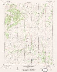
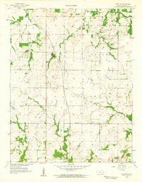
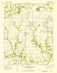
1900s (20th Century) Maps of Bourbon County, Kansas
Explore 50 historic maps of Bourbon County from the 1900s (20th Century). These maps offer a rare glimpse into what life looked like during the 1900s — showing old roads, neighborhoods, homes, and landmarks that have changed or disappeared over time.
Whether you're researching your family's past, planning a metal detecting trip, or studying how Bourbon County's landscape evolved across the 1900s, these high-resolution maps are a powerful tool for exploring the history of this region.
- Focus on a specific era: All maps on this page are from the 1900s, giving you a focused view of this time period.
- See what’s changed: Compare century-old streets, trails, and buildings to today's modern landscape using overlays and satellite layers.
- Research with precision: Use these maps for genealogy, historical research, land use analysis, or educational projects.
- View, download, or print: Maps are fully viewable online in high resolution, and can be downloaded or printed for your own records.
Start exploring Bourbon County's history through authentic maps from the 1900s. This is your window into the past.
Bourbon County, KS maps
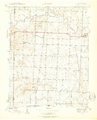
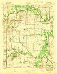
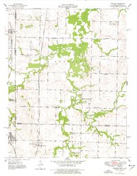
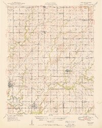
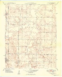
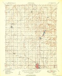
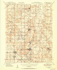
(50)- 1904 Map of Iola
 1904 Iola1904 Print · USGSSoutheast Kansas at the start of the century was a land defined by the iron rail and the winding Neosho River. Genealogists and historians can trace the early footprints of Iola, Chamute, and Erie, alongside smaller depots like Gas and Savonburg.4 unique versions available
 - 1939 Map of Deerfield, 1953 Print
 1939 Deerfield1953 Print · USGSVernon County at the end of the thirties was a region defined by its river valleys and a dense network of local schoolhouses. Genealogists and historians can trace family roots through numerous sites like Sunny Slope Sch, Bunnville, and the rail junction at Eve.3 unique versions available
 - 1940 Map of Hume, 1954 Print
 1940 Hume1954 Print · USGSThe Missouri-Kansas borderlands come to life in this late-depression era survey centered on Hume. Genealogists and local historians can trace family roots through numerous rural landmarks like Hume Cem, Union Chapel, and the settlement of Amos.3 unique versions available
 - 1942 Map of Hume
 1942 Hume1942 Print · USGSThe Missouri-Kansas border area near Hume is captured here just before the mid-century, showing a landscape tightly woven with railroads and rural school districts. Genealogists can locate family landmarks like Lawrence Cem, Union Chapel, and the now-vanished rail stop at Amos.2 unique versions available
 - 1942 Map of Richards
 1942 Richards1942 Print · USGSThe Missouri-Kansas borderlands in the late 1930s were defined by the crossing of major rail lines and the winding Little Osage River. Researchers can trace old township schoolhouses like Enoch Sch and local burial sites including Turley Cem and East Liberty Cem.3 unique versions available
 - 1942 Map of Deerfield
 1942 Deerfield1942 Print · USGSThe Missouri-Kansas border comes into focus in the early 1940s, showing a rural landscape defined by the Marmaton River and the Kansas City Southern railroad. Researchers can locate numerous country schools like Lone Elm Sch and Sunny Slope Sch or trace the small settlements of Deerfield and Eve.2 unique versions available
 - 1947 Map of Lawrence, 1954 Print
 1947 Lawrence1954 Print · USGSEastern Kansas and western Missouri thrive in the late 1940s, showing a landscape defined by major river valleys and a dense railway network. Genealogists can trace family settlements from Lawrence to Greenwood and locate landmarks like Olathe Navy and Lake Lotawana.
 - 1947 Map of Joplin, 1954 Print
 1947 Joplin1954 Print · USGSThe borderlands of Missouri, Kansas, and Oklahoma are shown here during the late 1940s, a period of heavy industrial and military activity. Researchers can trace the extensive Tri-State Mining District, the layout of Camp Crowder, and local landmarks like Mount Hope Cem.
 - 1948 Map of Mulberry, 1954 Print
 1948 Mulberry1954 Print · USGSThe Kansas-Missouri border was a hive of industrial activity just after the war, marked by extensive coal excavations. Genealogists can trace family roots through dozens of rural schools and small settlements like Arma, Croweburg, and Coalvale.2 unique versions available
 - 1948 Map of Erie, 1960 Print
 1948 Erie1960 Print · USGSSoutheast Kansas at the end of the 1940s reveals a landscape of thriving rail-side towns and rural school districts. Genealogists and historians can trace family locations near Savonburg, St Paul, and dozens of country schools like Wannersburg Sch or Osborn Sch.
 - 1948 Map of Girard, 1963 Print
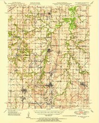
 1948 Girard1963 Print · USGSCrawford and Bourbon counties come to life in the late 1940s, showcasing a landscape of busy rail junctions and rural school districts. You can trace family roots through numerous sites like Lutheran Cem, Gunn Sch, and the old Fish Hatchery.
 - 1948 Map of Garland, 1977 Print
 1948 Garland1977 Print · USGSThe Kansas-Missouri borderlands come alive in this mid-century survey, showing the busy rail corridors and coal fields of Bourbon and Vernon counties. Genealogists can trace family roots through numerous rural landmarks like McKill Chapel, Heaviside Cem, and Oskaloosa.
 - 1949 Map of Erie
 1949 Erie1949 Print · USGSSoutheast Kansas in the late 1940s reveals a landscape of thriving rail towns and rural schoolhouses amidst an active oil and gas boom. Genealogists can trace family footprints at St Francis Cem, the County Home, and numerous local schools like Maple Grove Sch.3 unique versions available
 - 1949 Map of Garland
 1949 Garland1949 Print · USGSThe Kansas-Missouri border comes alive in the late 1940s, showing a landscape defined by coal extraction and rail transport. Researchers can trace the Kansas City Southern line past Garland or locate rural landmarks like McKill Chapel and Totten Sch.2 unique versions available
 - 1949 Map of Girard
 1949 Girard1949 Print · USGSSoutheast Kansas at the close of the 1940s reveals a landscape of thriving rural townships and critical rail junctions. Genealogists can trace family roots through numerous country schools like Gunn Sch and local burial grounds including Hiattville Cem and Union Center Cem.2 unique versions available
 - 1949 Map of Joplin
 1949 Joplin1949 Print · USGSThe Kansas-Missouri borderlands thrive in the late 1940s, showing a robust network of railroad towns and river valleys. Researchers can trace historic rail lines like the Missouri Pacific RR and locate rural centers such as Chanute, Iola, and Fort Scott.
 - 1950 Map of Mulberry
 1950 Mulberry1950 Print · USGSThe Kansas-Missouri borderlands at mid-century are defined here by a dense network of coal-mining towns and rail lines. Genealogists can trace family roots through numerous local landmarks like McKill Chapel, the settlement of Red Onion, and the layout of Camp 50.2 unique versions available
 - 1950 Map of Lawrence
 1950 Lawrence1950 Print · USGSMid-century Kansas and Missouri come alive in this map of the river-valley corridors just as the interstate era was beginning. Researchers can trace the legacy of major rail lines like the Union Pacific RR and locate ancestral roots in towns from Lawrence to Harrisonville.
 - 1954 Map of Joplin, 1967 Print
 1954 Joplin1967 Print · USGSThe tri-state border region of Kansas, Missouri, and Oklahoma is captured here during a peak era of mid-century industrial and agricultural activity. Researchers can trace family history through dozens of rural cemeteries or locate landmarks like the Kansas Army Ammunition Plant and Pittsburg State University.3 unique versions available
 - 1956 Map of Lawrence, 1967 Print
 1956 Lawrence1967 Print · USGSEastern Kansas and the Missouri border country are captured here during the mid-century transition to the interstate era. Genealogists and local historians can trace family-named terrain like Summers Mound and the footprint of Sunflower Ordnance Works near Baldwin City.4 unique versions available
 - 1958 Map of Joplin
 1958 Joplin1958 Print · USGSThe tri-state border region of Missouri, Kansas, and Oklahoma is shown during the late fifties, a time of heavy rail traffic and mining activity. Local historians can trace the industrial landscape through the Joplin & Pittsburg Ry or locate family sites like Zion Ch and Bender Mounds.
 - 1958 Map of Devon, 1959 Print
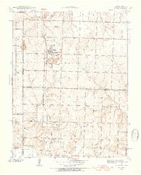
 1958 Devon1959 Print · USGSDevon and Bourbon County are shown here in the late fifties, during a period when rural schools still dotted the Kansas prairie. Family historians can locate several local landmarks like Fish Creek Sch, Centerville Ch, and the Old Railroad Grade.2 unique versions available
 - 1958 Map of Hammond, 1959 Print
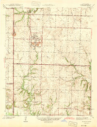
 1958 Hammond1959 Print · USGSBourbon County, Kansas, is documented in the late fifties as the regional economy shifted from family farming toward mineral extraction. Genealogists can trace rural school districts and cemeteries including Maple Grove Cem, Hammond, and Center Sch.2 unique versions available
 - 1958 Map of Prescott, 1959 Print
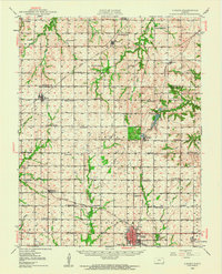
 1958 Prescott1959 Print · USGSEastern Kansas at the close of the 1950s shows a landscape shaped by coal mining and the rail corridor. Researchers can trace family history through numerous rural sites like Battlefield Cem, Walnut Valley Sch, and the old settlement of Barnesville.2 unique versions available
 - 1958 Map of Fort Scott, 1959 Print
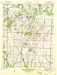
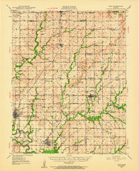
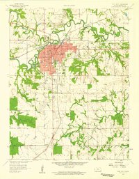 1958 Fort Scott1959 Print · USGSFort Scott and its surrounding townships thrived in the late fifties as a center for education and industry. Genealogists can trace family footprints through several rural burial grounds like Evergreen Cemetery and St Marys Cem, while local historians can locate the Old Indian Boundary and numerous strip mines.2 unique versions available
Showing maps 1-25 of 50
Top cities of Bourbon County
- Fort Scott historical maps
- Marmaton historical maps
- Bronson historical maps
- Uniontown historical maps
- Fulton historical maps
- Redfield historical maps
See more
Frequently asked questions
- What are the different types of historical maps available for Bourbon County?
- What is the oldest map of Bourbon County?
- Where can I purchase historical maps of Bourbon County for my home or office?
- Where can I download high-res historical maps of Bourbon County?
- Are there historical topographic maps available for Bourbon County?
- Is there historical aerial imagery available for Bourbon County?
- Where are historical maps of Bourbon County sourced from?