2010s Maps of Bourbon County, Kansas
Explore 62 historic maps of Bourbon County from the 2010s. These maps offer a rare glimpse into what life looked like during the 2010s — showing old roads, neighborhoods, homes, and landmarks that have changed or disappeared over time.
Whether you're researching your family's past, planning a metal detecting trip, or studying how Bourbon County's landscape evolved across the 2010s, these high-resolution maps are a powerful tool for exploring the history of this region.
- Focus on a specific era: All maps on this page are from the 2010s, giving you a focused view of this time period.
- See what’s changed: Compare century-old streets, trails, and buildings to today's modern landscape using overlays and satellite layers.
- Research with precision: Use these maps for genealogy, historical research, land use analysis, or educational projects.
- View, download, or print: Maps are fully viewable online in high resolution, and can be downloaded or printed for your own records.
Start exploring Bourbon County's history through authentic maps from the 2010s. This is your window into the past.
Bourbon County, KS maps
(62)- 2010 Map of Fort Scott, 2010 Print
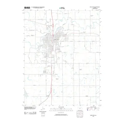 2010 Fort Scott2010 Print · USGSFort Scott and the surrounding Bourbon County countryside are shown here in the early 2000s, centered on the river and rail corridors. Researchers can locate numerous historic burial sites, from the Fort Scott National Cemetery to the rural Clarksburg Cemetery near Godfrey.
 - 2010 Map of Marmaton, 2010 Print
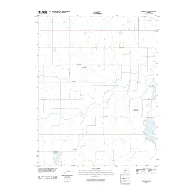 2010 Marmaton2010 Print · USGSBourbon County, Kansas, is documented here in the early twenty-first century as a landscape of river bends and rural settlements. Genealogists and local historians can trace family locations near Marmaton, the Marmaton Cemetery, and the waters of Lake Fort Scott.
 - 2011 Map of Richards, 2011 Print
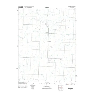 2011 Richards2011 Print · USGSThe Vernon County countryside near the Kansas border is captured here in the early 21st century. Genealogists and local historians can locate several family-named landmarks and burial grounds, including Kaufman Cemetery, Richland Cemetery, and the Rombaugh Hills.
 - 2011 Map of Hume, 2011 Print
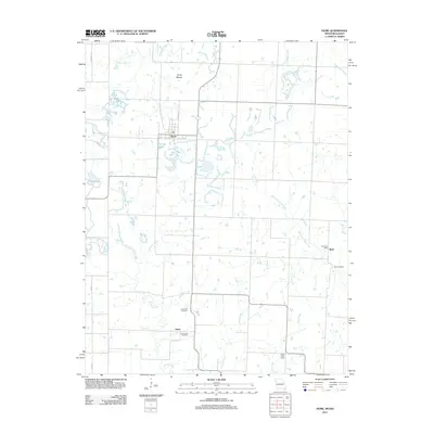 2011 Hume2011 Print · USGSThe borderlands of Missouri and Kansas appear here in the early twenty-first century, centered on the town of Hume. Researchers can trace rural family sites through the Lawrence Cemetery and Underwood Cemetery or locate the Rock Post Office in the eastern hills.
 - 2011 Map of Deerfield, 2011 Print
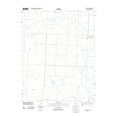 2011 Deerfield2011 Print · USGSVernon County at the start of the decade shows a landscape of river-bottom farms and quiet rural crossroads. Genealogists can trace family landmarks like White Cemetery or Logan Cemetery and the rail corridor through Eve and Swart.
 - 2012 Map of Xenia, 2012 Print
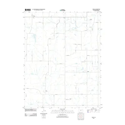 2012 Xenia2012 Print · USGSBourbon County is captured here in the early twenty-first century, showing a quiet landscape of prairie creeks and historic rural settlements. Researchers can trace family roots through several local burial sites, including Turkey Creek Cem, Morris Cem, and the high ground near Guthrie Mountain.
 - 2012 Map of Cato, 2012 Print
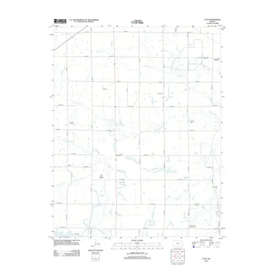 2012 Cato2012 Print · USGSCrawford County at the start of the 2010s shows a landscape of established rural settlements and numerous historic burial sites. Genealogists can trace family names at Old Arcadia Cem, Mayfield Cem, and Pleasant Valley Sheffield Cem.
 - 2012 Map of Fort Scott, 2012 Print
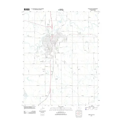 2012 Fort Scott2012 Print · USGSBourbon County in the early twenty-first century maintains its quiet agricultural character south of the regional hub. Genealogists and local historians can use this survey to locate the rural settlement of Edward and trace the path of Mill Cr through the local landscape.
 - 2012 Map of Marmaton, 2012 Print
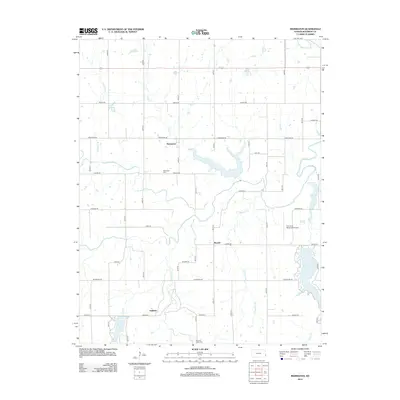 2012 Marmaton2012 Print · USGSBourbon County in the early twenty-first century is defined by the winding Marmaton River and its rural prairie settlements. Historians can trace the locations of the Marmaton Cem and Pleasant Valley Cem, or locate landmarks like the Fort Scott Municipal Airport.
 - 2012 Map of Garland, 2012 Print
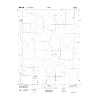 2012 Garland2012 Print · USGSThe Kansas-Missouri borderlands come into focus in the early 2010s, showing a landscape defined by meandering creeks and rural crossroads. Genealogists can trace several burial sites like McKill Chapel Cem and Gill Cem, or locate landmarks such as Blue Mound.
 - 2012 Map of Mantey, 2012 Print
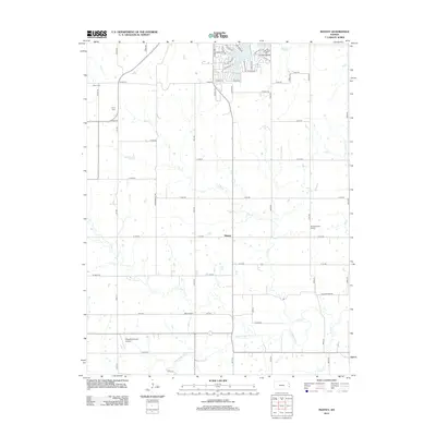 2012 Mantey2012 Print · USGSMantey and the surrounding Kansas prairie are captured here in the early twenty-first century, showing a rural landscape defined by the Little Osage River. Genealogists can locate family landmarks like Shaw Cem and the sites of the White School and Pleasant Valley School.
 - 2012 Map of Devon, 2012 Print
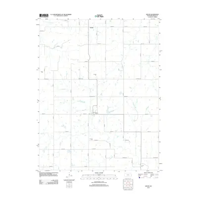 2012 Devon2012 Print · USGSBourbon County is shown in the early twenty-first century, revealing a rural landscape shaped by the Little Osage River and a rigid grid of country roads. Researchers can locate several local burial grounds including Zion Cem, Avondale Cem, and Centerville Cem.
 - 2012 Map of Hiattville, 2012 Print
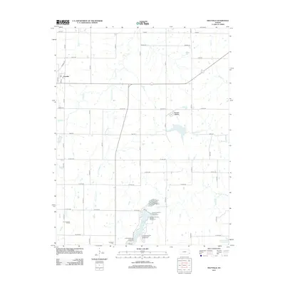 2012 Hiattville2012 Print · USGSHiattville and Pawnee Station appear in this early twenty-first-century survey of the Bourbon County countryside. Researchers can trace local landmarks like the Fairview School, the Farlington Cem, and the recreational grounds of Crawford State Park.
 - 2012 Map of Hammond, 2012 Print
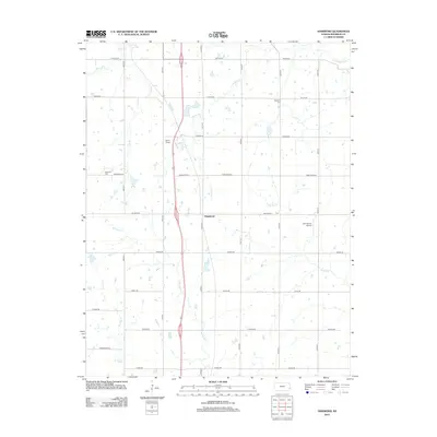 2012 Hammond2012 Print · USGSBourbon County is documented here in the early 2010s, showing the agricultural landscape surrounding the town of Hammond. Researchers can trace local landmarks and burial sites like W Liberty Cem, Emmerson Airport, and the winding path of the Little Osage River.
 - 2012 Map of Uniontown, 2012 Print
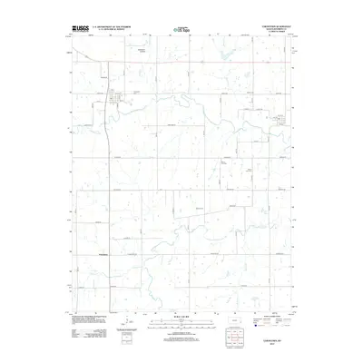 2012 Uniontown2012 Print · USGSBourbon County is documented here in the early 21st century, showing the rural structure of the eastern Kansas plains. Genealogists can locate several historic burial grounds like Mount Zion Cem and Marion Cem, or trace the settlement at Petersburg.
 - 2012 Map of Mapleton, 2012 Print
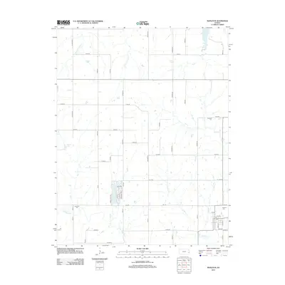 2012 Mapleton2012 Print · USGSMapleton and its surrounding townships are shown here in the early twenty-first century, revealing a quiet landscape of agricultural section lines and river bends. Genealogists can trace family footprints at Mapleton Cem and Stevenson Cem or follow the path of the Little Osage River.
 - 2012 Map of Hepler, 2012 Print
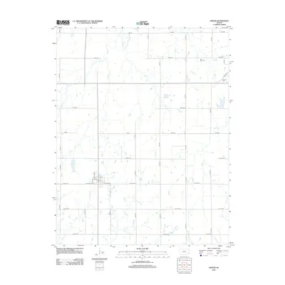 2012 Hepler2012 Print · USGSCrawford County at the start of the 2010s remains a landscape of deep-rooted agricultural patterns and prairie stream networks. Genealogists and local historians can trace family properties near Hepler and locate rural burial grounds like Saint Mary Cem and Hiattville Cem.
 - 2012 Map of Prescott, 2012 Print
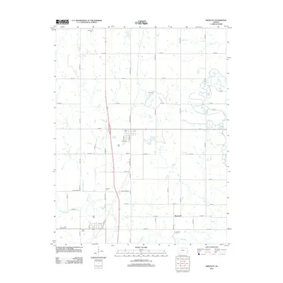 2012 Prescott2012 Print · USGSLinn County agriculture and local history converge in this early 21st-century study of the Prescott area. Genealogists can locate several family and community landmarks, including Battlefield Cem, Barnesville, and the banks of the Little Osage River.
 - 2012 Map of Moran SE, 2012 Print
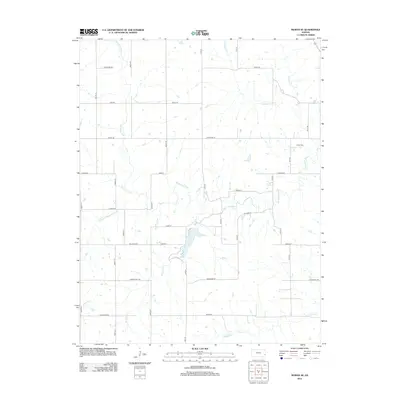 2012 Moran SE2012 Print · USGSSoutheast of Moran in the early 2010s, this portion of Bourbon County shows a classic prairie landscape defined by river bends and section-line roads. Genealogists and local historians can locate the Hatch Cem and trace the paths of the Marmaton River and Wolfpen Cr.
 - 2012 Map of Porterville, 2012 Print
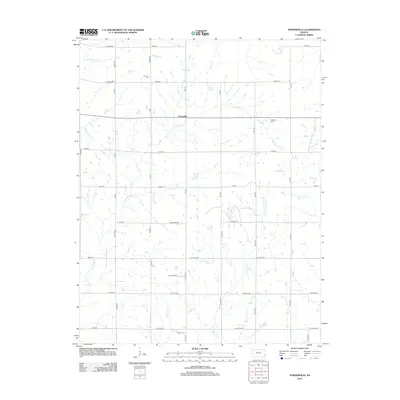 2012 Porterville2012 Print · USGSSoutheast Kansas farmland is depicted in detail here during the early twenty-first century. Genealogists can locate family burial grounds at Harmony Cem and Walnut Cem or trace the drainage of Flat Rock Cr and Pony Cr.
 - 2012 Map of Bronson, 2012 Print
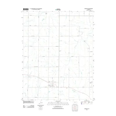 2012 Bronson2012 Print · USGSBronson and its surrounding Kansas townships are mapped here in the early twenty-first century as the agricultural landscape matured. Researchers can trace family roots at Bronson Cemetery and Ensminger Cemetery or locate old landmarks like the Post Office.
 - 2012 Map of Blue Mound, 2012 Print
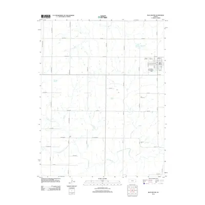 2012 Blue Mound2012 Print · USGSBlue Mound and its surrounding Linn County farmsteads are shown here during the early twenty-first century. Genealogists and local historians can trace family plots across several sites, including Blue Mound Cem and Osage Cem, or locate landmarks like the Blue Mound Reservoir.
 - 2014 Map of Hume, 2014 Print
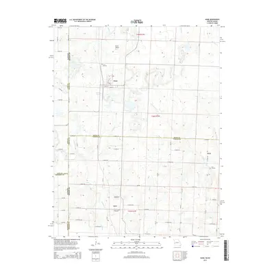 2014 Hume2014 Print · USGSThe Missouri-Kansas borderlands come into focus in the early twenty-first century, showing a rural landscape defined by historic family-named cemeteries and small settlements. Trace ancestral roots at Lawrence Cemetery or Underwood Cemetery, and explore the areas around Hume and Amos.
 - 2015 Map of Richards, 2015 Print
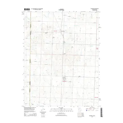 2015 Richards2015 Print · USGSThe Missouri-Kansas state line and the winding Little Osage River define this rural Vernon County landscape as it appeared in recent years. Genealogists and local historians can locate several historic burial sites, including Kaufman Cemetery, Richland Cemetery, and East Liberty Cemetery.
 - 2015 Map of Deerfield, 2015 Print
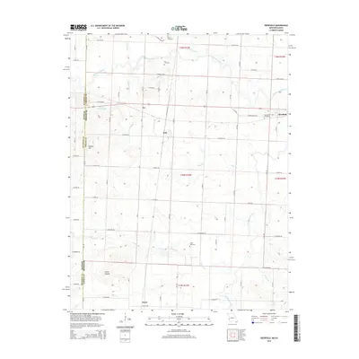 2015 Deerfield2015 Print · USGSWestern Missouri and the Kansas borderlands come into focus in this detailed survey of Vernon County. Researchers can trace the rural landscape through family landmarks and settlements like Eve, Swart, and the historic White Cemetery.
Showing maps 1-25 of 62
Top cities of Bourbon County
- Fort Scott historical maps
- Marmaton historical maps
- Bronson historical maps
- Uniontown historical maps
- Fulton historical maps
- Redfield historical maps
See more
Frequently asked questions
- What are the different types of historical maps available for Bourbon County?
- What is the oldest map of Bourbon County?
- Where can I purchase historical maps of Bourbon County for my home or office?
- Where can I download high-res historical maps of Bourbon County?
- Are there historical topographic maps available for Bourbon County?
- Is there historical aerial imagery available for Bourbon County?
- Where are historical maps of Bourbon County sourced from?