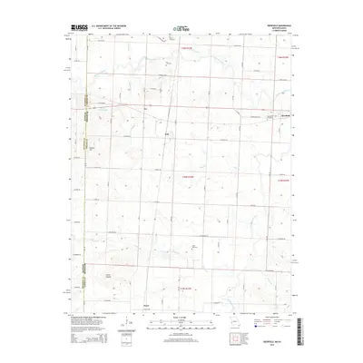
2015 Map of Deerfield
USGS Topo · Published 2015About this map
The Marmaton River and its tributaries carve a winding path through this corner of Vernon County, Missouri, just east of the Kansas state line. The landscape is defined by its rural crossroads and long-established burial grounds, such as White Cemetery and Cox Cemetery, which serve as anchors for the surrounding farming communities. Small settlements like Eve, Katy, and Swart mark the intersections of the gridded road system, reflecting the traditional rail and agricultural hubs of the region.
Find a feature on this map
49 named features on this map. Tap any name to fly to it.
Don’t see what you’re looking for? This feature index may not catch every label — zoom into the map to look around manually.
Map Details
Editions of this 2015 Deerfield Map
This is the sole edition of this map. No revisions or reprints were ever made.
Other maps of this area

1884 · Fort Scott
USGS Topo · 1:125,000

1886 · Nevada
USGS Topo · 1:125,000

1886 · Fort Scott
USGS Topo · 1:125,000

1893 · Fort Scott
USGS Topo · 1:125,000

1894 · Nevada
USGS Topo · 1:125,000

1938 · Metz
USGS Topo · 1:24,000

1939 · Metz
USGS Topo · 1:24,000

1939 · Deerfield
USGS Topo · 1:24,000

1939 · Moundville
USGS Topo · 1:24,000

1942 · Richards
USGS Topo · 1:24,000