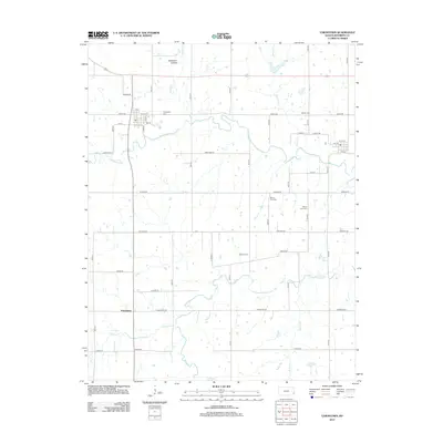
2012 Map of Uniontown
USGS Topo · Published 2012About this map
The Marmaton River and its numerous tributaries, including Paint Cr and Turkey Cr, define the agricultural landscape of Bourbon County. This 2012 survey illustrates the enduring rural grid of eastern Kansas, anchored by small settlements and family burial grounds that reflect generations of local residency. Genealogists will find several notable sites, such as Uniontown Cem, Woods Cem, and Mount Orum Cem, which are situated among the farm roads and rolling terrain. The small community of Petersburg sits in the southwest corner of the quadrangle near Hinton Cr, while the northern portion is marked by the distinctively named Opossum Hollow. Local infrastructure is mapped in detail, showing the integration of historic routes like Kansas Rd and Katy St with the natural drainage patterns of Walnut Cr and Bunion Cr.
Find a feature on this map
31 named features on this map. Tap any name to fly to it.
Don’t see what you’re looking for? This feature index may not catch every label — zoom into the map to look around manually.
Map Details
Editions of this 2012 Uniontown Map
This is the sole edition of this map. No revisions or reprints were ever made.
Other maps of this area

1884 · Fort Scott
USGS Topo · 1:125,000

1886 · Iola
USGS Topo · 1:125,000

1886 · Fort Scott
USGS Topo · 1:125,000

1893 · Fort Scott
USGS Topo · 1:125,000

1893 · Iola
USGS Topo · 1:125,000

1904 · Iola
USGS Topo · 1:125,000

1947 · Joplin
USGS Topo · 1:250,000

1948 · Erie
USGS Topo · 1:62,500

1948 · Girard
USGS Topo · 1:62,500

1949 · Erie
USGS Topo · 1:62,500