
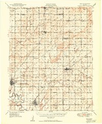
1949 Map of Erie
USGS Topo · Published 1949About this map
The Neosho River flows through the southwestern corner of this Kansas landscape, anchoring a region defined by agricultural townships and a burgeoning energy sector. In the late 1940s, the area around Erie and St Paul was a patchwork of small school districts and family cemeteries, reflecting a dense rural population before the mid-century trend of school consolidation. Features like School No 8, Raymond Sch, and Wannersburg Sch appear frequently across the townships, serving as community hubs alongside Friends Home Cem and Harmony Cem.
Find a feature on this map
72 named features on this map. Tap any name to fly to it.
Don’t see what you’re looking for? This feature index may not catch every label — zoom into the map to look around manually.
Map Details
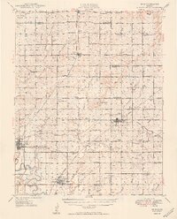
Editions of this 1949 Erie Map
3 editions found
Other maps of this area

1884 · Fort Scott
USGS Topo · 1:125,000

1886 · Joplin
USGS Topo · 1:125,000

1886 · Iola
USGS Topo · 1:125,000

1886 · Fort Scott
USGS Topo · 1:125,000

1886 · Parsons
USGS Topo · 1:125,000

1893 · Fort Scott
USGS Topo · 1:125,000

1893 · Iola
USGS Topo · 1:125,000

1893 · Parsons
USGS Topo · 1:125,000

1894 · Joplin
USGS Topo · 1:125,000

1904 · Iola
USGS Topo · 1:125,000