Old Maps of Bird City, Kansas for Hiking & Exploration
Hike through history with 18 historic maps of Bird City. Explore old trails, ghost towns, and forgotten backroads — perfect for outdoor adventurers and local explorers.
- Rediscover forgotten places: Map out old mining camps, roads, and footpaths that no longer exist on modern maps.
- Layer with modern tools: Combine with LiDAR or satellite views to plan hikes through historical terrain.
- Made for exploration: Popular among hikers, overlanders, and local history lovers.
Use these maps to find adventure and explore the hidden past of Bird City.
Bird City, KS maps
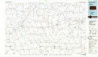
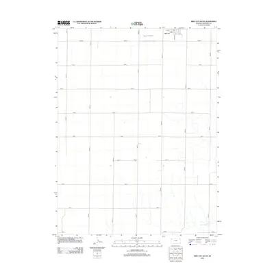
(18)- 1951 Map of Bird City North
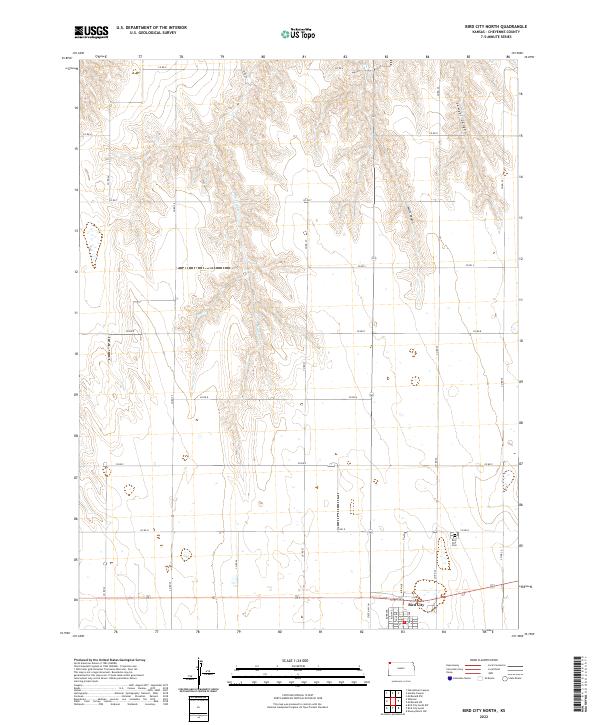
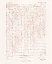 1951 Bird City North1951 Print · USGSHigh Plains ranching and rail life define Cheyenne County in the early fifties, where canyons and draws crisscross the prairie. Genealogists can trace rural school districts like White Lily Sch and Mt Hope Sch or find family plots at Barley Cem.2 unique versions available
 - 1951 Map of Bird City South
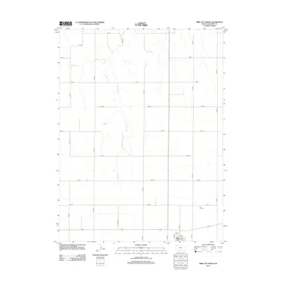
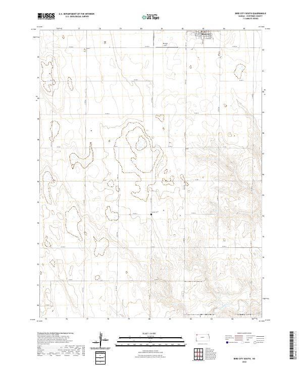
 1951 Bird City South1951 Print · USGSThe northern Kansas high plains come alive in this mid-century survey of the settlements surrounding Bird City and the Cheyenne Co Sherman Co line. Researchers can trace the exact locations of rural schoolhouses and cemeteries like South Star Sch and Wheeler Cem.2 unique versions available
 - 1954 Map of Goodland, 1976 Print
 1954 Goodland1976 Print · USGSNorthwest Kansas comes into focus during the mid-1950s, showing a landscape defined by its vital river forks and thriving rail towns. Researchers can trace the path of the Union Pacific through Colby or locate historic parks like Sheridan Co State Park.
 - 1956 Map of Goodland
 1956 Goodland1956 Print · USGSThe high plains of Northwest Kansas in the mid-fifties reveal a landscape of river-fed agriculture and expanding rail networks. Genealogists and historians can trace the development of county seats like Goodland and Atwood or locate landmarks such as the Arikaree Breaks.
 - 1957 Map of Goodland
 1957 Goodland1957 Print · USGSNorthwest Kansas in the mid-1950s shows a landscape of high plains agriculture and vital rail junctions. Researchers can trace the river-valley settlements from Goodland to Oberlin and follow the paths of the Union Pacific and Sappa Creek.2 unique versions available
 - 1976 Map of Bird City North, 1978 Print
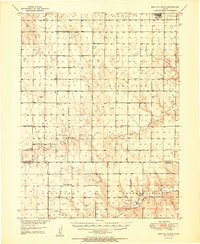
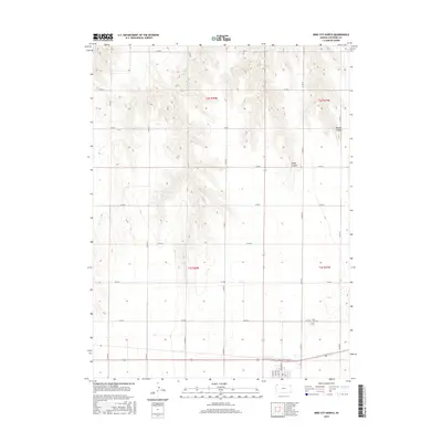
 1976 Bird City North1978 Print · USGSBird City in the mid-1970s is a center of commerce and transport along the High Plains. Genealogists and local historians can trace the Burlington Northern rail corridor and find local landmarks like the Bird City Cem and Big Timber Creek.
 - 1981 Map of Bird City South
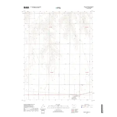
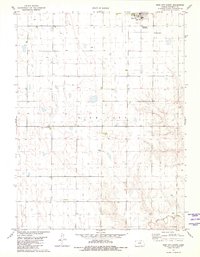 1981 Bird City South1981 Print · USGSHigh Plains agriculture and aviation intersect in this early 1980s survey of Cheyenne County. Researchers can trace local heritage at Greisler Cem or locate vintage infrastructure like the Community Landing Field and Gilliland Landing Strip.
 - 1985 Map of St. Francis
 1985 St. Francis1985 Print · USGSNorthwest Kansas in the mid-1980s shows a classic High Plains settlement pattern anchored by the Burlington Northern rail line. Genealogists and researchers can trace local landmarks from St Francis to Atwood, including rural aviation sites like Bird City's landing field and the St Francis State Wildlife Management Area.2 unique versions available
 - 2009 Map of Bird City North, 2009 Print
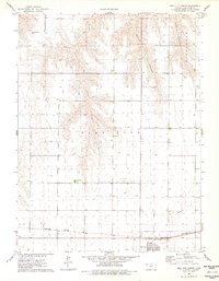
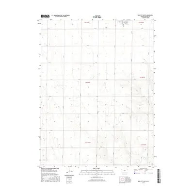
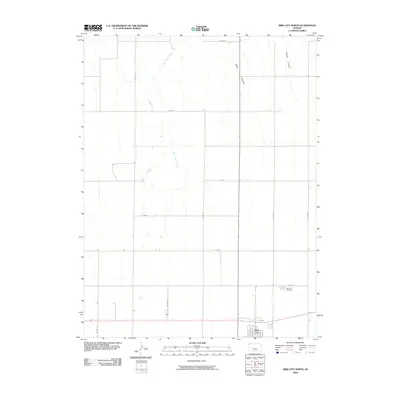 2009 Bird City North2009 Print · USGSCovers Bird City, including Cheyenne County, United States, and other nearby areas
 - 2009 Map of Bird City South, 2009 Print
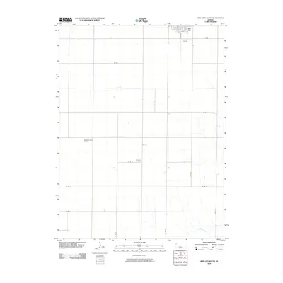 2009 Bird City South2009 Print · USGSCovers Bird City, including Cheyenne County, United States, and other nearby areas
 - 2012 Map of Bird City North, 2012 Print
 2012 Bird City North2012 Print · USGSCovers Bird City, including Cheyenne County, United States, and other nearby areas
 - 2012 Map of Bird City South, 2012 Print
 2012 Bird City South2012 Print · USGSCovers Bird City, including Cheyenne County, United States, and other nearby areas
 - 2015 Map of Bird City North, 2015 Print
 2015 Bird City North2015 Print · USGSCovers Bird City, including Cheyenne County, United States, and other nearby areas
 - 2015 Map of Bird City South, 2015 Print
 2015 Bird City South2015 Print · USGSCovers Bird City, including Cheyenne County, United States, and other nearby areas
 - 2018 Map of Bird City North, 2018 Print
 2018 Bird City North2018 Print · USGSCovers Bird City, including Cheyenne County, United States, and other nearby areas
 - 2018 Map of Bird City South, 2018 Print
 2018 Bird City South2018 Print · USGSCovers Bird City, including Cheyenne County, United States, and other nearby areas
 - 2022 Map of Bird City South, 2022 Print
 2022 Bird City South2022 Print · USGSHigh Plains agriculture and the southern edge of Bird City are documented in this recent survey of northwest Kansas. Genealogists and local historians can locate Greisler Cem and trace the drainage of Little Beaver Cr across the township lines.
 - 2022 Map of Bird City North, 2022 Print
 2022 Bird City North2022 Print · USGSCheyenne County as it appeared in the early 2020s shows a landscape defined by the high plains grid and deep canyon breaks. Researchers can trace the town layout of Bird City and locate the Bird City Cem or the winding path of Big Timber Cr.
End of results
Showing maps 1-18 of 18
Top cities near Bird City
Frequently asked questions
- What are the different types of historical maps available for Bird City?
- What is the oldest map of Bird City?
- Where can I purchase historical maps of Bird City for my home or office?
- Where can I download high-res historical maps of Bird City?
- Are there historical topographic maps available for Bird City?
- Is there historical aerial imagery available for Bird City?
- Where are historical maps of Bird City sourced from?