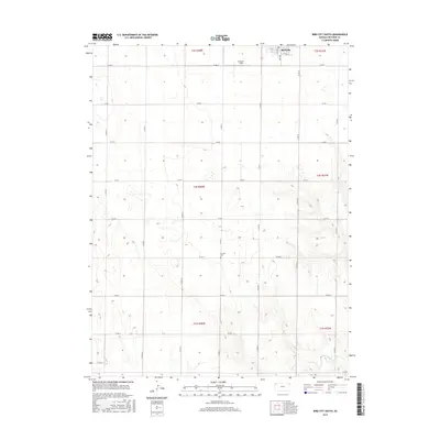
2015 Map of Bird City South
USGS Topo · Published 2015About this map
Bird City anchors the northern edge of this High Plains landscape, where the town's street grid meets the expansive agricultural reaches of Cheyenne County. The survey illustrates the rigid precision of the Public Land Survey System, with a nearly perfect grid of local roads like Co RD M and Co RD 27 defining the section lines. This rural pattern is broken only by the natural drainage of Little Beaver Cr, which winds through the southeastern corner of the quadrangle. Local history and genealogy interests are represented by the Greisler Cem and Bressler Field, providing specific points of reference for families and land use in this western Kansas territory. The map effectively documents the intersection of human settlement and the natural prairie environment during the early 21st century.
Find a feature on this map
26 named features on this map. Tap any name to fly to it.
Don’t see what you’re looking for? This feature index may not catch every label — zoom into the map to look around manually.
Map Details
Editions of this 2015 Bird City South Map
This is the sole edition of this map. No revisions or reprints were ever made.
Other maps of this area

1950 · Mc Donald
USGS Topo · 1:62,500

1951 · Bird City North
USGS Topo · 1:62,500

1951 · Mc Donald
USGS Topo · 1:62,500

1951 · Bird City South
USGS Topo · 1:62,500

1951 · Dewey Ranch
USGS Topo · 1:62,500

1954 · Goodland
USGS Topo · 1:250,000

1956 · Goodland
USGS Topo · 1:250,000

1957 · Goodland
USGS Topo · 1:250,000

1976 · Bird City North
USGS Topo · 1:24,000
1978 · Wheeler
USGS Topo · 1:24,000