2000-2009 Maps of Clark County, Kansas
Explore 12 historic maps of Clark County from 2000-2009. These maps offer a rare glimpse into what life looked like during the 2000s — showing old roads, neighborhoods, homes, and landmarks that have changed or disappeared over time.
Whether you're researching your family's past, planning a metal detecting trip, or studying how Clark County's landscape evolved across the 2000s, these high-resolution maps are a powerful tool for exploring the history of this region.
- Focus on a specific era: All maps on this page are from the 2000s, giving you a focused view of this time period.
- See what’s changed: Compare century-old streets, trails, and buildings to today's modern landscape using overlays and satellite layers.
- Research with precision: Use these maps for genealogy, historical research, land use analysis, or educational projects.
- View, download, or print: Maps are fully viewable online in high resolution, and can be downloaded or printed for your own records.
Start exploring Clark County's history through authentic maps from the 2000s. This is your window into the past.
Clark County, KS maps
(12)- 2009 Map of Lexington, 2009 Print
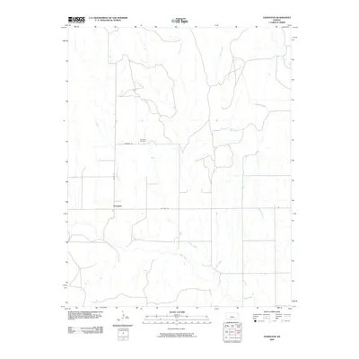 2009 Lexington2009 Print · USGSLexington and its surrounding prairie landscape are documented in the early 21st century, centered on the historic Lexington Cemetery. Researchers can trace old road alignments like Old Hwy 34 and the drainage of Bluff Creek.
 - 2009 Map of Bloom SE, 2009 Print
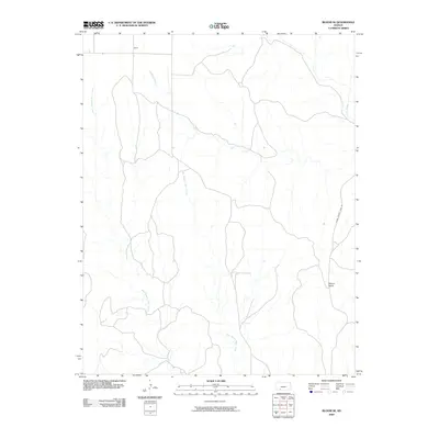 2009 Bloom SE2009 Print · USGSClark County, Kansas, at the end of the first decade of the 2000s shows a landscape of expansive ranchland and deep creek drainages. Researchers can trace the path of Clark County Lake Rd toward Mount Nebo or locate the settlement of Letitia.
 - 2009 Map of Bloom SW, 2009 Print
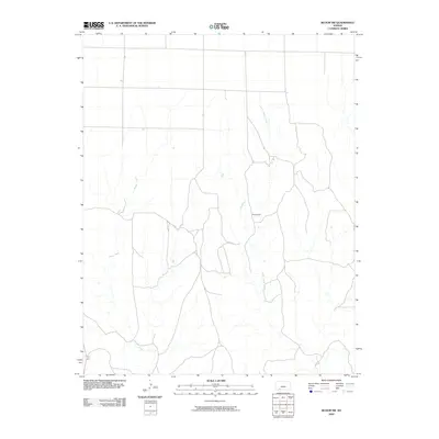 2009 Bloom SW2009 Print · USGSClark County, Kansas, is captured here in the early twenty-first century, showing the rural landscape south of Bloom. Researchers can trace the elevation changes at Sugarloaf and follow the branching paths of Little Sandy Creek and Keiger Creek.
 - 2009 Map of Mount Jesus, 2009 Print
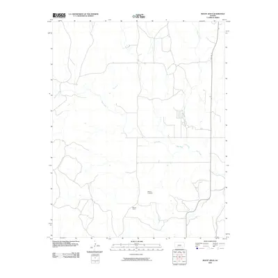 2009 Mount Jesus2009 Print · USGSClark County at the close of the first decade of the millennium shows a landscape defined by the prominent heights of Mount Jesus and Mount Lookout. Genealogists and researchers can trace the local drainage system including Bluff Creek and Granger Creek alongside State Hwy 34.
 - 2009 Map of Turkey Creek, 2009 Print
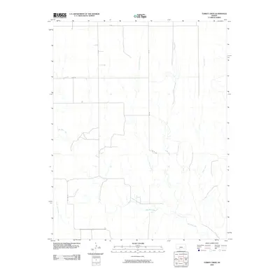 2009 Turkey Creek2009 Print · USGSKiowa County rural township life is preserved in this early twenty-first-century survey of the high plains drainage system. Genealogists and researchers can trace the paths of Turkey Creek and West Kiowa Creek alongside arterial routes like Old Hwy 34.
 - 2009 Map of Simmons Creek, 2009 Print
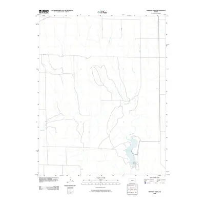 2009 Simmons Creek2009 Print · USGSFord County at the end of the first decade of the millennium shows a landscape defined by water management and a rural road grid. Researchers can locate the footprint of the Clark County State Lake and trace the paths of Bluff Creek and Simmons Creek.
 - 2009 Map of Bloom, 2009 Print
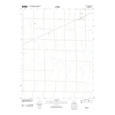 2009 Bloom2009 Print · USGSThe community of Bloom and the surrounding Ford County plains are captured here in the early twenty-first century. Genealogists and local historians can trace the local landscape around Bloom Cemetery, Shelor Airport, and the banks of Bluff Creek.
 - 2009 Map of Mount Jesus NW, 2009 Print
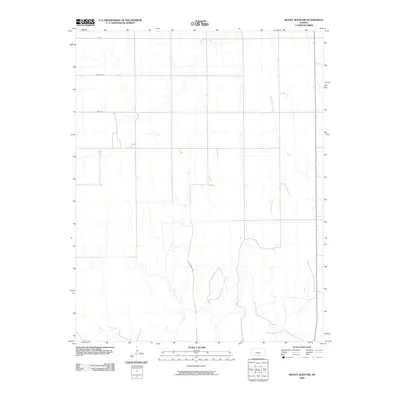 2009 Mount Jesus NW2009 Print · USGSFord County, Kansas, is shown in the early 2000s as a landscape of wide-open spaces and systematic agricultural grid lines. Researchers can trace the paths of seasonal waterways like Fish Creek and Rattlesnake Creek or follow the route of Mt Jesus Rd through the prairie.
 - 2009 Map of Ashland, 2009 Print
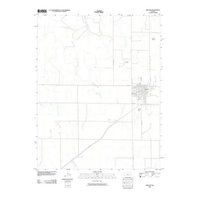 2009 Ashland2009 Print · USGSThe Clark County seat comes into focus during the early twenty-first century, showing the town's established grid and regional landmarks. Genealogists and historians can trace local sites like the Clark County Fairgrounds, Harold Krier Field, and the Ashland Oil Field.
 - 2009 Map of Ashland NW, 2009 Print
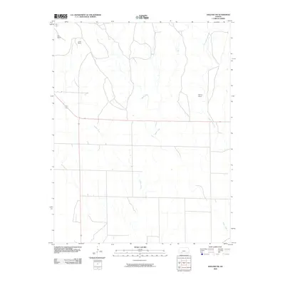 2009 Ashland NW2009 Print · USGSThe Clark County high plains appear as a quiet expanse of ranch land and prairie in the first decade of the new millennium. Researchers can trace natural landmarks like Beckys Knob or the unique geological depressions of Big Basin and Little Basin.
 - 2009 Map of Sugarloaf, 2009 Print
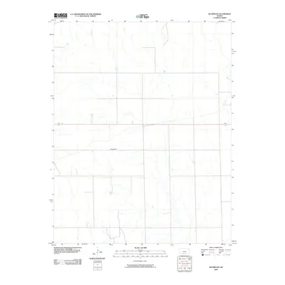 2009 Sugarloaf2009 Print · USGSComanche County during the early twenty-first century reveals a quiet agricultural landscape defined by its namesake high point. Local history researchers can trace the rural road network surrounding Sugarloaf and the drainage patterns that have shaped ranching in this part of Kansas.
 - 2009 Map of Sitka, 2009 Print
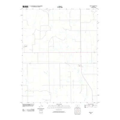 2009 Sitka2009 Print · USGSThe Clark County plains around the small community of Sitka are shown here during the late 2000s. Researchers can trace the drainage of Day Creek or locate the Saint Josephs and Highland Cemetery among the ranch roads.
End of results
Showing maps 1-12 of 12
Top cities of Clark County
- Ashland historical maps
- Minneola historical maps
- Englewood historical maps
- Sitka historical maps
- Lexington historical maps
Frequently asked questions
- What are the different types of historical maps available for Clark County?
- What is the oldest map of Clark County?
- Where can I purchase historical maps of Clark County for my home or office?
- Where can I download high-res historical maps of Clark County?
- Are there historical topographic maps available for Clark County?
- Is there historical aerial imagery available for Clark County?
- Where are historical maps of Clark County sourced from?