2010s Maps of Clark County, Kansas
Explore 76 historic maps of Clark County from the 2010s. These maps offer a rare glimpse into what life looked like during the 2010s — showing old roads, neighborhoods, homes, and landmarks that have changed or disappeared over time.
Whether you're researching your family's past, planning a metal detecting trip, or studying how Clark County's landscape evolved across the 2010s, these high-resolution maps are a powerful tool for exploring the history of this region.
- Focus on a specific era: All maps on this page are from the 2010s, giving you a focused view of this time period.
- See what’s changed: Compare century-old streets, trails, and buildings to today's modern landscape using overlays and satellite layers.
- Research with precision: Use these maps for genealogy, historical research, land use analysis, or educational projects.
- View, download, or print: Maps are fully viewable online in high resolution, and can be downloaded or printed for your own records.
Start exploring Clark County's history through authentic maps from the 2010s. This is your window into the past.
Clark County, KS maps
(76)- 2010 Map of Proffitt Lake, 2010 Print
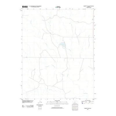 2010 Proffitt Lake2010 Print · USGSMeade County at the start of the twenty-first century reveals a landscape shaped by the High Plains drainage network. Researchers can trace the winding paths of Big Sandy Creek and Indian Creek as they converge near Proffitt Lake.
 - 2010 Map of Minneola, 2010 Print
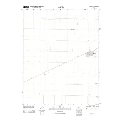 2010 Minneola2010 Print · USGSMinneola and the surrounding Clark County plains are shown here at the start of the decade, anchored by the town's distinct residential grid. Genealogists and local researchers can trace family landmarks like the Minneola Cemetery or the site of the Kennedy Glider Port along US Hwy 54.
 - 2010 Map of Fowler SE, 2010 Print
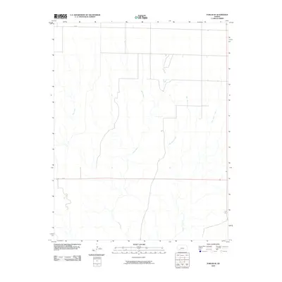 2010 Fowler SE2010 Print · USGSMeade County, Kansas, is shown at the start of the 2010s, defined by its vast agricultural grid and winding prairie drainages. Researchers can trace local watercourses like Johns Creek and the intersection of H Rd and N Rd across this rural landscape.
 - 2010 Map of Ashland SE, 2010 Print
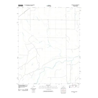 2010 Ashland SE2010 Print · USGSThe Cimarron River valley in Clark County is shown in detail at the start of the 2010s, revealing a landscape defined by its prairie drainage. Researchers can trace the paths of Big Sandy Creek, Stink Creek, and the Shortgrass Prairie Trl as they cut across this rural corridor.
 - 2010 Map of Buffalo NW, 2010 Print
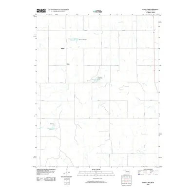 2010 Buffalo NW2010 Print · USGSThe northern reaches of Harper County come into focus during the early twenty-first century, showing a landscape of high-plains ranching and water management. Genealogists and local historians can trace the area around Willard and the Willard Cemetery, or follow the winding course of Snake Creek.
 - 2010 Map of Englewood, 2010 Print
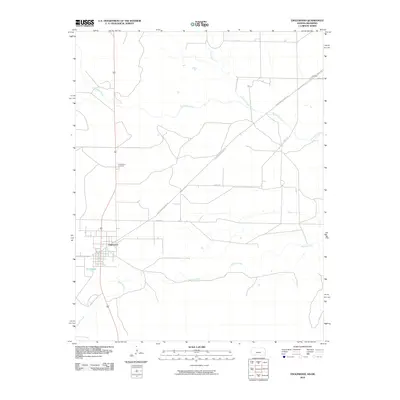 2010 Englewood2010 Print · USGSEnglewood and the surrounding Clark County ranch lands are documented here in the early twenty-first century. Genealogists and local historians can trace the town site near Perry Lake and locate burials at Englewood Cemetery.
 - 2010 Map of Buffalo NE, 2010 Print
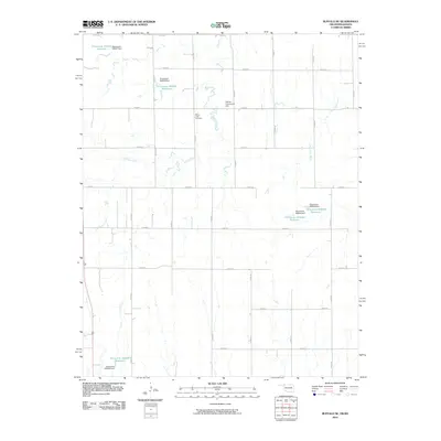 2010 Buffalo NE2010 Print · USGSHarper County ranchland at the Oklahoma-Kansas border is shown in the early twenty-first century as a landscape of rural roads and managed water. Researchers can locate landmarks like Paruna Community Hall and Willow Creek Cemetery among the Willow Creek drainages.
 - 2010 Map of Trout Creek, 2010 Print
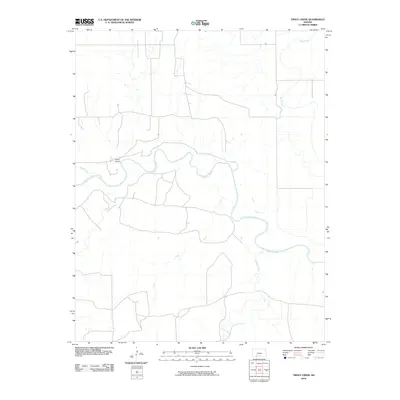 2010 Trout Creek2010 Print · USGSComanche County in the early twenty-first century remains a landscape defined by the winding Cimarron River and its essential tributaries. Map collectors and researchers can trace the rural infrastructure of the region, from the Shupe Airport to the courses of Bluff Creek and Trout.
 - 2010 Map of Sitka SW, 2010 Print
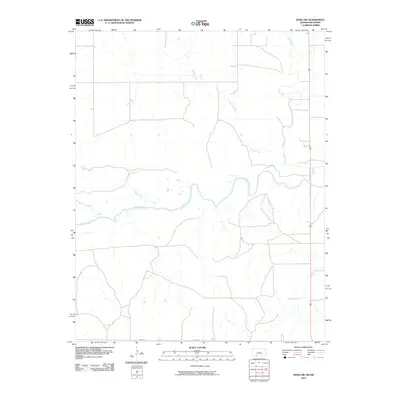 2010 Sitka SW2010 Print · USGSThe Kansas-Oklahoma borderlands appear as a quiet landscape of prairie rivers and remote section-line roads in this 2010 survey. Researchers can trace the winding course of the Cimarron River and its various tributaries like Bear Creek and Snake Creek.
 - 2010 Map of Mount Helen, 2010 Print
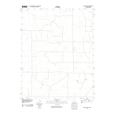 2010 Mount Helen2010 Print · USGSThe Oklahoma Panhandle is shown in the early twenty-first century, featuring the rural landscape around Mount Helen. Genealogists and historians can trace local water sources and section-line routes like Fivemile Creek and EE Rd across this part of Beaver County.
 - 2012 Map of Ashland NW, 2012 Print
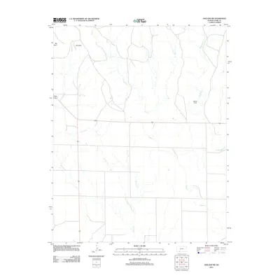 2012 Ashland NW2012 Print · USGSThe open prairie of Clark County is shown here in the early twenty-first century, centered on the intersection of U.S. Route 160 and 283. Local historians can trace the topography of Big Basin or locate landmarks like Beckys Knob and Keiger Cr.
 - 2012 Map of Sitka, 2012 Print
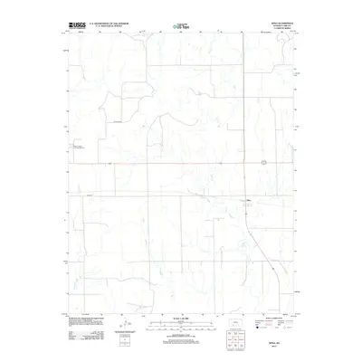 2012 Sitka2012 Print · USGSThe Clark County prairie around the turn of the millennium remains a landscape of quiet rural outposts and winding creek beds. Genealogists and local historians can locate Saint Josephs and Highland Cem and trace the drainage of Day Cr near Sitka.
 - 2012 Map of Bloom, 2012 Print
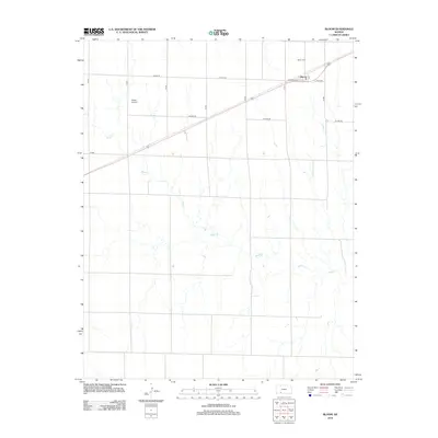 2012 Bloom2012 Print · USGSThe community of Bloom and its surrounding prairie land are captured here in the early twenty-first century. Researchers can trace local lineage at the Bloom Cem and see the modern layout of rural life near Shelor Airport and the winding Bluff Cr.
 - 2012 Map of Turkey Creek, 2012 Print
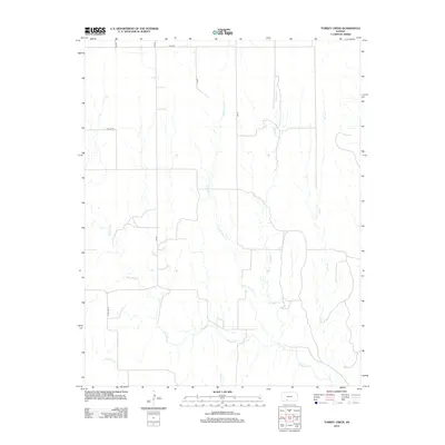 2012 Turkey Creek2012 Print · USGSKiowa County, Kansas, is shown here in the early twenty-first century, featuring a landscape defined by traditional section roads and prairie waterways. Genealogists and researchers can trace local routes like Old Hwy 34 and the winding course of Turkey Cr.
 - 2012 Map of Fowler SE, 2012 Print
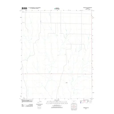 2012 Fowler SE2012 Print · USGSMeade County, Kansas, in the early 2010s remains a landscape of high prairie and systematic section roads. Genealogists and local historians can locate Golden Plains Cem or trace the winding courses of Johns Cr and W Indian Cr.
 - 2012 Map of Sitka SW, 2012 Print
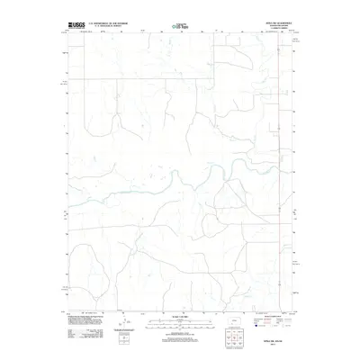 2012 Sitka SW2012 Print · USGSThe Kansas-Oklahoma borderlands are depicted in this recent survey, showcasing a landscape defined by the winding Cimarron River. Researchers can trace the prairie drainage of Spring Cr, Day Cr, and Snake Cr across the high plains.
 - 2012 Map of Sugarloaf, 2012 Print
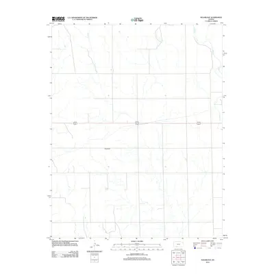 2012 Sugarloaf2012 Print · USGSComanche County, Kansas, is shown in the early twenty-first century, highlighting the intersection of natural landmarks and major rural thoroughfares. Genealogists and local historians can locate Sugarloaf and trace the paths of Bluff Cr and Buzzard Cr as they weave through the landscape.
 - 2012 Map of Mount Helen, 2012 Print
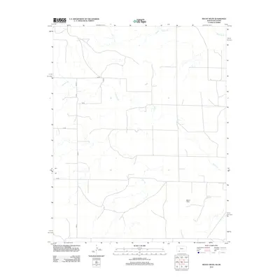 2012 Mount Helen2012 Print · USGSBeaver County at the Oklahoma-Kansas border is shown here as it appeared in the early twenty-first century. Researchers can trace the section-line roads and drainage patterns around Mount Helen, Wells Reservoir, and Fivemile Cr.
 - 2012 Map of Proffitt Lake, 2012 Print
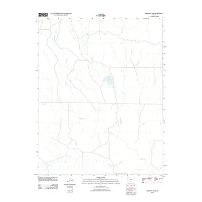 2012 Proffitt Lake2012 Print · USGSMeade County, Kansas, is documented in the early twenty-first century as a landscape of wide-open plains and vital watercourses. Researchers can trace the paths of Big Sandy Cr and Johns Cr or locate the namesake Proffitt Lake.
 - 2012 Map of Bloom SE, 2012 Print
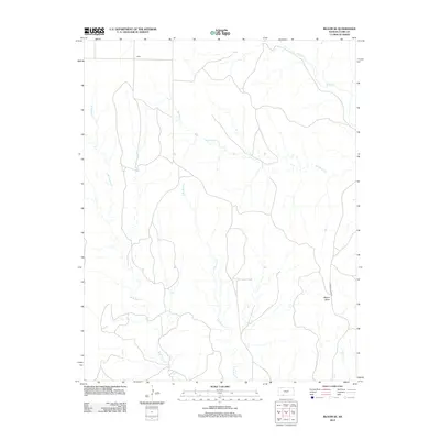 2012 Bloom SE2012 Print · USGSThe rural expanse of Clark County is documented in the early twenty-first century, showing the intricate drainage of the Kansas plains. Genealogists and land researchers can trace the reaches of Bluff Cr, locate the settlement at Letitia, and identify landmarks like Mount Nebo.
 - 2012 Map of Englewood, 2012 Print
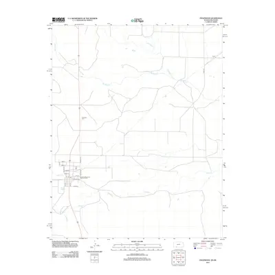 2012 Englewood2012 Print · USGSThe Kansas-Oklahoma border comes alive in this early twenty-first century survey, showcasing the rural landscapes of Clark County. Researchers can trace local landmarks like Englewood Cemetery, the settlement of Acres, and the waters of Perry Lake.
 - 2012 Map of Mount Jesus, 2012 Print
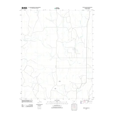 2012 Mount Jesus2012 Print · USGSClark County, Kansas, is documented here in the early twenty-first century, showcasing a sparsely populated ranching and prairie landscape. Researchers can trace the drainages of Bluff Cr and identify local high points like Mount Jesus and Mount Lookout.
 - 2012 Map of Simmons Creek, 2012 Print
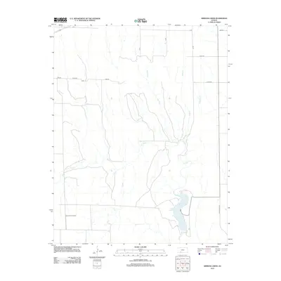 2012 Simmons Creek2012 Print · USGSFord County, Kansas, is shown in the early twenty-first century as an agricultural landscape shaped by its vital waterways. Researchers can trace the drainage of Bluff Cr into Clark County State Lake or locate the Esplund Farm Airport among the section roads.
 - 2012 Map of Bloom SW, 2012 Print
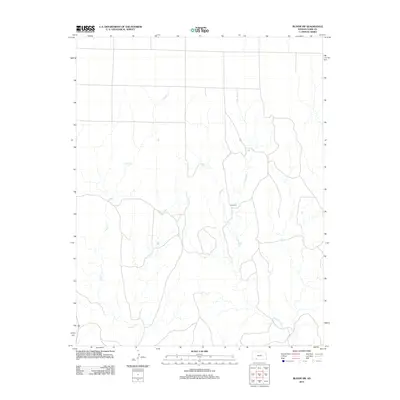 2012 Bloom SW2012 Print · USGSIn the open ranch lands of Clark County during the early twenty-first century, the prairie landscape is defined by its natural watercourses and few landmarks. Genealogists and local historians can trace the paths of Little Sandy Cr and Keiger Cr or locate the distinct rise of Sugarloaf.
 - 2012 Map of Trout Creek, 2012 Print
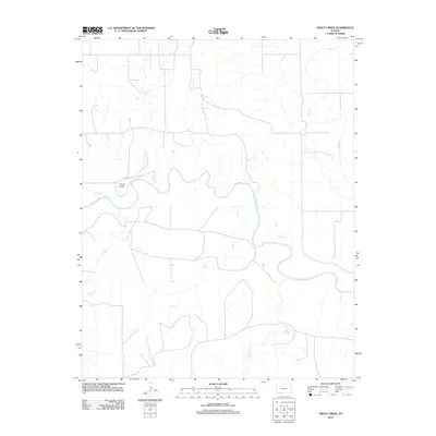 2012 Trout Creek2012 Print · USGSComanche County at the start of the decade shows a quiet rural landscape centered on the winding Cimarron River. Researchers can trace the local drainage system and find specific landmarks like the Shupe Airport and the confluence of Snake Cr.
Showing maps 1-25 of 76
Top cities of Clark County
- Ashland historical maps
- Minneola historical maps
- Englewood historical maps
- Sitka historical maps
- Lexington historical maps
Frequently asked questions
- What are the different types of historical maps available for Clark County?
- What is the oldest map of Clark County?
- Where can I purchase historical maps of Clark County for my home or office?
- Where can I download high-res historical maps of Clark County?
- Are there historical topographic maps available for Clark County?
- Is there historical aerial imagery available for Clark County?
- Where are historical maps of Clark County sourced from?