Old Maps of Coldwater, Kansas for Academic Research
Study the evolution of Coldwater with 16 high-resolution historic maps. Whether you're teaching, researching, or modeling changes in land use, these maps provide essential visual documentation of urban, environmental, and geographic change.
- Analyze long-term change: Track patterns in development, transportation, and natural features.
- Ideal for environmental or urban studies: Support academic projects with primary historical map data.
- Use in the classroom or lab: Educators and researchers rely on these maps to bring historical context to life.
These maps are a powerful tool for teaching, research, and visualizing how Coldwater has changed over the decades.
Coldwater, KS maps
(16)- 1892 Map of Coldwater
 1892 Coldwater1892 Print · USGSComanche County during the late nineteenth-century settlement boom shows a network of emerging prairie towns and cattle-shipping rail lines. Genealogists can trace early homestead locations near Coldwater, Nescatunga, and along the banks of Mule Creek.5 unique versions available
 - 1955 Map of Pratt, 1968 Print
 1955 Pratt1968 Print · USGSSouth-central Kansas during the mid-fifties presents a landscape of sprawling oil fields and critical rail junctions. Researchers can trace the paths of the Atchison Topeka and Santa Fe railroad or locate local landmarks like the Blue Ridge Community House and Camp Carlisle.3 unique versions available
 - 1959 Map of Pratt
 1959 Pratt1959 Print · USGSSouth-central Kansas thrived as a rail and agricultural hub in the late fifties, where the Arkansas River meets a vast grid of section roads. Researchers can trace the path of the Missouri Pacific railroad through settlements like Turon and Stafford, or locate family landmarks like the Prairie Oak School.2 unique versions available
 - 1979 Map of Coldwater, 1980 Print
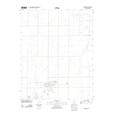
 1979 Coldwater1980 Print · USGSColdwater and the surrounding Comanche County prairie are shown here in the late seventies, centered on a thriving rail-and-ranching hub. Genealogists and local historians can locate Crown Hill Cemetery, the High Sch, and the winding path of Cavalry Creek.
 - 1979 Map of Protection NE, 1980 Print
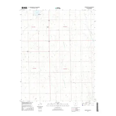
 1979 Protection NE1980 Print · USGSComanche County's rural townships and water features are documented here in the late seventies. Genealogists and land researchers can trace property boundaries and landmarks like Avilla Cem, Camp Lark, and the Gas Wells north of Nescatunga Creek.
 - 1985 Map of Protection
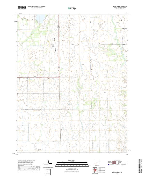
 1985 Protection1985 Print · USGSThe Kansas-Oklahoma borderlands in the 1980s are defined by agricultural settlements and historical survey lines. Genealogists and historians can trace the Old Indian Treaty Boundary and locate family names near Crown Hill Cem or the town of Protection.2 unique versions available
 - 2009 Map of Protection NE, 2009 Print
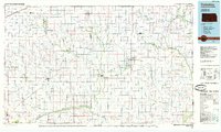
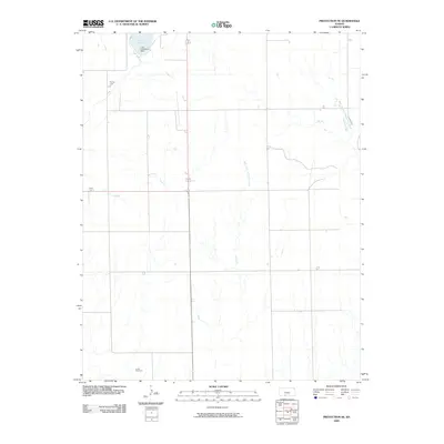 2009 Protection NE2009 Print · USGSCovers Coldwater, including Comanche County, United States, and other nearby areas
 - 2009 Map of Coldwater, 2009 Print
 2009 Coldwater2009 Print · USGSCovers Coldwater, including Comanche County, United States, and other nearby areas
 - 2012 Map of Protection NE, 2012 Print
 2012 Protection NE2012 Print · USGSCovers Coldwater, including Comanche County, United States, and other nearby areas
 - 2012 Map of Coldwater, 2012 Print
 2012 Coldwater2012 Print · USGSCovers Coldwater, including Comanche County, United States, and other nearby areas
 - 2015 Map of Protection NE, 2015 Print
 2015 Protection NE2015 Print · USGSCovers Coldwater, including Comanche County, United States, and other nearby areas
 - 2016 Map of Coldwater, 2016 Print
 2016 Coldwater2016 Print · USGSCovers Coldwater, including Comanche County, United States, and other nearby areas
 - 2018 Map of Protection NE, 2018 Print
 2018 Protection NE2018 Print · USGSCovers Coldwater, including Comanche County, United States, and other nearby areas
 - 2018 Map of Coldwater, 2018 Print
 2018 Coldwater2018 Print · USGSCovers Coldwater, including Comanche County, United States, and other nearby areas
 - 2022 Map of Protection NE, 2022 Print
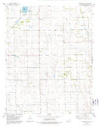
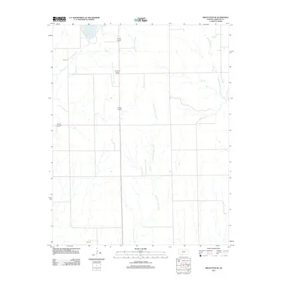
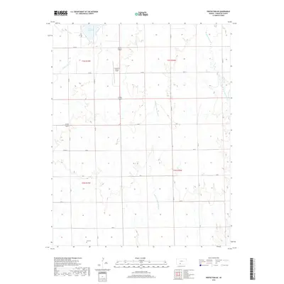
 2022 Protection NE2022 Print · USGSComanche County, Kansas, is shown here in the early twenty-first century, defined by its high plains agricultural grid and meandering river systems. Genealogists and local historians can locate the Avilla Cem and trace the paths of the Salt Fork Arkansas River and Cavalry Cr.
 - 2022 Map of Coldwater, 2022 Print
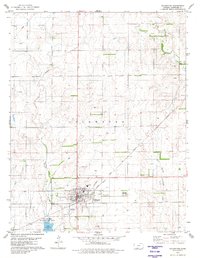
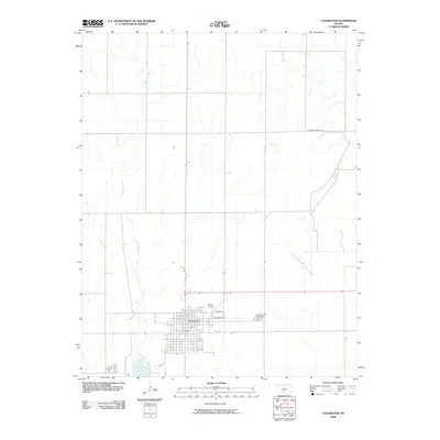
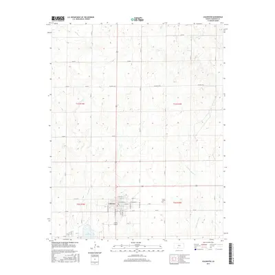
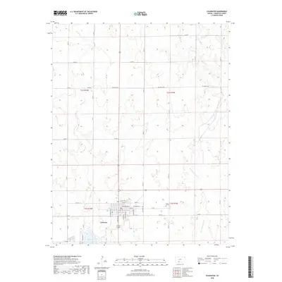
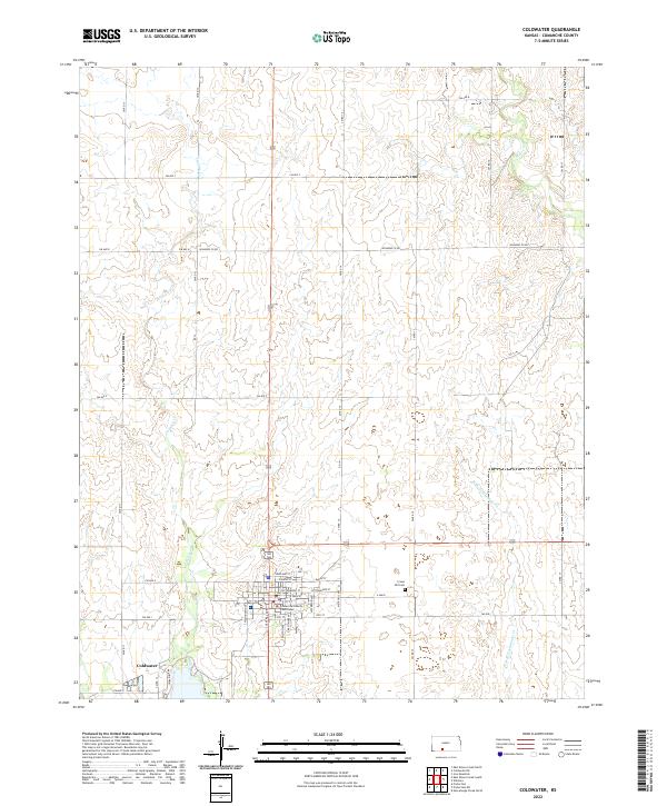 2022 Coldwater2022 Print · USGSThe High Plains of Comanche County are centered here at the town of Coldwater during the early twenty-first century. Genealogists and local historians can trace the town's street grid to the Comanche County Courthouse and locate the nearby Crown Hill Cemetery.
End of results
Showing maps 1-16 of 16
Top cities near Coldwater
Frequently asked questions
- What are the different types of historical maps available for Coldwater?
- What is the oldest map of Coldwater?
- Where can I purchase historical maps of Coldwater for my home or office?
- Where can I download high-res historical maps of Coldwater?
- Are there historical topographic maps available for Coldwater?
- Is there historical aerial imagery available for Coldwater?
- Where are historical maps of Coldwater sourced from?