Old Maps of Pittsburg, Kansas for Hiking & Exploration
Hike through history with 24 historic maps of Pittsburg. Explore old trails, ghost towns, and forgotten backroads — perfect for outdoor adventurers and local explorers.
- Rediscover forgotten places: Map out old mining camps, roads, and footpaths that no longer exist on modern maps.
- Layer with modern tools: Combine with LiDAR or satellite views to plan hikes through historical terrain.
- Made for exploration: Popular among hikers, overlanders, and local history lovers.
Use these maps to find adventure and explore the hidden past of Pittsburg.
Pittsburg, KS maps
(24)- 1886 Map of Joplin
 1886 Joplin1886 Print · USGSThe Missouri-Kansas borderlands were rapidly developing in the late nineteenth century as rail lines and river valleys shaped new settlements. Researchers can trace the early footprints of towns like Columbus and Pittsburg or locate vanished points like Georgia City and Litchfield.
 - 1894 Map of Joplin
 1894 Joplin1894 Print · USGSSoutheastern Kansas and southwestern Missouri met at a crossroads of industry and rail during the late nineteenth century. Genealogists can trace the early streets of Pittsburg and Joplin or find vanished rail stops like Stippville and Stilson.6 unique versions available
 - 1945 Map of Pittsburg
 1945 Pittsburg1945 Print · USGSSoutheast Kansas at the end of the war reveals a landscape dominated by the coal industry and rural community life. Researchers can trace the extensive rail networks of the St Louis San Francisco or locate old schoolhouses like Owsley Sch and Bird Sch.2 unique versions available
 - 1947 Map of Joplin, 1954 Print
 1947 Joplin1954 Print · USGSThe borderlands of Missouri, Kansas, and Oklahoma are shown here during the late 1940s, a period of heavy industrial and military activity. Researchers can trace the extensive Tri-State Mining District, the layout of Camp Crowder, and local landmarks like Mount Hope Cem.
 - 1947 Map of Pittsburg, 1978 Print
 1947 Pittsburg1978 Print · USGSSoutheast Kansas and the Missouri borderlands were defined by the coal industry in the late 1940s. Genealogists can trace family footprints through numerous township schools like Nelson Sch and the many Strip Mines surrounding Frontenac and Mindenmines.
 - 1949 Map of Joplin
 1949 Joplin1949 Print · USGSThe Kansas-Missouri borderlands thrive in the late 1940s, showing a robust network of railroad towns and river valleys. Researchers can trace historic rail lines like the Missouri Pacific RR and locate rural centers such as Chanute, Iola, and Fort Scott.
 - 1950 Map of Pittsburg
 1950 Pittsburg1950 Print · USGSThe coal country along the Kansas-Missouri border was defined by heavy industry and rail just after the war. Genealogists and historians can trace numerous rural schools and family burial sites, including Mindenmines Cem, Council Corner Sch, and the town of Litchfield.2 unique versions available
 - 1954 Map of Joplin, 1967 Print
 1954 Joplin1967 Print · USGSThe tri-state border region of Kansas, Missouri, and Oklahoma is captured here during a peak era of mid-century industrial and agricultural activity. Researchers can trace family history through dozens of rural cemeteries or locate landmarks like the Kansas Army Ammunition Plant and Pittsburg State University.3 unique versions available
 - 1958 Map of Joplin
 1958 Joplin1958 Print · USGSThe tri-state border region of Missouri, Kansas, and Oklahoma is shown during the late fifties, a time of heavy rail traffic and mining activity. Local historians can trace the industrial landscape through the Joplin & Pittsburg Ry or locate family sites like Zion Ch and Bender Mounds.
 - 1959 Map of Joplin
 1959 Joplin1959 Print · USGSThe Tri-State region’s mining and rail-driven economy is on full display in the late fifties. Genealogists can locate Lead and Zinc Mines near Joplin, family markers at Oak Hill Cem, and military history at Camp Clark.
 - 1959 Map of Kirkwood, 1960 Print
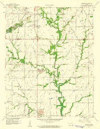 1959 Kirkwood1960 Print · USGSThe Kansas-Missouri border region near Opolis shows a landscape shaped by coal extraction and rural community life in the late fifties. Genealogists and historians can trace numerous country schools like Stilwell Sch, the rail lines of the Kansas City Southern, and local landmarks like Crocker Cem.2 unique versions available
 - 1959 Map of Pittsburg, 1960 Print
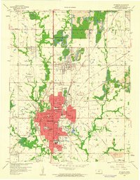 1959 Pittsburg1960 Print · USGSSoutheast Kansas at the close of the fifties reveals a landscape defined by coal extraction and a growing collegiate presence. Trace the rail lines of the Kansas City Southern and find local landmarks like Mount Olive Cemetery or the Drive-in Theater.3 unique versions available
 - 1986 Map of Joplin
 1986 Joplin1986 Print · USGSThe tri-state border region comes alive in the mid-eighties as an industrial and transit powerhouse where Kansas and Missouri meet. Researchers can trace the heavy rail influence of the Missouri Pacific RR and explore sites like the Mined Land State Wildlife Area.
 - 1991 Map of Joplin
 1991 Joplin1991 Print · USGSThe tri-state mining district and the Ozark foothills meet in the early 1990s as industrial land transitions into conservation areas. Genealogists and historians can trace the growth of Joplin and Baxter Springs or locate rural sites like Mount Hope Cem and Blue Mound.
 - 2010 Map of Pittsburg, 2010 Print
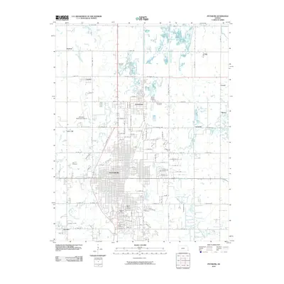 2010 Pittsburg2010 Print · USGSSoutheast Kansas at the beginning of the 21st century centers on the growth of Pittsburg and its surrounding communities. Researchers can trace local genealogy and land history through landmarks like Pittsburg State University, Chicopee, and Mount Carmel Cemetery.
 - 2010 Map of Kirkwood, 2010 Print
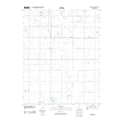 2010 Kirkwood2010 Print · USGSCrawford County's rural landscape is captured here in the early twenty-first century, showing a network of agricultural roads and small communities. Genealogists can trace family locations through numerous sites like Lone Oak Cemetery, Kniveton, and Council Corners Cemetery.
 - 2012 Map of Pittsburg, 2012 Print
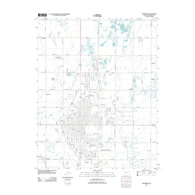 2012 Pittsburg2012 Print · USGSCrawford County's urban and rural landscape is documented here during the early twenty-first century. Researchers can trace family history through numerous sites like Mount Carmel Cem or explore the development around Pittsburg State Univ and Lone Oak.
 - 2012 Map of Kirkwood, 2012 Print
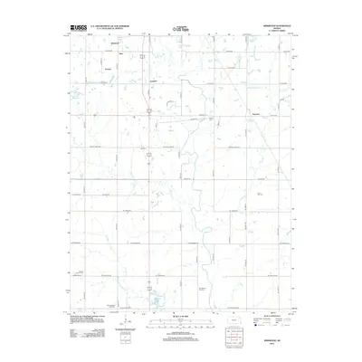 2012 Kirkwood2012 Print · USGSSoutheast Kansas at the turn of the decade reveals a landscape of dispersed rural settlements and small agricultural crossroads. Genealogists can trace family roots through numerous burial grounds including Lone Oak Cem, Crocker Cem, and Council Corners Cem.
 - 2015 Map of Pittsburg, 2015 Print
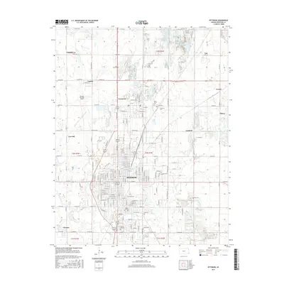 2015 Pittsburg2015 Print · USGSCrawford County at the start of the 2010s shows a landscape shaped by its industrial past and educational present. Genealogists and historians can trace family roots through numerous local burial grounds like Highland Park Cemetery and Star Cemetery, while mapping the layout of Frontenac and Chicopee.
 - 2015 Map of Kirkwood, 2015 Print
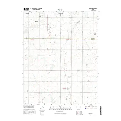 2015 Kirkwood2015 Print · USGSSoutheast Kansas communities appear in detail as they were a decade ago, spanning the border of Crawford and Cherokee counties. Genealogists can locate several family and community burial sites, including Old Pleasant View Cem, Bird Cem, and Lone Oak Cem.
 - 2018 Map of Kirkwood, 2018 Print
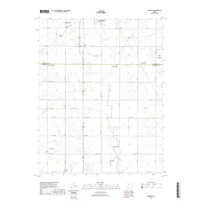 2018 Kirkwood2018 Print · USGSThe rural borderlands between Crawford and Cherokee counties come into focus in this recent survey of the Kansas countryside. Local historians can trace family roots through numerous sites like Old Pleasant View Cem and Council Corners Cem, or locate the quiet crossroads of Kramer and Kniveton.
 - 2018 Map of Pittsburg, 2018 Print
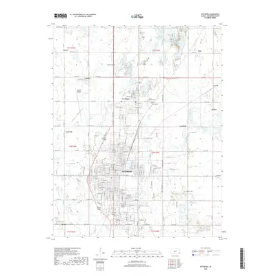 2018 Pittsburg2018 Print · USGSCrawford County's urban and rural corridors are captured in detail during the late 2010s. Researchers can trace family history through numerous landmarks like Mount Carmel Cemetery, the streets of Pittsburg, and the layout of Frontenac.
 - 2022 Map of Pittsburg, 2022 Print
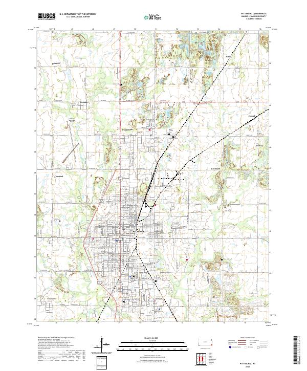 2022 Pittsburg2022 Print · USGSSoutheastern Kansas coal country is centered here at the start of the 2020s, showing the dense grid of Pittsburg alongside its neighboring industrial towns. Researchers can trace family roots through several local landmarks like Pittsburg State University, Highland Park Cem, and the nearby settlement of Frontenac.
 - 2022 Map of Kirkwood, 2022 Print
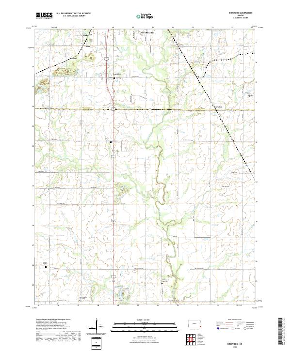 2022 Kirkwood2022 Print · USGSSoutheast Kansas farm country and the Crawford-Cherokee county line are captured here in the early 2020s. Genealogists can trace several local burial grounds including Lone Oak Cem and Bird Cem near the small communities of Atlas and Kramer.
End of results
Showing maps 1-24 of 24
Top cities near Pittsburg
- Carl Junction historical maps
- Columbus historical maps
- Frontenac historical maps
- Girard historical maps
- Oronogo historical maps
- Arma historical maps
See more
Frequently asked questions
- What are the different types of historical maps available for Pittsburg?
- What is the oldest map of Pittsburg?
- Where can I purchase historical maps of Pittsburg for my home or office?
- Where can I download high-res historical maps of Pittsburg?
- Are there historical topographic maps available for Pittsburg?
- Is there historical aerial imagery available for Pittsburg?
- Where are historical maps of Pittsburg sourced from?