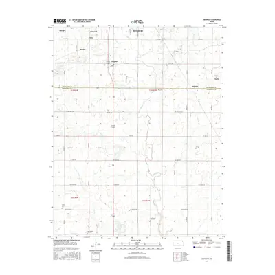
2015 Map of Kirkwood
USGS Topo · Published 2015About this map
Pittsburg anchor the northern reaches of this survey, where the urban grid gives way to a landscape defined by the drainage of Cow Creek and its tributaries. The southern transition from Crawford Co into Cherokee Co is marked by a network of rural roads such as NE Coal Valley Rd and NE Coalfield Rd, reflecting the region’s long association with coal mining and agriculture. A high concentration of burial sites suggests deep-rooted communities throughout the area, from the Old Pleasant View Cem and New Pleasant View Cem near the southern border to the Lone Oak Cem and Crocker Cem further north. These landmarks, alongside smaller settlements like Langdon and Chicopee, provide a clear view of the settlement patterns in Southeast Kansas during the mid-2010s.
Find a feature on this map
33 named features on this map. Tap any name to fly to it.
Don’t see what you’re looking for? This feature index may not catch every label — zoom into the map to look around manually.
Map Details
Editions of this 2015 Kirkwood Map
This is the sole edition of this map. No revisions or reprints were ever made.
Other maps of this area

1886 · Joplin
USGS Topo · 1:125,000

1894 · Joplin
USGS Topo · 1:125,000

1918 · Columbus
USGS Topo · 1:62,500

1943 · Cherokee
USGS Topo · 1:62,500

1945 · Pittsburg
USGS Topo · 1:62,500

1945 · Cherokee
USGS Topo · 1:62,500

1947 · Joplin
USGS Topo · 1:250,000

1947 · Pittsburg
USGS Topo · 1:62,500

1949 · Joplin
USGS Topo · 1:250,000

1950 · Pittsburg
USGS Topo · 1:62,500