2020s Maps of Greenwood County, Kansas
Explore 34 historic maps of Greenwood County from the 2020s. These maps offer a rare glimpse into what life looked like during the 2020s — showing old roads, neighborhoods, homes, and landmarks that have changed or disappeared over time.
Whether you're researching your family's past, planning a metal detecting trip, or studying how Greenwood County's landscape evolved across the 2020s, these high-resolution maps are a powerful tool for exploring the history of this region.
- Focus on a specific era: All maps on this page are from the 2020s, giving you a focused view of this time period.
- See what’s changed: Compare century-old streets, trails, and buildings to today's modern landscape using overlays and satellite layers.
- Research with precision: Use these maps for genealogy, historical research, land use analysis, or educational projects.
- View, download, or print: Maps are fully viewable online in high resolution, and can be downloaded or printed for your own records.
Start exploring Greenwood County's history through authentic maps from the 2020s. This is your window into the past.
Greenwood County, KS maps
(34)- 2022 Map of New Albany, 2022 Print
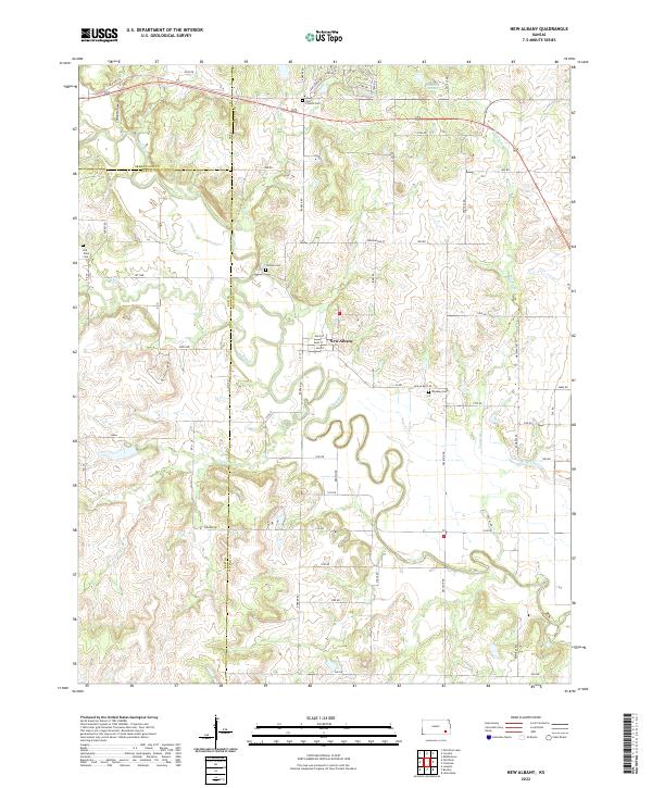 2022 New Albany2022 Print · USGSSoutheast Kansas at the turn of the decade shows a landscape shaped by the winding Fall River and several local burial sites. Genealogists can trace family names at Weakley Cem or Jackson Cem and explore the street grid of New Albany.
 - 2022 Map of Quincy, 2022 Print
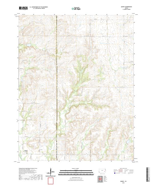 2022 Quincy2022 Print · USGSQuincy and its surrounding rural townships are captured here in the early twenty-first century as the landscape remains defined by its original survey lines. Researchers can locate the Quincy Cem and trace the many drainages of the Verdigris River, including Turkey Cr and Brazil Cr.
 - 2022 Map of Coyville, 2022 Print
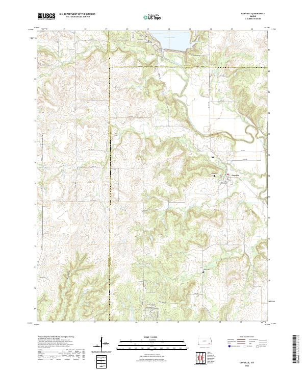 2022 Coyville2022 Print · USGSCoyville and the surrounding Kansas prairie are captured here in the early twenty-first century, showing the enduring agricultural patterns of the Verdigris River valley. Local historians can trace old homestead sites near Carlisle Cem or follow the winding course of Greathouse Cr through the countryside.
 - 2022 Map of Severy North, 2022 Print
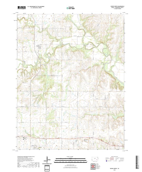 2022 Severy North2022 Print · USGSSouthern Greenwood County is captured here in recent years, showing the steady rural landscape of the Kansas prairie. Genealogists can locate family sites near Climax and Severy, or trace local heritage at Twin Grove Cem and along the banks of the Fall River.
 - 2022 Map of Severy South, 2022 Print
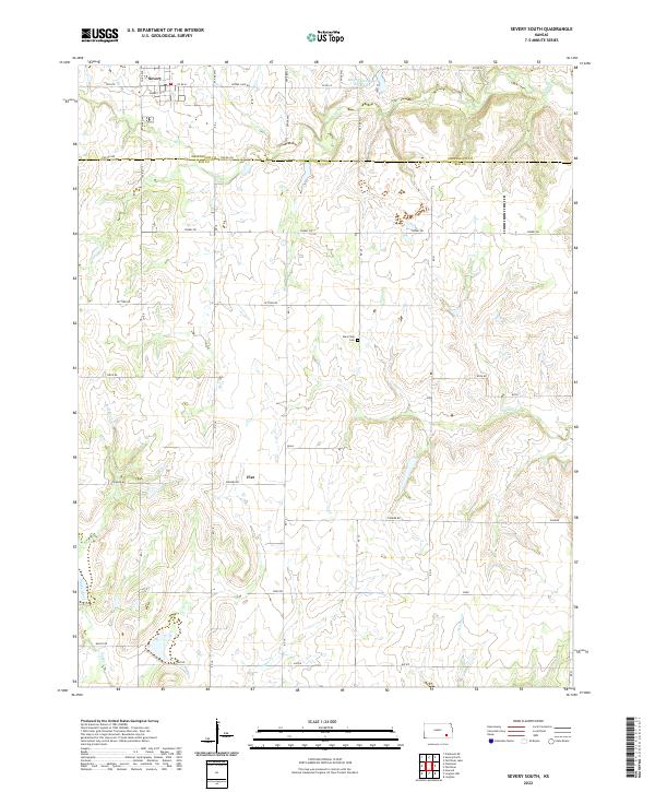 2022 Severy South2022 Print · USGSElk County at the start of the 2020s shows a landscape of persistent rural character defined by its creek systems and section-line roads. Genealogists and local historians can trace family locations near Fiat, the Rural Vale Cem, or the southern outskirts of Severy.
 - 2022 Map of Beaumont, 2022 Print
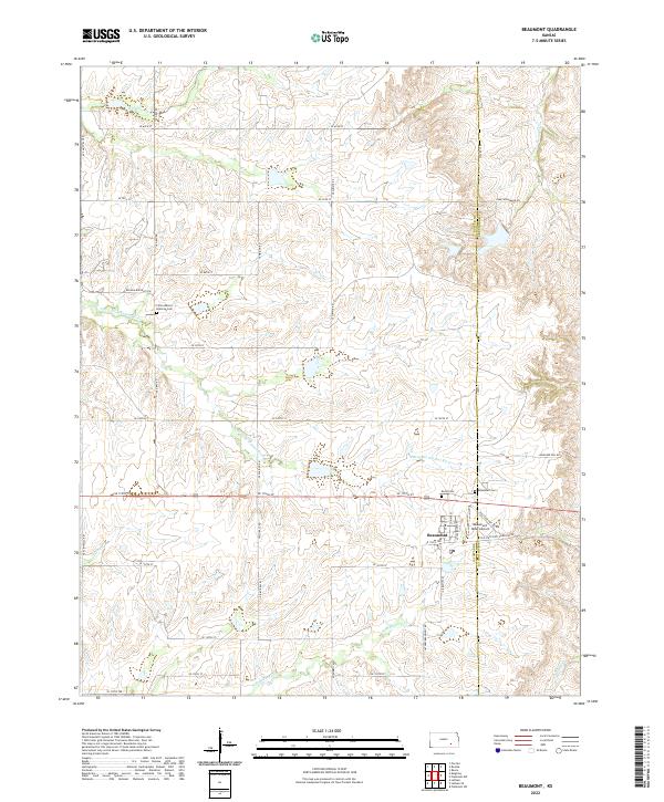 2022 Beaumont2022 Print · USGSThe Butler County prairie at the edge of the Flint Hills is captured here in modern detail. Genealogists and local historians can trace family roots at Little Walnut Glencoe Cem or locate the unique Beaumont Hotel Airport.
 - 2022 Map of Virgil, 2022 Print
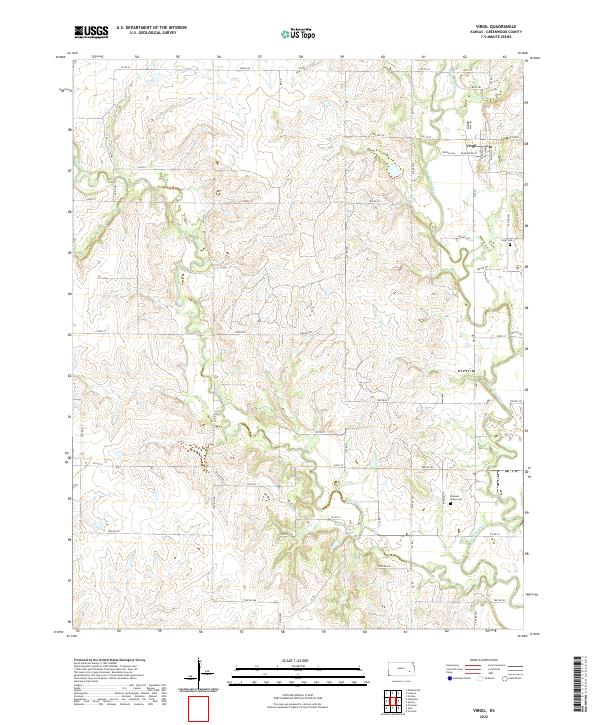 2022 Virgil2022 Print · USGSThe rural town of Virgil and the winding Verdigris River valley are captured in this recent survey of eastern Kansas. Researchers can locate family sites and landmarks like Virgil Cem, Pleasant Valley Cem, and the streets of Virgil itself.
 - 2022 Map of Hamilton, 2022 Print
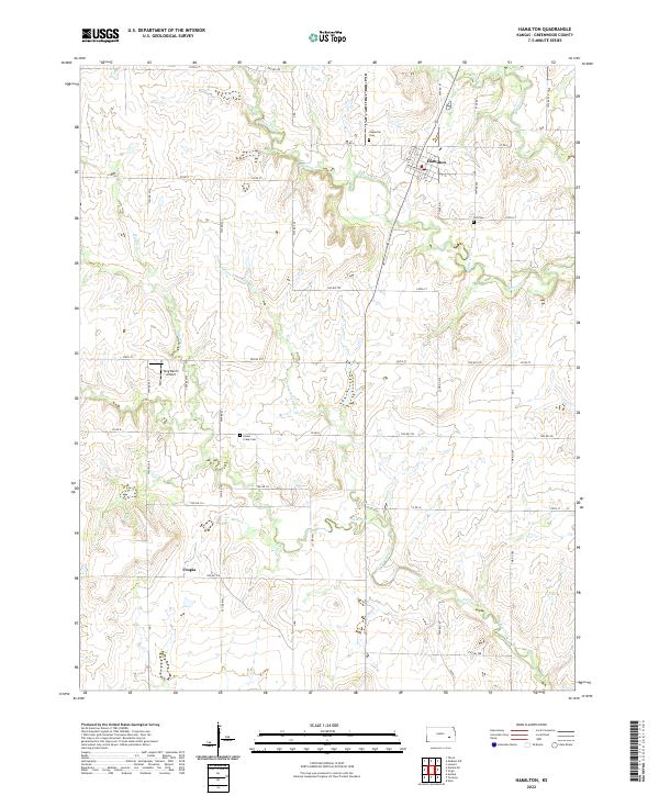 2022 Hamilton2022 Print · USGSGreenwood County ranch land and the quiet community of Hamilton are documented here in the early twenty-first century. Genealogists and local historians can trace family plots at Janesville Cem or locate the rural settlement of Utopia near Homer Creek.
 - 2022 Map of Rosalia NE, 2022 Print
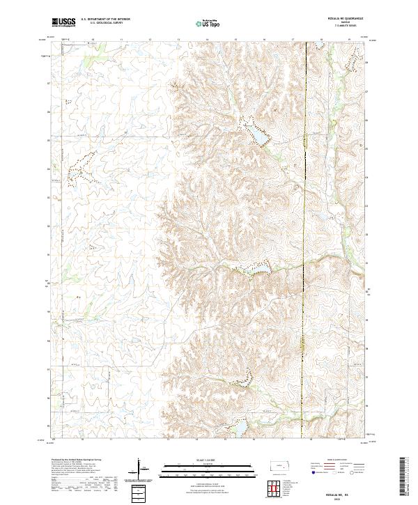 2022 Rosalia NE2022 Print · USGSThe Butler and Greenwood county line in rural Kansas is depicted in the early twenty-first century as a land shaped by prairie drainage. Researchers can trace the winding paths of W Br Fall River and Ivanpah Cr alongside section roads like Sallyard Rd.
 - 2022 Map of Rosalia, 2022 Print
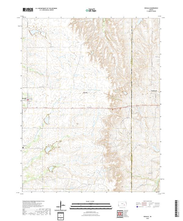 2022 Rosalia2022 Print · USGSButler County's prairie landscape and rural settlements are documented here in the early twenty-first century as they border Greenwood County. Researchers can trace family roots at the Blankinship Cem or locate the small communities of Sallyards and Summit.
 - 2022 Map of Latham SE, 2022 Print
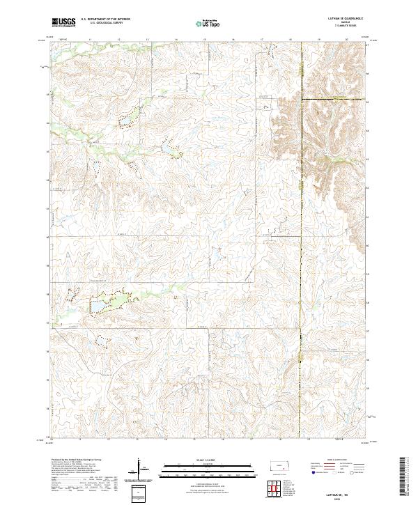 2022 Latham SE2022 Print · USGSThe rural borders of Butler, Greenwood, and Elk Counties come alive in this contemporary survey of the Kansas prairie. Genealogists and land researchers can trace property boundaries and water rights along Elk River, Rock Cr, and the historic Pioneer roadway.
 - 2022 Map of Piedmont NE, 2022 Print
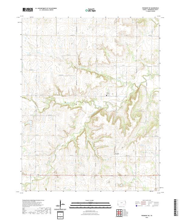 2022 Piedmont NE2022 Print · USGSEastern Greenwood County is captured here in its modern agricultural character, defined by the winding paths of Otter Creek and Tadpole Cr. Genealogists and local historians can trace family-named routes like Sauerwine Rd and locate the Pleasant View Cem.
 - 2022 Map of Piedmont NW, 2022 Print
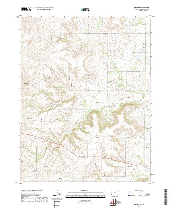 2022 Piedmont NW2022 Print · USGSThe Greenwood County prairie at the start of the 2020s shows a landscape of deep-cut creek branches and high points. Genealogists and local historians can trace the rural settlement of Blodgett and the Star Cem, or locate landmarks like Temple Knob.
 - 2022 Map of Reece, 2022 Print
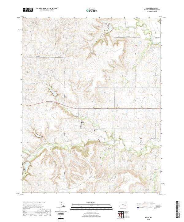 2022 Reece2022 Print · USGSGreenwood County ranching country and the small community of Reece are captured here in the early twenty-first century. Genealogists and local historians can trace the grid of township roads to landmarks like the Reece Cem or the banks of Burnt Cr.
 - 2022 Map of Piedmont, 2022 Print
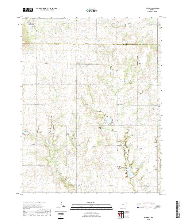 2022 Piedmont2022 Print · USGSThe rural landscape around Piedmont and the Greenwood-Elk county line is preserved here in the early twenty-first century. Genealogists and local historians can locate the Bunker Hill Cem and trace old family routes along Settler Rd and Pioneer Rd.
 - 2022 Map of Piedmont SW, 2022 Print
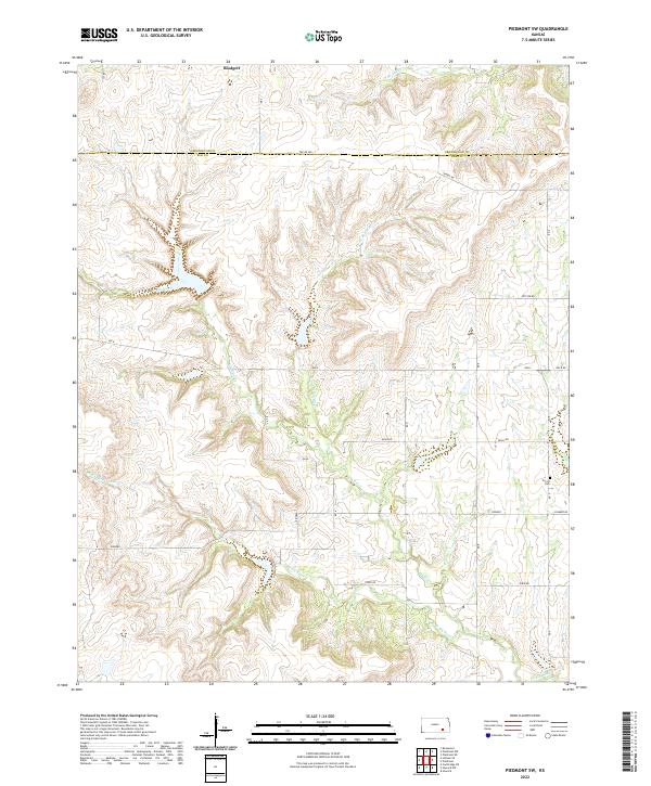 2022 Piedmont SW2022 Print · USGSElk and Greenwood Counties are captured here at the start of the 2020s, showing a quiet landscape of ranching and river valleys. Researchers can trace family roots at Forest Cem or locate the tiny settlement of Blodgett near the S Br Otter Cr.
 - 2022 Map of Eureka, 2022 Print
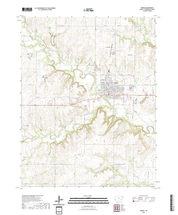 2022 Eureka2022 Print · USGSEureka and the surrounding Kansas prairie are captured here in the early twenty-first century as the town continues its role as a regional center. Researchers can trace the layout of the county seat near the Greenwood County Courthouse or locate family plots in Greenwood Cem.
 - 2022 Map of Neal, 2022 Print
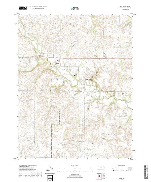 2022 Neal2022 Print · USGSGreenwood County ranching country is captured here in the early twenty-first century, showing the enduring rural layout of the Kansas prairie. Genealogists can locate family sites near Neal Cem or trace the winding waters of Walnut Creek and Homer Creek.
 - 2022 Map of Eureka NE, 2022 Print
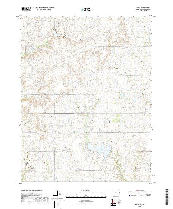 2022 Eureka NE2022 Print · USGSGreenwood County ranch lands and rural watersheds are meticulously documented in this recent survey. Local historians and genealogists can pinpoint the Highland Cem or trace the drainage of Bachelor Creek as it flows toward the prominent Eureka City Lake.
 - 2022 Map of Tonovay, 2022 Print
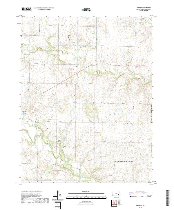 2022 Tonovay2022 Print · USGSThe rural landscape of Greenwood County is captured here in the early twenty-first century, centered on the settlement of Tonovay. Researchers can trace the winding course of the Fall River and follow the paths of local thoroughfares like Twp Rd 308 and Co Rd 610.
 - 2022 Map of Madison SW, 2022 Print
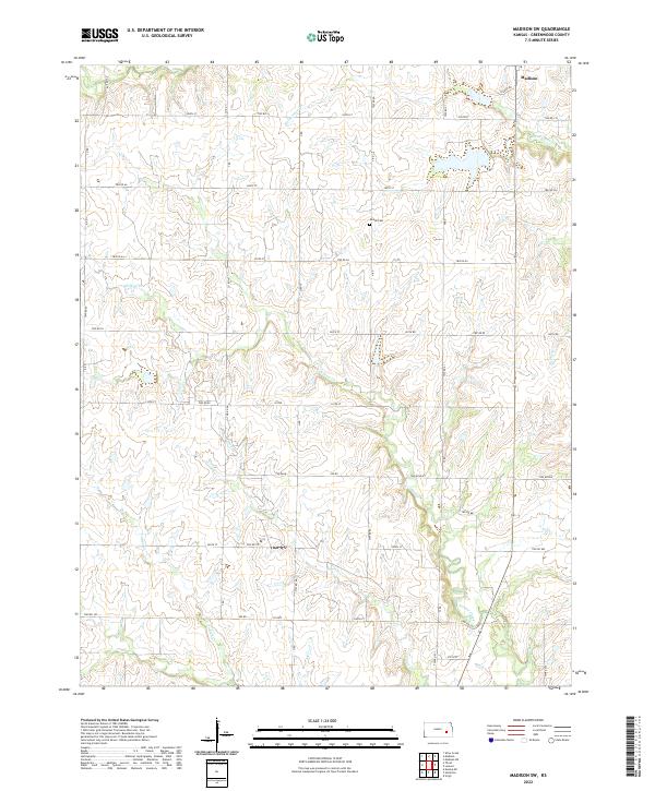 2022 Madison SW2022 Print · USGSGreenwood County at the edge of the Flint Hills maintains its quiet agricultural character in the early twenty-first century. Genealogists and local historians can trace the rural road network and find family landmarks like Woods Cem or follow the paths of Holderman Cr and Onion Cr.
 - 2022 Map of Shaw Creek, 2022 Print
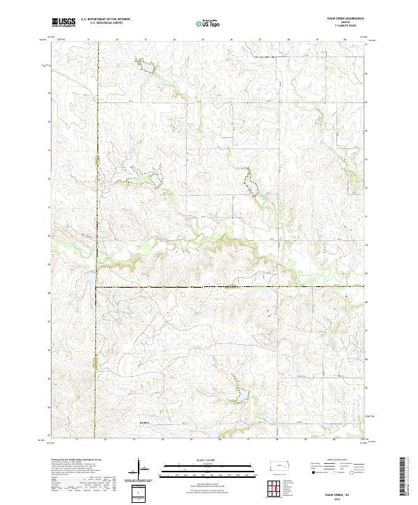 2022 Shaw Creek2022 Print · USGSThe rural borderlands of Lyon, Greenwood, and Chase Counties are captured here in a moment of quiet agricultural continuity. Genealogists and local historians can trace the landscape around Kenbro and follow the branching paths of the N Br Verdigris River and Shaw Cr.
 - 2022 Map of Thrall, 2022 Print
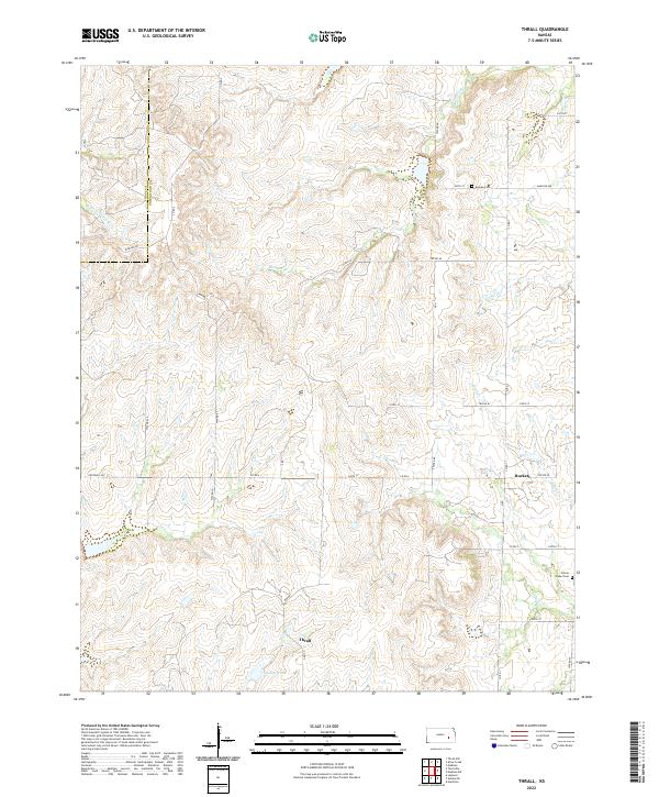 2022 Thrall2022 Print · USGSGreenwood County ranching country is documented here in the early twenty-first century, showing the rural crossroads of Thrall and Burkett. Researchers can locate family burial sites at Andrew Cem or trace the winding course of the N Br Verdigris River.
 - 2022 Map of Lamont, 2022 Print
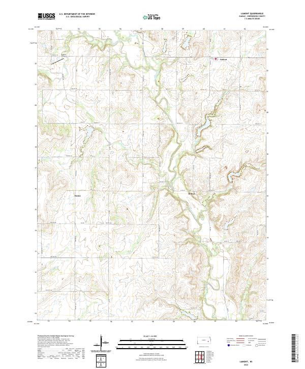 2022 Lamont2022 Print · USGSGreenwood County farmland and the drainage of the Verdigris River are shown here in the early 2020s. Researchers can trace rural property access and the sites of local landmarks like Lamont, Hilltop, and Godfrey Airport.
 - 2022 Map of Gridley NW, 2022 Print
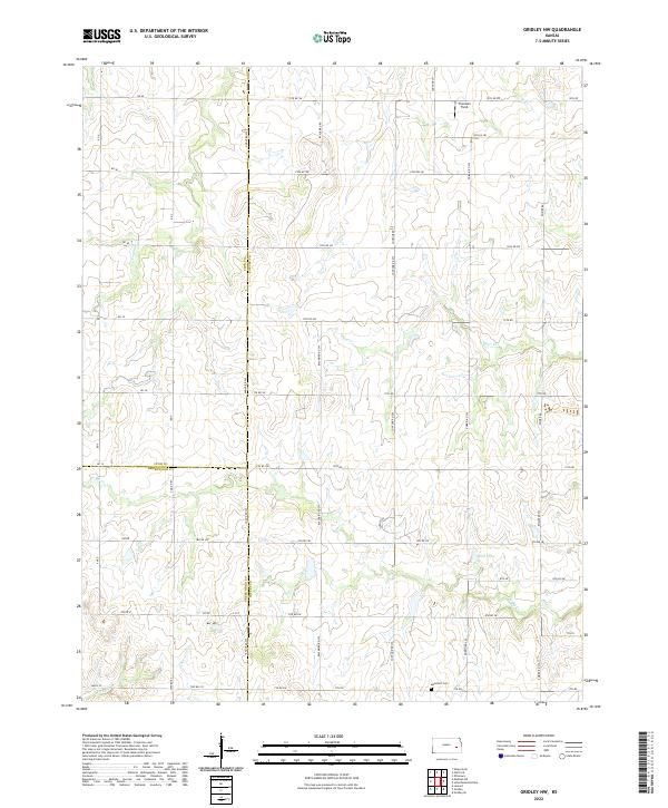 2022 Gridley NW2022 Print · USGSCoffey County prairie meets the borders of Lyon and Greenwood in the early 2020s, showing a landscape defined by ranching and rural township roads. Genealogists and researchers can locate the Apostolic Cem and trace the headwaters of Otter Cr and N Big Cr.
Showing maps 1-25 of 34
Top cities of Greenwood County
- Eureka historical maps
- Madison historical maps
- Severy historical maps
- Hamilton historical maps
- Quincy historical maps
- Fall River historical maps
See more
Frequently asked questions
- What are the different types of historical maps available for Greenwood County?
- What is the oldest map of Greenwood County?
- Where can I purchase historical maps of Greenwood County for my home or office?
- Where can I download high-res historical maps of Greenwood County?
- Are there historical topographic maps available for Greenwood County?
- Is there historical aerial imagery available for Greenwood County?
- Where are historical maps of Greenwood County sourced from?