2000-2009 Maps of Greenwood County, Kansas
Explore 23 historic maps of Greenwood County from 2000-2009. These maps offer a rare glimpse into what life looked like during the 2000s — showing old roads, neighborhoods, homes, and landmarks that have changed or disappeared over time.
Whether you're researching your family's past, planning a metal detecting trip, or studying how Greenwood County's landscape evolved across the 2000s, these high-resolution maps are a powerful tool for exploring the history of this region.
- Focus on a specific era: All maps on this page are from the 2000s, giving you a focused view of this time period.
- See what’s changed: Compare century-old streets, trails, and buildings to today's modern landscape using overlays and satellite layers.
- Research with precision: Use these maps for genealogy, historical research, land use analysis, or educational projects.
- View, download, or print: Maps are fully viewable online in high resolution, and can be downloaded or printed for your own records.
Start exploring Greenwood County's history through authentic maps from the 2000s. This is your window into the past.
Greenwood County, KS maps
(23)- 2009 Map of Severy South, 2009 Print
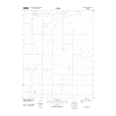 2009 Severy South2009 Print · USGSThe northern Flint Hills prairie around Severy and Fiat is captured here during the first decade of the 2000s. Genealogists and local historians can trace family roots at the Pleasant View Cemetery and follow the routes of Salt Creek and Hitchen Creek.
 - 2009 Map of Piedmont NE, 2009 Print
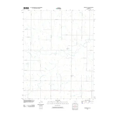 2009 Piedmont NE2009 Print · USGSGreenwood County ranching lands and rural homesteads are documented in the first decade of the new millennium. Genealogists and local researchers can trace family lands along Otter Creek and locate historic sites like Pleasant View Cemetery or the Stuber Ranch Airport.
 - 2009 Map of Madison SW, 2009 Print
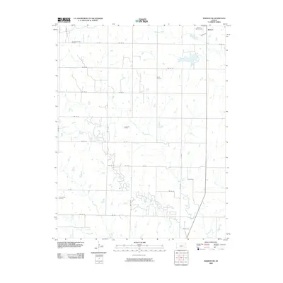 2009 Madison SW2009 Print · USGSThe rural expanse southwest of Madison was characterized by energy extraction and family farmsteads in the early twenty-first century. Genealogists can locate family landmarks like Woods Cemetery and Prairie Chapel Cemetery or trace the extent of the Seeley-Wick Oil Field.
 - 2009 Map of Lapland, 2009 Print
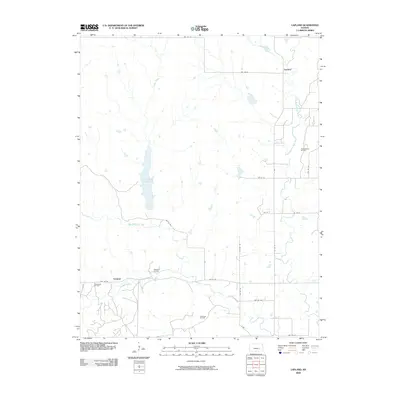 2009 Lapland2009 Print · USGSGreenwood County at the end of the first decade of the 2000s showcases a landscape of agricultural tradition and active oil extraction. Genealogists and local historians can map the rural reaches of Lapland and Ivanpah, or trace the extent of the Thrall-Aagard Oil Field and Otis Creek Reservoir.
 - 2009 Map of Hamilton, 2009 Print
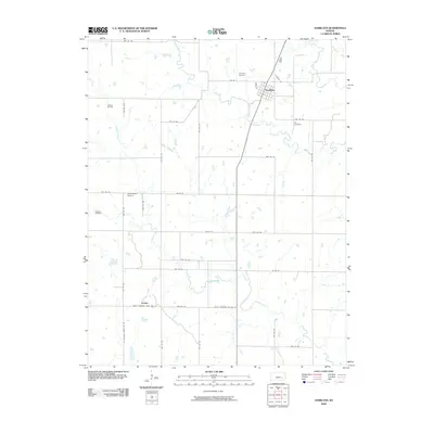 2009 Hamilton2009 Print · USGSGreenwood County at the end of the first decade of the new millennium reveals a landscape of small towns and active oil production. Researchers can trace family sites near Utopia, locate the Ott Cemetery, or explore the grounds of the Gaffney Oil Field.
 - 2009 Map of Eureka, 2009 Print
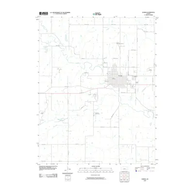 2009 Eureka2009 Print · USGSEureka and its surrounding Greenwood County prairies are captured here in the early twenty-first century as a hub of oil production and local commerce. Genealogists and researchers can locate Greenwood Cemetery, the Eureka Oil Field, and the Eureka Post Office.
 - 2009 Map of Eureka NE, 2009 Print
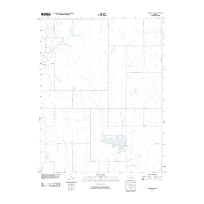 2009 Eureka NE2009 Print · USGSGreenwood County at the end of the 2000s shows a landscape of steady agricultural tradition and prairie drainage. Genealogists and local historians can trace family roots near Highland Cemetery or study the shoreline of the reservoir at Eureka City Dam.
 - 2009 Map of Beaumont, 2009 Print
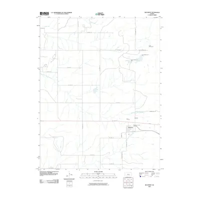 2009 Beaumont2009 Print · USGSThe Flint Hills of Butler County are captured here in the early twenty-first century, centered on the community of Beaumont. Researchers can locate family sites at Butts Cemetery and Beaumont Cemetery or trace the local water system through Upper Wiedemann Dam.
 - 2009 Map of Matfield Green SE, 2009 Print
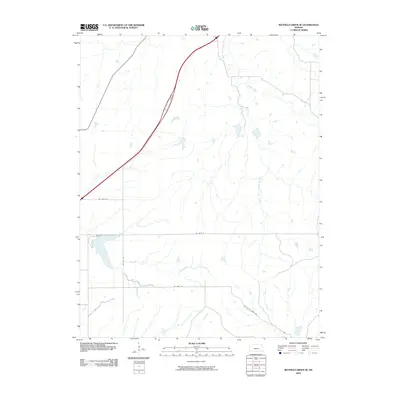 2009 Matfield Green SE2009 Print · USGSButler County's open landscape is documented here in the early 2000s, showing a transition between major Kansas river systems. Researchers can trace rural property access via NE Gray Rd or study the hydrology of Fox Lake and the Walnut River.
 - 2009 Map of Lamont, 2009 Print
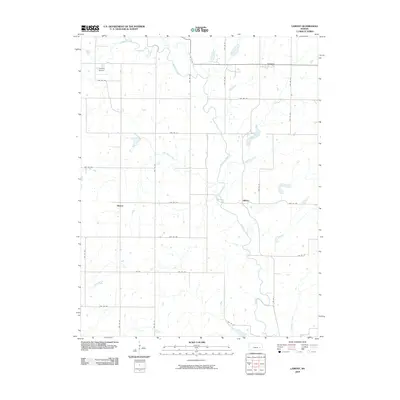 2009 Lamont2009 Print · USGSGreenwood County at the end of the first decade of the 2000s remains a landscape of sprawling prairie and winding river valleys. Genealogists and local historians can trace the road network connecting Bisbee, Hilltop, and the Verdigris River.
 - 2009 Map of Neal, 2009 Print
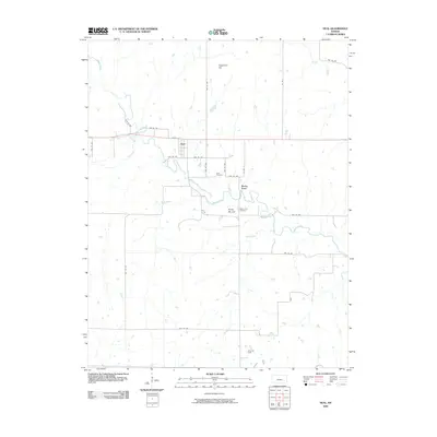 2009 Neal2009 Print · USGSGreenwood County, Kansas, is documented here in the early 2000s, showing a landscape defined by prairie creeks and rural industry. Researchers can trace the Neal Cemetery, the Fancy Oil Field, and the small settlement of Rocky Ford along the banks of Walnut Creek.
 - 2009 Map of Reece, 2009 Print
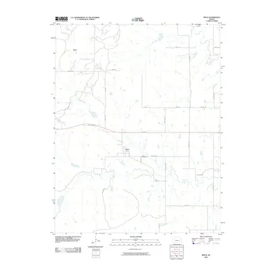 2009 Reece2009 Print · USGSReece and the surrounding Greenwood County plains are captured here in the early twenty-first century. Genealogists and local historians can locate Ladd Cemetery, trace the path of Old US Hwy 54, and see the extent of the Sallyards Oil Field.
 - 2009 Map of Teterville, 2009 Print
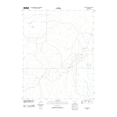 2009 Teterville2009 Print · USGSThe high plains of Greenwood County appear in the early twenty-first century as a land of oil fields and prairie creeks. Researchers can trace the lineage of this rural community through High Prairie Cemetery or locate industrial sites like the Scott Oil Field and Texaco Hill.
 - 2009 Map of Thrall, 2009 Print
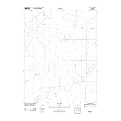 2009 Thrall2009 Print · USGSGreenwood County at the end of the first decade of the 2000s shows a landscape deeply shaped by the petroleum industry. Genealogists and historians can trace local family markers at Andrew Cemetery or map the legacy of the Browning Oil Field and Thrall.
 - 2009 Map of Quincy, 2009 Print
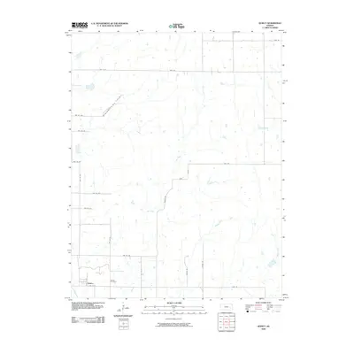 2009 Quincy2009 Print · USGSIn the Greenwood County countryside during the late 2000s, the village of Quincy remains the focal point of a landscape defined by ranching and petroleum. Genealogists and local historians can locate Quincy Cemetery and trace the paths of Dry Creek or the industrial footprint of the Blackwell Oil Field.
 - 2009 Map of Shaw Creek, 2009 Print
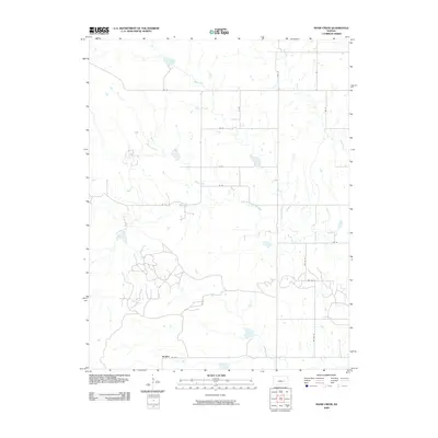 2009 Shaw Creek2009 Print · USGSThe rural prairie of Greenwood County comes into focus in the early 2000s, centered on the small community of Kenbro. Researchers can trace the winding course of the North Branch Verdigris River and find family farm sites along Rd 50 and Shaw Creek.
 - 2009 Map of Tonovay, 2009 Print
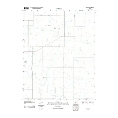 2009 Tonovay2009 Print · USGSThe rural landscape of Greenwood County is captured in this early 21st-century survey of the Tonovay area. Genealogists and local historians can trace the paths of Fall River and Bachelor Creek as they wind through a grid of township roads like Co Rd 600.
 - 2009 Map of Gridley NW, 2009 Print
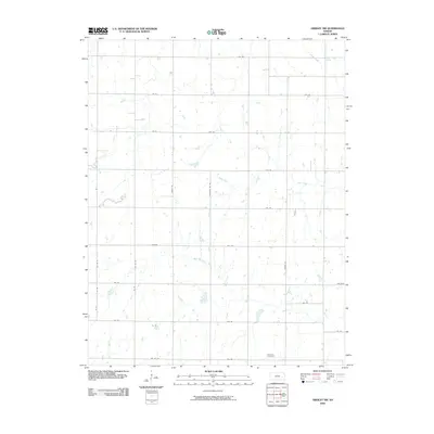 2009 Gridley NW2009 Print · USGSLyon County at the end of the first decade of the 2000s shows a quiet, agrarian landscape shaped by its natural waterways. Genealogists and local historians can trace the rural road network and identify family-related sites near Apostolic Cemetery and North Big Creek.
 - 2009 Map of Coyville, 2009 Print
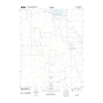 2009 Coyville2009 Print · USGSCoyville and the Verdigris River valley are shown here in the early twenty-first century as they were shaped by the Toronto Lake reservoir. Researchers can trace rural lineages through Carlisle Cemetery, Caley Cemetery, and Hunter Cemetery, or locate old river crossings at Marr Bridge.
 - 2009 Map of Latham SE, 2009 Print
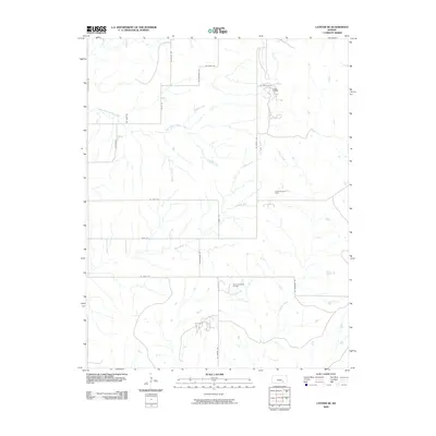 2009 Latham SE2009 Print · USGSSoutheast Kansas at the start of the millennium shows a working landscape shaped by petroleum extraction and prairie drainage. Researchers can trace the layout of the Ferrell Oil Field and Shinn Northeast Oil Field alongside Grouse Creek.
 - 2009 Map of Virgil, 2009 Print
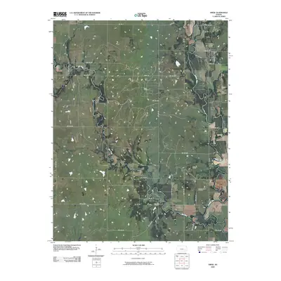 2009 Virgil2009 Print · USGSIn the early twenty-first century, the town of Virgil remained a hub for the local petroleum and ranching economies. Researchers can trace land use patterns near the Verdigris River and locate family burial sites at Virgil Cemetery or Pleasant Valley Cemetery.
 - 2009 Map of Gridley, 2009 Print
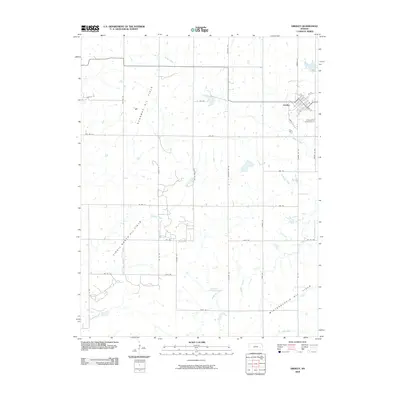 2009 Gridley2009 Print · USGSThe community of Gridley is shown here at the start of the twenty-first century, surrounded by the active energy landscape of Coffey County. Researchers can trace the footprints of the Dunaway Oil Field or locate family plots at the Gridley Cemetery.
 - 2009 Map of Toronto, 2009 Print
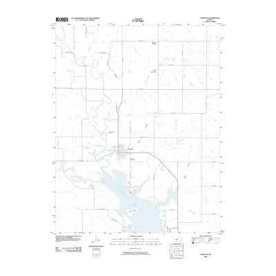 2009 Toronto2009 Print · USGSToronto and the surrounding Woodson County plains are documented here in the early twenty-first century, centered on the town and the northern reaches of the reservoir. Researchers can locate family landmarks such as Toronto Cemetery and Cedar Bluff Cemetery or trace the extent of the Quincy Oil Field.
End of results
Showing maps 1-23 of 23
Top cities of Greenwood County
- Eureka historical maps
- Madison historical maps
- Severy historical maps
- Hamilton historical maps
- Quincy historical maps
- Fall River historical maps
See more
Frequently asked questions
- What are the different types of historical maps available for Greenwood County?
- What is the oldest map of Greenwood County?
- Where can I purchase historical maps of Greenwood County for my home or office?
- Where can I download high-res historical maps of Greenwood County?
- Are there historical topographic maps available for Greenwood County?
- Is there historical aerial imagery available for Greenwood County?
- Where are historical maps of Greenwood County sourced from?