Old Maps of Bluff City, Kansas for Hiking & Exploration
Hike through history with 18 historic maps of Bluff City. Explore old trails, ghost towns, and forgotten backroads — perfect for outdoor adventurers and local explorers.
- Rediscover forgotten places: Map out old mining camps, roads, and footpaths that no longer exist on modern maps.
- Layer with modern tools: Combine with LiDAR or satellite views to plan hikes through historical terrain.
- Made for exploration: Popular among hikers, overlanders, and local history lovers.
Use these maps to find adventure and explore the hidden past of Bluff City.
Bluff City, KS maps
(18)- 1889 Map of Caldwell, 1957 Print
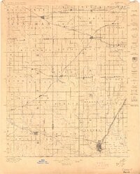
 1889 Caldwell1957 Print · USGSSouthern Kansas is captured in the late 1880s as the arrival of several major railroads began to spur the growth of new prairie towns. Researchers can locate early depots and homesteads in Caldwell, Conway Springs, and Runnymede.
 - 1893 Map of Caldwell
 1893 Caldwell1893 Print · USGSSouthern Kansas is captured during the rapid railroad expansion of the late nineteenth century, showing a landscape defined by new towns and steel rails. Genealogists can trace family roots through early settlements like Caldwell, Conway Springs, and Bluff City along the Chicaskia River.
 - 1897 Map of Caldwell
 1897 Caldwell1897 Print · USGSThe Kansas borderlands come alive in the late nineteenth century as a bustling network of railroads and prairie settlements. Genealogists and researchers can trace early homesteads and rail stops near Caldwell, Argonia, and the notable colonial experiment of Runnymede.10 unique versions available
 - 1955 Map of Wichita, 1959 Print
 1955 Wichita1959 Print · USGSSouth-central Kansas comes alive in the mid-1950s as Wichita grows into its role as a regional industrial and military powerhouse. Trace the rail-and-river network connecting El Dorado and Arkansas City through the Atchison Topeka and Santa Fe lines.3 unique versions available
 - 1958 Map of Wichita
 1958 Wichita1958 Print · USGSSouth Central Kansas in the late fifties was a landscape of aviation industry, oil exploration, and expanding turnpikes. Researchers can trace mid-century growth through McConnell Air Force Base, major facilities for Cessna Aircraft Company, and the active El Dorado Oil Field.
 - 1971 Map of Bluff City West, 1972 Print
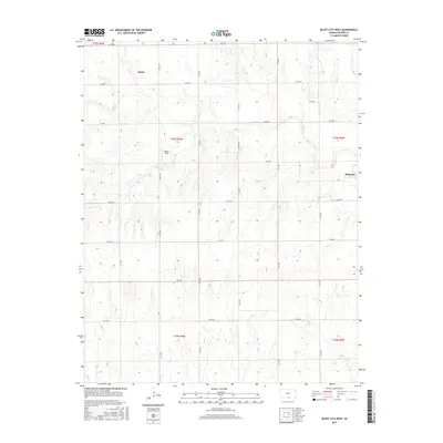
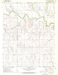 1971 Bluff City West1972 Print · USGSNear the southern Kansas border in the early seventies, this region reveals a landscape of prairie agriculture and winding creek beds. Genealogists and historians can trace the Old Indian Treaty Boundary and locate landmarks like Wilcox Landing Field or the Atchison Topeka and Santa Fe rail line.
 - 1971 Map of Bluff City East, 1973 Print
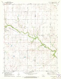 1971 Bluff City East1973 Print · USGSThe Kansas borderlands south of Bluff City come to life in this early 1970s survey of Harper and Sumner counties. Researchers can trace the Old Indian Treaty Boundary and locate family history at Pleasant Hill Cem or Devore Cem.
 - 1985 Map of Wellington
 1985 Wellington1985 Print · USGSSouthern Kansas in the mid-eighties reveals a landscape shaped by historical lines and rail commerce, from Wellington to the Arkansas River. Researchers can trace the Old Indian Treaty Boundary and locate family sites near Prairie Lawn Cem or Bluff City.2 unique versions available
 - 2009 Map of Bluff City East, 2009 Print
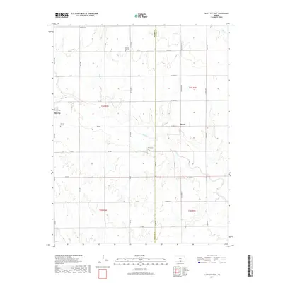
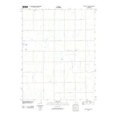 2009 Bluff City East2009 Print · USGSCovers Bluff City, including Metcalf, Sumner County, and other nearby areas
 - 2009 Map of Bluff City West, 2009 Print
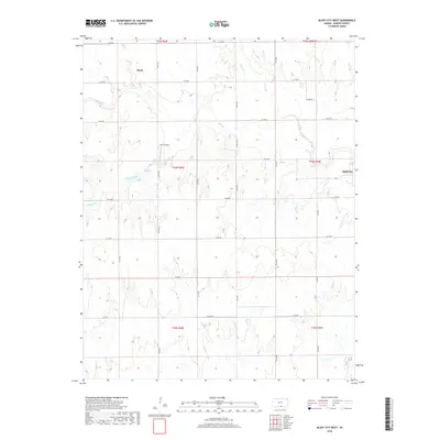
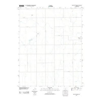 2009 Bluff City West2009 Print · USGSCovers Bluff City, including Hawk, Harper County, and other nearby areas
 - 2012 Map of Bluff City East, 2012 Print
 2012 Bluff City East2012 Print · USGSCovers Bluff City, including Metcalf, Sumner County, and other nearby areas
 - 2012 Map of Bluff City West, 2012 Print
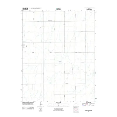
 2012 Bluff City West2012 Print · USGSCovers Bluff City, including Hawk, Harper County, and other nearby areas
 - 2015 Map of Bluff City East, 2015 Print
 2015 Bluff City East2015 Print · USGSCovers Bluff City, including Metcalf, Sumner County, and other nearby areas
 - 2015 Map of Bluff City West, 2015 Print
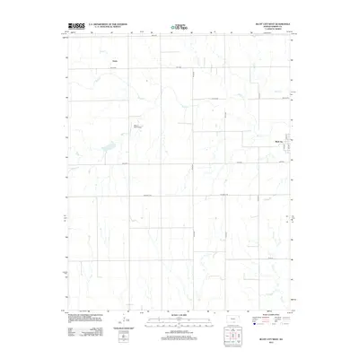
 2015 Bluff City West2015 Print · USGSCovers Bluff City, including Hawk, Harper County, and other nearby areas
 - 2018 Map of Bluff City West, 2018 Print
 2018 Bluff City West2018 Print · USGSCovers Bluff City, including Hawk, Harper County, and other nearby areas
 - 2018 Map of Bluff City East, 2018 Print
 2018 Bluff City East2018 Print · USGSCovers Bluff City, including Metcalf, Sumner County, and other nearby areas
 - 2022 Map of Bluff City East, 2022 Print
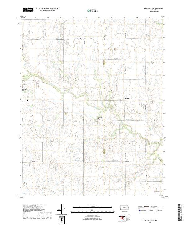 2022 Bluff City East2022 Print · USGSThe Harper and Sumner County border in South Central Kansas is captured here in a moment of rural continuity. Genealogists can locate family burial sites at Pleasant Hill Cemetery, Singer Cemetery, and Devore Cemetery, or trace the winding course of Bluff Creek through Bluff City.
 - 2022 Map of Bluff City West, 2022 Print
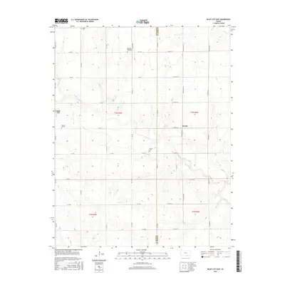
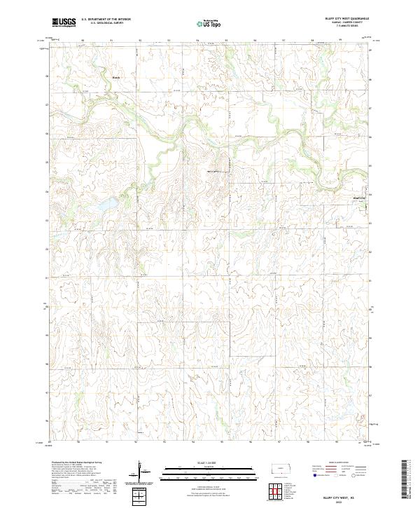 2022 Bluff City West2022 Print · USGSHarper County agricultural lands are documented here in the early twenty-first century, showing the enduring grid of prairie life. Genealogists can locate family farmsteads near Bluff City or trace the drainage of Bluff Cr and the settlement of Hawk.
End of results
Showing maps 1-18 of 18
Top cities near Bluff City
- Anthony historical maps
- Harper historical maps
- Argonia historical maps
- Wakita historical maps
- Milan historical maps
- Manchester historical maps
See more
Frequently asked questions
- What are the different types of historical maps available for Bluff City?
- What is the oldest map of Bluff City?
- Where can I purchase historical maps of Bluff City for my home or office?
- Where can I download high-res historical maps of Bluff City?
- Are there historical topographic maps available for Bluff City?
- Is there historical aerial imagery available for Bluff City?
- Where are historical maps of Bluff City sourced from?