Old Maps of Walton, Kansas for Academic Research
Study the evolution of Walton with 26 high-resolution historic maps. Whether you're teaching, researching, or modeling changes in land use, these maps provide essential visual documentation of urban, environmental, and geographic change.
- Analyze long-term change: Track patterns in development, transportation, and natural features.
- Ideal for environmental or urban studies: Support academic projects with primary historical map data.
- Use in the classroom or lab: Educators and researchers rely on these maps to bring historical context to life.
These maps are a powerful tool for teaching, research, and visualizing how Walton has changed over the decades.
Walton, KS maps
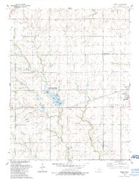
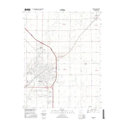
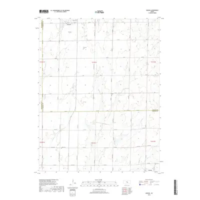
(26)- 1889 Map of Newton
 1889 Newton1889 Print · USGSRailroad expansion defines this Kansas landscape in the late 1880s, centered on the growing hubs of Newton and Marion. Genealogists and historians can trace the early grids of towns like Peabody, Hillsboro, and Lehigh as they appeared at their founding.
 - 1894 Map of Newton
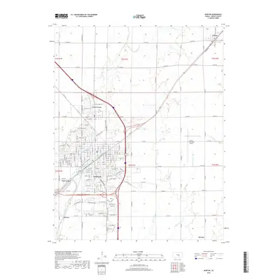
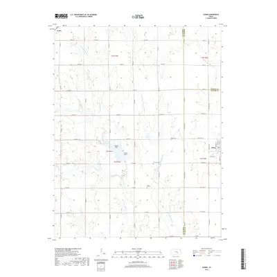
 1894 Newton1894 Print · USGSCentral Kansas was undergoing a rapid transformation into a rail-driven agricultural hub during the 1890s. Genealogists and historians can trace the early growth of Newton, Marion, and Peabody alongside branching rail lines and the winding COTTONWOOD RIVER.5 unique versions available
 - 1955 Map of Hutchinson, 1967 Print
 1955 Hutchinson1967 Print · USGSCentral Kansas in the mid-sixties reveals a landscape of growing reservoirs and evolving transportation corridors. Trace the development of towns like Hutchinson and Abilene alongside the Union Pacific Railroad and the expanding Interstate 70.3 unique versions available
 - 1957 Map of Newton, 1958 Print
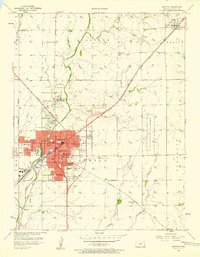 1957 Newton1958 Print · USGSNewton emerges as a bustling rail and educational hub in the late 1950s, defined by its historic college and intersecting rail lines. Researchers can locate family landmarks such as Greenwood Cemetery, Bethel College, and rural schools like Kellas Sch.2 unique versions available
 - 1957 Map of Elbing, 1958 Print
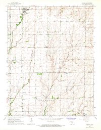
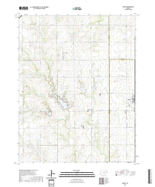
 1957 Elbing1958 Print · USGSButler and Harvey Counties are documented here in the late 1950s, showing the agricultural rhythm of the Whitewater Creek basin. Genealogists and local historians can trace the foundations of the community through sites like Mission Cem, Grace Hill Ch, and the Sugar Grove Sch (Abandoned).2 unique versions available
 - 1959 Map of Hutchinson
 1959 Hutchinson1959 Print · USGSCentral Kansas thrives at the intersection of rail and river in the mid-1950s, as post-war aviation infrastructure reshapes the prairie. Genealogists and historians can trace the paths of the AT&SF RR through Newton and Hutchinson, or locate military sites like Smoky Hill Air Force Base.2 unique versions available
 - 1965 Map of Goessel, 1966 Print
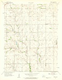
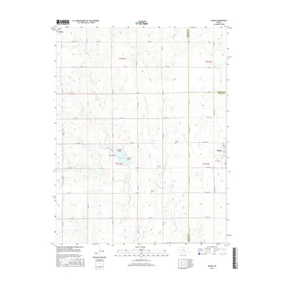
 1965 Goessel1966 Print · USGSMarion and Harvey counties appear in the mid-1960s as a structured agricultural landscape centered on the town of Goessel. Genealogists and local historians can trace rural roots through landmarks like Highland Ch, Grange Hall, and Greenfield Cem.
 - 1985 Map of Hutchinson
 1985 Hutchinson1985 Print · USGSCentral Kansas in the mid-1980s is revealed here as a landscape of productive plains, rail corridors, and growing college towns. Genealogists and historians can trace family plots at McPherson Cemetery and follow the routes of the Missouri Pacific through settlements like Moundridge and Hesston.2 unique versions available
 - 1989 Map of Newton, 1990 Print
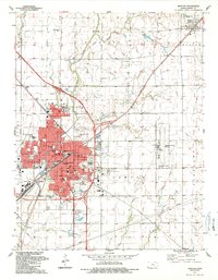 1989 Newton1990 Print · USGSNewton and North Newton anchor this late-eighties survey of Harvey County during a period of steady prairie growth. Researchers can trace the legacy of rail and education through Bethel College, the Atchison Topeka and Santa Fe lines, and local landmarks like Greenwood Cemetery.
 - 1989 Map of Elbing, 1990 Print
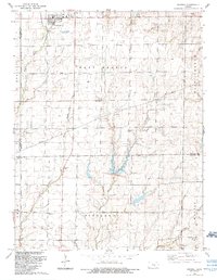
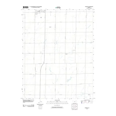
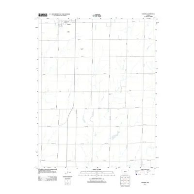
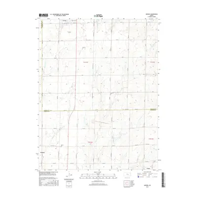
 1989 Elbing1990 Print · USGSElbing and Walton are documented here in the late eighties, showing a landscape defined by the intersection of Whitewater Creek branches. Researchers can trace the layout of the Berean Academy or locate family sites near Mission Cem and Grace Hill Ch.
 - 1989 Map of Goessel, 1990 Print
 1989 Goessel1990 Print · USGSMarion and McPherson counties come together in this late-century survey of a landscape shaped by the Sixth Principal Meridian. Researchers can trace community roots through the Goessel townsite and several rural landmarks like Tabor Ch, Highland Ch, and Schoenthal Cem.
 - 2009 Map of Elbing, 2009 Print
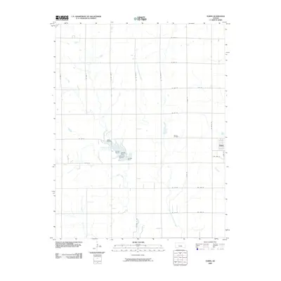 2009 Elbing2009 Print · USGSCovers Walton, including Elbing, Butler County, and other nearby areas
 - 2009 Map of Newton, 2009 Print
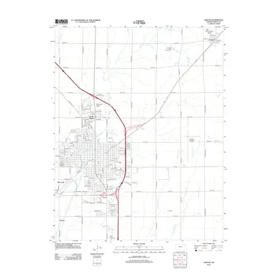
 2009 Newton2009 Print · USGSCovers Walton, including Newton, North Newton, and other nearby areas
 - 2010 Map of Goessel, 2010 Print
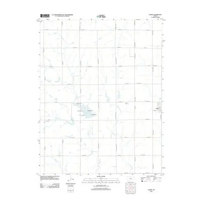
 2010 Goessel2010 Print · USGSCovers Walton, including Hesston, Goessel, and other nearby areas
 - 2012 Map of Newton, 2012 Print
 2012 Newton2012 Print · USGSCovers Walton, including Newton, North Newton, and other nearby areas
 - 2012 Map of Goessel, 2012 Print
 2012 Goessel2012 Print · USGSCovers Walton, including Hesston, Goessel, and other nearby areas
 - 2012 Map of Elbing, 2012 Print
 2012 Elbing2012 Print · USGSCovers Walton, including Elbing, Butler County, and other nearby areas
 - 2015 Map of Goessel, 2015 Print
 2015 Goessel2015 Print · USGSCovers Walton, including Hesston, Goessel, and other nearby areas
 - 2015 Map of Elbing, 2015 Print
 2015 Elbing2015 Print · USGSCovers Walton, including Elbing, Butler County, and other nearby areas
 - 2015 Map of Newton, 2015 Print
 2015 Newton2015 Print · USGSCovers Walton, including Newton, North Newton, and other nearby areas
 - 2018 Map of Newton, 2018 Print
 2018 Newton2018 Print · USGSCovers Walton, including Newton, North Newton, and other nearby areas
 - 2018 Map of Goessel, 2018 Print
 2018 Goessel2018 Print · USGSCovers Walton, including Hesston, Goessel, and other nearby areas
 - 2018 Map of Elbing, 2018 Print
 2018 Elbing2018 Print · USGSCovers Walton, including Elbing, Butler County, and other nearby areas
 - 2022 Map of Newton, 2022 Print
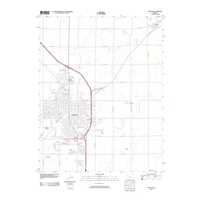
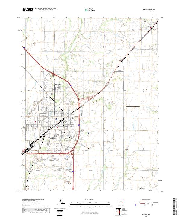 2022 Newton2022 Print · USGSNewton and its surrounding Harvey County townships are shown here in modern detail. Genealogists and local researchers can locate Bethel College, the Harvey County Courthouse, and regional burial sites like Greenwood Cem.
 - 2022 Map of Elbing, 2022 Print
 2022 Elbing2022 Print · USGSElbing and the surrounding plains of Butler and Harvey counties are captured in the early 2020s amidst a network of prairie creeks. Researchers can locate the Grace Hill Mennonite Church Cem, Mission Cem, and the Horace Hays Gravesite along the rural roads.
Showing maps 1-25 of 26
Top cities near Walton
- Newton historical maps
- Hesston historical maps
- Hillsboro historical maps
- Marion historical maps
- Sedgwick historical maps
- North Newton historical maps
See more
Frequently asked questions
- What are the different types of historical maps available for Walton?
- What is the oldest map of Walton?
- Where can I purchase historical maps of Walton for my home or office?
- Where can I download high-res historical maps of Walton?
- Are there historical topographic maps available for Walton?
- Is there historical aerial imagery available for Walton?
- Where are historical maps of Walton sourced from?