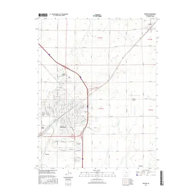
2015 Map of Newton
USGS Topo · Published 2015About this map
The city of Newton serves as the focal point of this Harvey County survey, illustrating the modern expansion of this historic rail hub. The landscape is defined by the winding course of Sand Creek, which cuts through the heart of the city, while the institution of Bethel Coll anchors the northern district of North Newton. A complex transportation network is evident, showing the convergence of major regional routes and the local grid system that extends toward Walton in the northeast and the outlying settlement of McLains to the southeast.
Find a feature on this map
96 named features on this map. Tap any name to fly to it.
Don’t see what you’re looking for? This feature index may not catch every label — zoom into the map to look around manually.
Map Details
Editions of this 2015 Newton Map
This is the sole edition of this map. No revisions or reprints were ever made.
Other maps of this area

1889 · Newton
USGS Topo · 1:125,000

1889 · Wichita
USGS Topo · 1:125,000

1894 · Wichita
USGS Topo · 1:125,000

1894 · Newton
USGS Topo · 1:125,000

1955 · Wichita
USGS Topo · 1:250,000

1955 · Hutchinson
USGS Topo · 1:250,000

1957 · Newton
USGS Topo · 1:24,000

1957 · Peabody NW
USGS Topo · 1:24,000

1957 · Elbing
USGS Topo · 1:24,000

1958 · Wichita
USGS Topo · 1:250,000