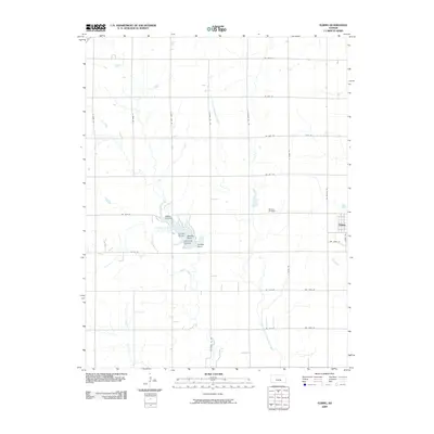
2009 Map of Elbing
USGS Topo · Published 2009About this map
Harvey County East Park Lake serves as a central geographic anchor for this portion of the Kansas plains, surrounded by a cluster of named recreation sites including Crown Point, Needle Point, Lake View Landing, and Catfish Point. The landscape is largely defined by the agricultural grid and the winding course of the East Branch Whitewater Creek, which flows southward through the center of the quadrangle.
Find a feature on this map
33 named features on this map. Tap any name to fly to it.
Don’t see what you’re looking for? This feature index may not catch every label — zoom into the map to look around manually.
Map Details
Editions of this 2009 Elbing Map
This is the sole edition of this map. No revisions or reprints were ever made.
Other maps of this area

1889 · Newton
USGS Topo · 1:125,000

1889 · Wichita
USGS Topo · 1:125,000

1894 · Wichita
USGS Topo · 1:125,000

1894 · Newton
USGS Topo · 1:125,000

1955 · Wichita
USGS Topo · 1:250,000

1955 · Hutchinson
USGS Topo · 1:250,000

1957 · Newton
USGS Topo · 1:24,000

1957 · Peabody NW
USGS Topo · 1:24,000

1957 · Peabody
USGS Topo · 1:24,000

1957 · Elbing
USGS Topo · 1:24,000