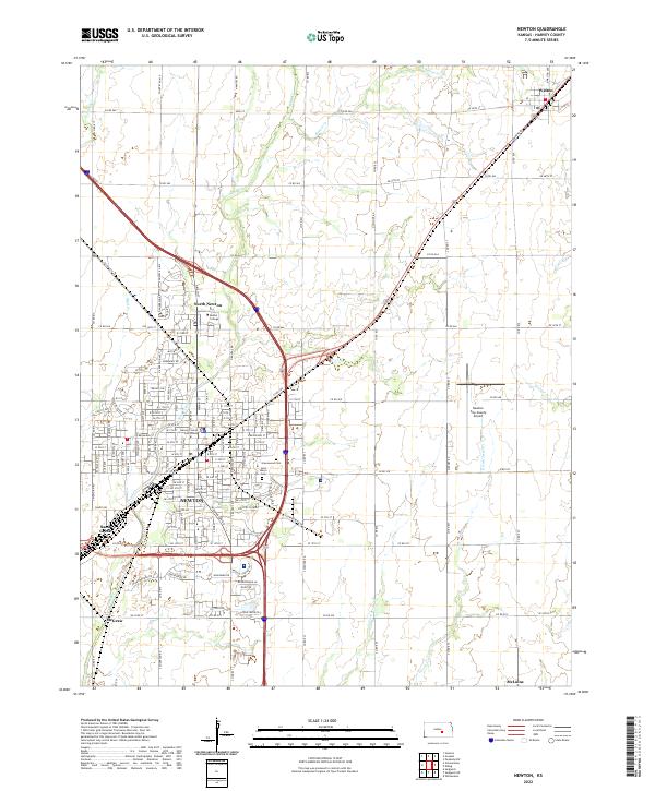
2022 Map of Newton
USGS Topo · Published 2022About this map
The city of Newton serves as the central hub of this 2022 survey, reflecting its long history as a regional crossroads in Harvey County. Established institutions such as Bethel College in North Newton and the Harvey County Courthouse mark the urban landscape, while the surrounding plains are characterized by a grid of rural roads and small outposts like Walton and McLains. The terrain is defined by the drainage patterns of Sand Creek and Beaver Cr, which meander through the landscape between the localized settlements.
Find a feature on this map
140 named features on this map. Tap any name to fly to it.
Don’t see what you’re looking for? This feature index may not catch every label — zoom into the map to look around manually.
Map Details
Editions of this 2022 Newton Map
This is the sole edition of this map. No revisions or reprints were ever made.
Other maps of this area

1889 · Newton
USGS Topo · 1:125,000

1889 · Wichita
USGS Topo · 1:125,000

1894 · Wichita
USGS Topo · 1:125,000

1894 · Newton
USGS Topo · 1:125,000

1955 · Wichita
USGS Topo · 1:250,000

1955 · Hutchinson
USGS Topo · 1:250,000

1957 · Newton
USGS Topo · 1:24,000

1957 · Peabody NW
USGS Topo · 1:24,000

1957 · Elbing
USGS Topo · 1:24,000

1958 · Wichita
USGS Topo · 1:250,000