Old Maps of Tice, Kansas for Genealogy
Trace your family roots with 11 historic maps of Tice. These high-res maps reveal old neighborhoods, homesites, landmarks, and streets — helping you uncover where your ancestors lived and how the area evolved over time.
- Explore historic neighborhoods: Identify where your relatives may have lived in the 1800s or 1900s.
- Compare maps over time: Trace the changes in streets, buildings, and landmarks for multi-generational research.
- Perfect for genealogy & ancestry research: Used by family historians and researchers to map out lineage and migration.
These maps are an incredible resource for exploring your personal connection to Tice's past.
Tice, KS maps
(11)- 1896 Map of Garden
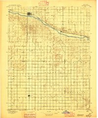 1896 Garden1896 Print · USGSFinney and Haskell counties come into focus during the late nineteenth century as the railroad transformed the High Plains. Genealogists and researchers can trace the early footprints of Garden and Santa Fe or locate prairie outposts like Ivanhoe and Pierceville.4 unique versions available
 - 1955 Map of Dodge City, 1968 Print
 1955 Dodge City1968 Print · USGSSouthwest Kansas in the mid-fifties reveals an expansive landscape of cattle towns, early gas fields, and prairie outposts. Researchers can trace rural school districts like Moundview and Good Luck or locate the Kansas State Game Farm near Lakin.3 unique versions available
 - 1958 Map of Dodge City
 1958 Dodge City1958 Print · USGSSouthwest Kansas in the late fifties shows a landscape of river-valley agriculture and burgeoning energy infrastructure. Genealogists can trace rural life through numerous landmarks like Fairview Cemetery, the Goodwell School, and Concord Church.
 - 1959 Map of Dodge City
 1959 Dodge City1959 Print · USGSSouthwest Kansas in the mid-fifties is captured at its agricultural height, centered on the vital rail and river hubs of Dodge City and Garden City. Genealogists and local historians can trace rural school districts like Shockey School and Hickok School or locate the Fairview Cemetery.
 - 1969 Map of Copeland, 1971 Print
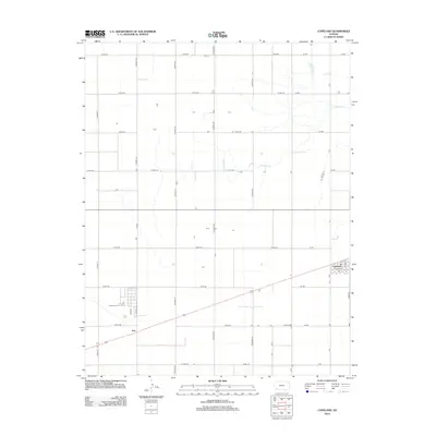
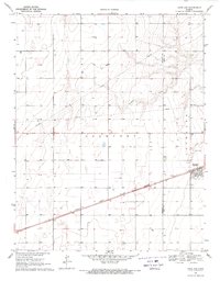 1969 Copeland1971 Print · USGSGray and Haskell counties show their agricultural foundations in the late sixties as the railroad drives local commerce. Genealogists and researchers can trace property lines through Lockport and locate features like the Cem and the siding at Tice.
 - 1985 Map of Dodge City
 1985 Dodge City1985 Print · USGSSouthwest Kansas in the mid-1980s was a landscape defined by the Arkansas River and the legacy of the rail. Researchers can trace the layout of Dodge City, find the Finney County State Game Refuge, and locate rural hubs like Montezuma and Cimarron.2 unique versions available
 - 2009 Map of Copeland, 2009 Print
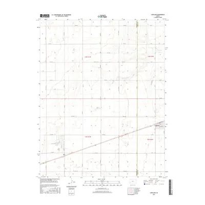
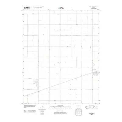 2009 Copeland2009 Print · USGSCovers Tice, including Copeland, Gray County, and other nearby areas
 - 2012 Map of Copeland, 2012 Print
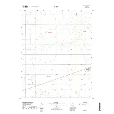
 2012 Copeland2012 Print · USGSCovers Tice, including Copeland, Gray County, and other nearby areas
 - 2016 Map of Copeland, 2016 Print
 2016 Copeland2016 Print · USGSCovers Tice, including Copeland, Gray County, and other nearby areas
 - 2018 Map of Copeland, 2018 Print
 2018 Copeland2018 Print · USGSCovers Tice, including Copeland, Gray County, and other nearby areas
 - 2022 Map of Copeland, 2022 Print
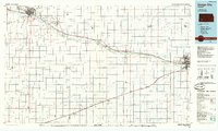
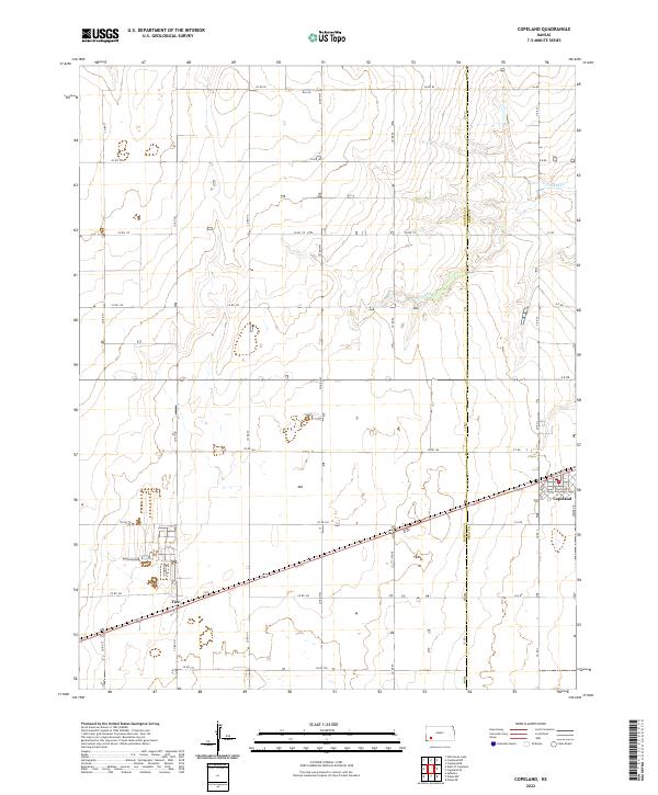 2022 Copeland2022 Print · USGSThe High Plains of Western Kansas are documented here in recent years, showing the precise intersection of Copeland and the neighboring community of Tice. Researchers can trace local property lines and roads like Somer Dr and follow the natural drainage of Crooked Cr.
End of results
Showing maps 1-11 of 11
Top cities near Tice
Frequently asked questions
- What are the different types of historical maps available for Tice?
- What is the oldest map of Tice?
- Where can I purchase historical maps of Tice for my home or office?
- Where can I download high-res historical maps of Tice?
- Are there historical topographic maps available for Tice?
- Is there historical aerial imagery available for Tice?
- Where are historical maps of Tice sourced from?